A school’s transport impact is about more than the number of cars arriving at the gate. A traffic impact study for new school in Tower Hamlets should consider the whole school-day travel system, including drop-off and pick-up activity, walking and cycling routes, public transport access, parking and peak-period effects.
It’s understandable to be concerned that a busy arrival period could affect nearby streets or that a planning submission may not include the right evidence. The study scope should reflect the school proposal and its location, not rely on a one-size-fits-all checklist. In Tower Hamlets, consider the borough’s transport priorities, the London-wide Healthy Streets approach and local conditions such as School Streets. Then establish which planning policies and requirements apply to the application.
This guide explains what a proportionate study can assess, how local and national planning context may shape its scope, and what traffic or parking evidence can support a robust application. It also explains how a Transport Statement, Transport Assessment or Travel Plan can organise that evidence for informed planning decisions.
Key Takeaways
- A traffic impact study for new school in Tower Hamlets should assess the full school-day travel system, not just vehicle volumes.
- Use the school’s size, access arrangements and site context to shape a proportionate evidence scope.
- Build a clear picture of existing conditions and expected pupil, staff, visitor and servicing trips before assessing potential effects.
- Consider how walking, cycling and public transport connect with access points, nearby junctions and drop-off activity.
- Transport Statements, Transport Assessments, Travel Plans and relevant survey data can help organise evidence for a planning submission.
Why a New School in Tower Hamlets Needs a School-Specific Traffic Impact Study
A traffic impact study assesses how a proposed development is likely to affect travel and transport. For a school, that means considering more than vehicle counts. The evidence should reflect who will travel, when they will arrive, how they will reach the site and how their journeys may affect nearby streets and transport networks.
The school’s operating details matter. Pupil numbers and age range, staff levels, entrances, start and finish times, and arrangements for visitors or deliveries can all influence travel demand. A primary school where many pupils arrive with an adult may create different kerbside activity from a secondary school whose pupils travel more independently. Use project-specific information to test these possibilities rather than treating them as facts in advance.
A traffic impact study informs planning decisions; it does not guarantee planning permission. Its purpose is to explain likely transport effects clearly and provide a proportionate basis for considering them.
How school travel peaks differ from everyday traffic
School travel often concentrates into short arrival and dismissal periods. A daily traffic average can hide that pattern, so the assessment should consider the school’s proposed operating hours and relevant peak-period conditions. Distinguish pupil drop-off, staff commuting, visitor journeys and servicing because they may involve different timings, routes and stopping behaviour.
For example, a delivery scheduled outside the pupil arrival period may have a different effect from several cars stopping near an entrance at the start of the school day. Use the school’s proposed capacity and operating arrangements to understand how these movements may overlap, rather than treating all trips as one uniform flow.
Why Tower Hamlets site context matters
Tower Hamlets has varied street environments, so borough-wide assumptions cannot describe every school site. Review the specific access points, street layout, nearby land uses and existing movement patterns. A school entrance beside homes may raise different questions from one close to shops or a busy public transport corridor.
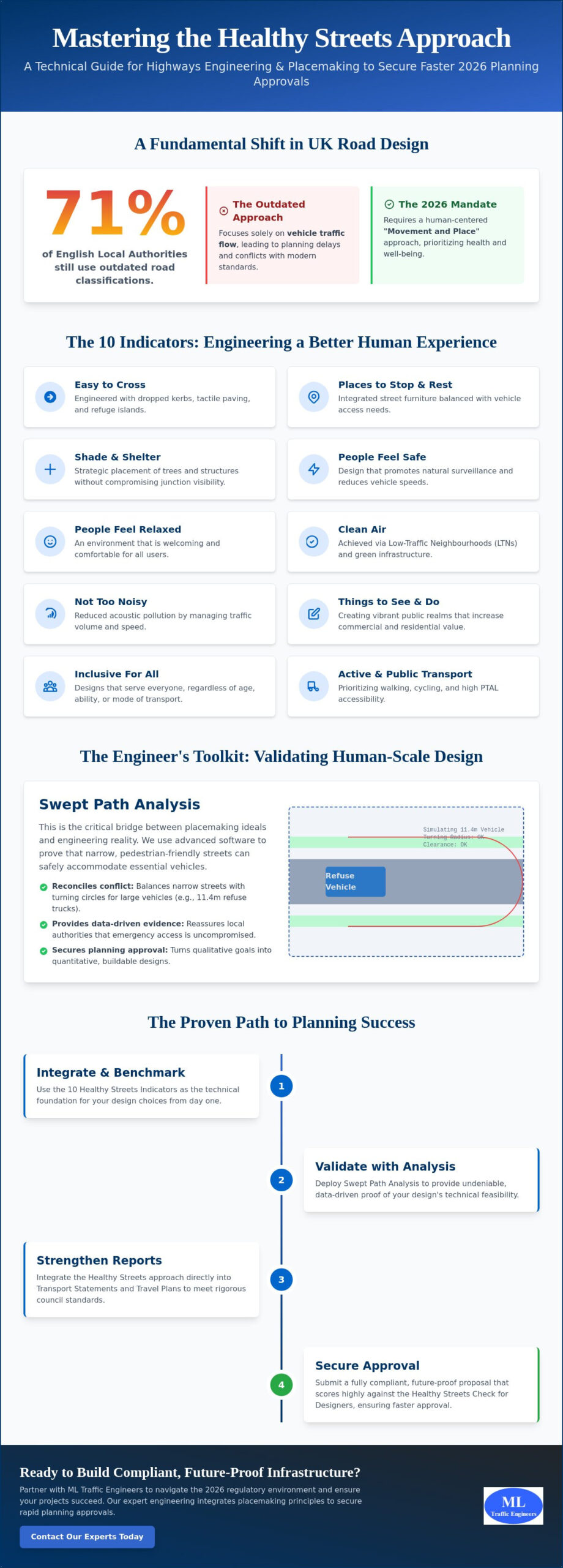
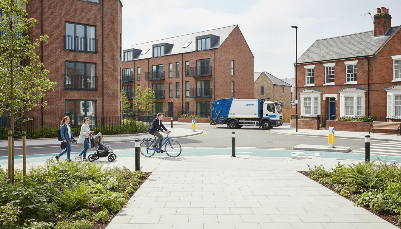
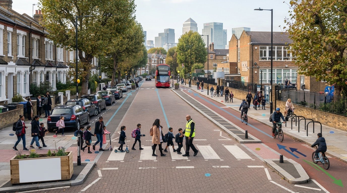
Map practical walking and cycling connections, public transport access and places where people may cross or gather. Consider how pupils and carers would approach the site, not only how vehicles would enter it. Where relevant, a potential School Street can form part of the local context. School Streets initiatives aim to reduce traffic around schools and support walking and cycling.
A useful first step is to compare the proposed school-day pattern with conditions on the streets likely to be used. Identify arrival and departure windows, routes to the site, access arrangements and servicing needs. Then map where movements may interact, such as at an entrance, junction, crossing point or kerbside stopping area. This focuses evidence on the places and times that matter, rather than relying on general traffic conditions.
For a traffic impact study for new school in Tower Hamlets, the central question is how this particular school will function within its immediate transport setting. A site-specific assessment makes its assumptions visible, shows which effects warrant attention and helps decision-makers understand the proposal on its own evidence.
What a Traffic Impact Study for a Tower Hamlets School Should Assess
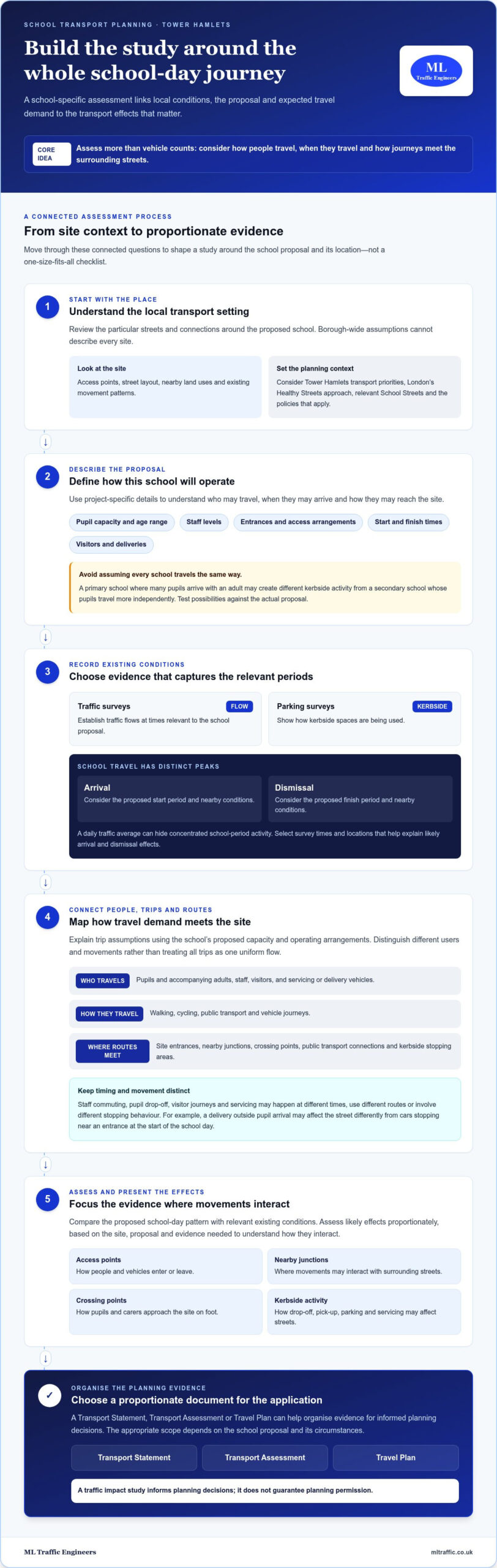
A sound assessment connects three things: existing transport conditions, the school proposal and the travel demand it is likely to generate. This helps focus the study on relevant effects, rather than treating every nearby road or mode as equally affected. For a traffic impact study for new school in Tower Hamlets, the scope should reflect the site, the proposed operation and the evidence needed to understand how they interact.
A school traffic study typically brings together baseline traffic and parking evidence, proposal details, trip assumptions, access and movement analysis, and proportionate consideration of potential impacts. The precise mix depends on the application and its circumstances.
Baseline conditions and school-generated trips
Start with a clear record of conditions around the site. Traffic Surveys can establish traffic flows at relevant times, while Parking Surveys can show how kerbside spaces are used. Select survey locations and periods to capture conditions that matter to the proposal. A count taken at an unrelated time may not explain the school’s likely arrival and dismissal effects.
Set out the development details that shape demand, including pupil capacity, staffing, operating hours, access arrangements and expected visitor or servicing activity. The study can then explain its trip assumptions and assess them against the local context. Avoid applying generic assumptions without explaining why they suit this particular school.
Access, movement, and street impacts
Assess how each travel mode connects with the site. This includes vehicle access and nearby junctions, as well as pedestrian routes, crossing opportunities, cycling provision and public transport links. Consider whether the proposed entrance locations and movement patterns are practical, and whether arrival or dismissal activity could affect access points or neighbouring streets.
Consider parking and drop-off in proportion to the proposal. The assessment may examine how planned parking relates to expected travel demand, where short stops may occur and whether servicing could overlap with busy school periods. A Travel Plan can complement this analysis by setting out how the school intends to support sustainable travel and manage travel behaviour.
Transport assessment and a Road Safety Audit are distinct forms of work. A traffic impact study considers transport effects and evidence relevant to the planning proposal; it should not be presented as a substitute for a Road Safety Audit. Keeping those scopes clear helps decision-makers understand what the transport evidence covers and what it does not.
Trace the journey from the surrounding network to the school gate and back again. A junction may operate adequately for general traffic yet still warrant closer consideration if school arrivals create concentrated turning movements. Likewise, low vehicle demand alone does not show whether walking routes, cycle access or kerbside activity have been adequately considered. Explain the basis for each conclusion and identify assumptions that affect it.
ML Traffic Engineers UK can bring relevant traffic and parking evidence together in a tailored planning report. Explore the consultancy’s transport planning services to see how surveys and technical analysis can support a school proposal.
Tower Hamlets Planning Context: Matching the Study to the School Proposal
The right transport report depends on the proposal, not on a label applied automatically to every school. Scale, expected travel demand, site access, surrounding street conditions and potential effects on the transport network all help determine what evidence is proportionate. A traffic impact study for new school in Tower Hamlets should connect the specific development with the planning requirements that apply to its application.
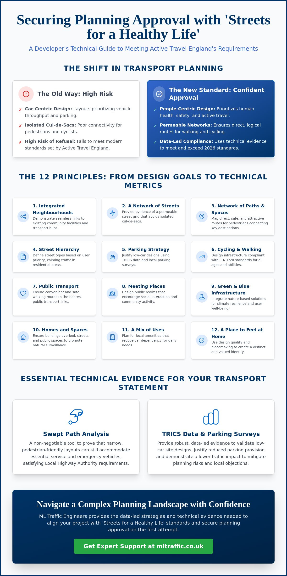
Review the current London Borough of Tower Hamlets planning guidance and validation requirements. Then identify the relevant London-wide policy framework and any Transport for London (TfL) guidance that applies to the proposal. Highway responsibility can vary by road, so establish which authority is responsible for the roads included in the assessment instead of assuming one authority covers the whole study area.
Transport Statement or Transport Assessment for a school?
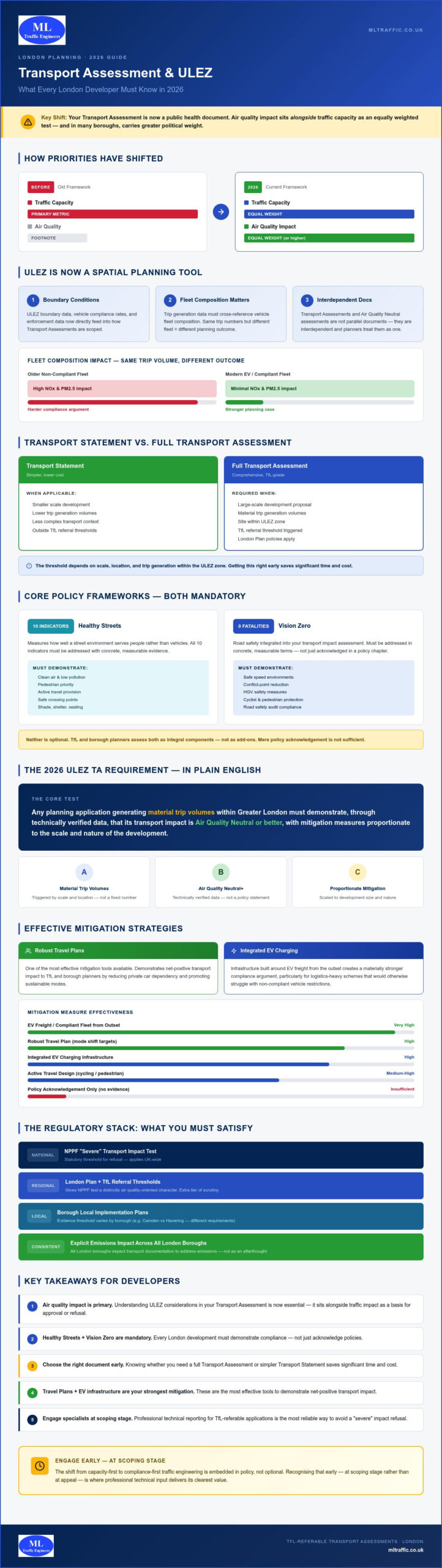
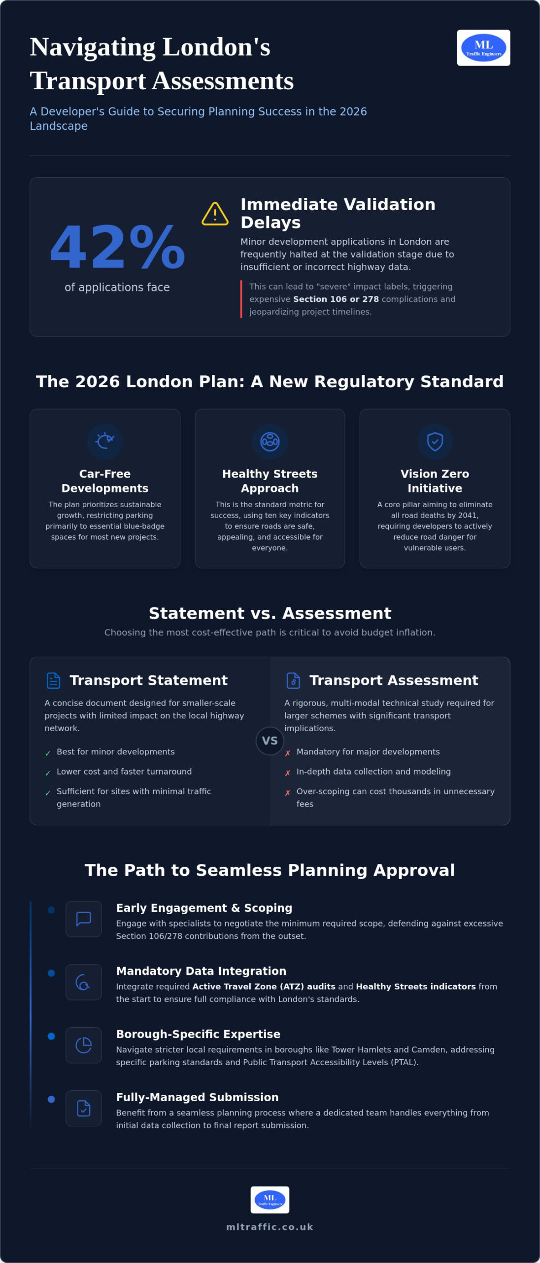
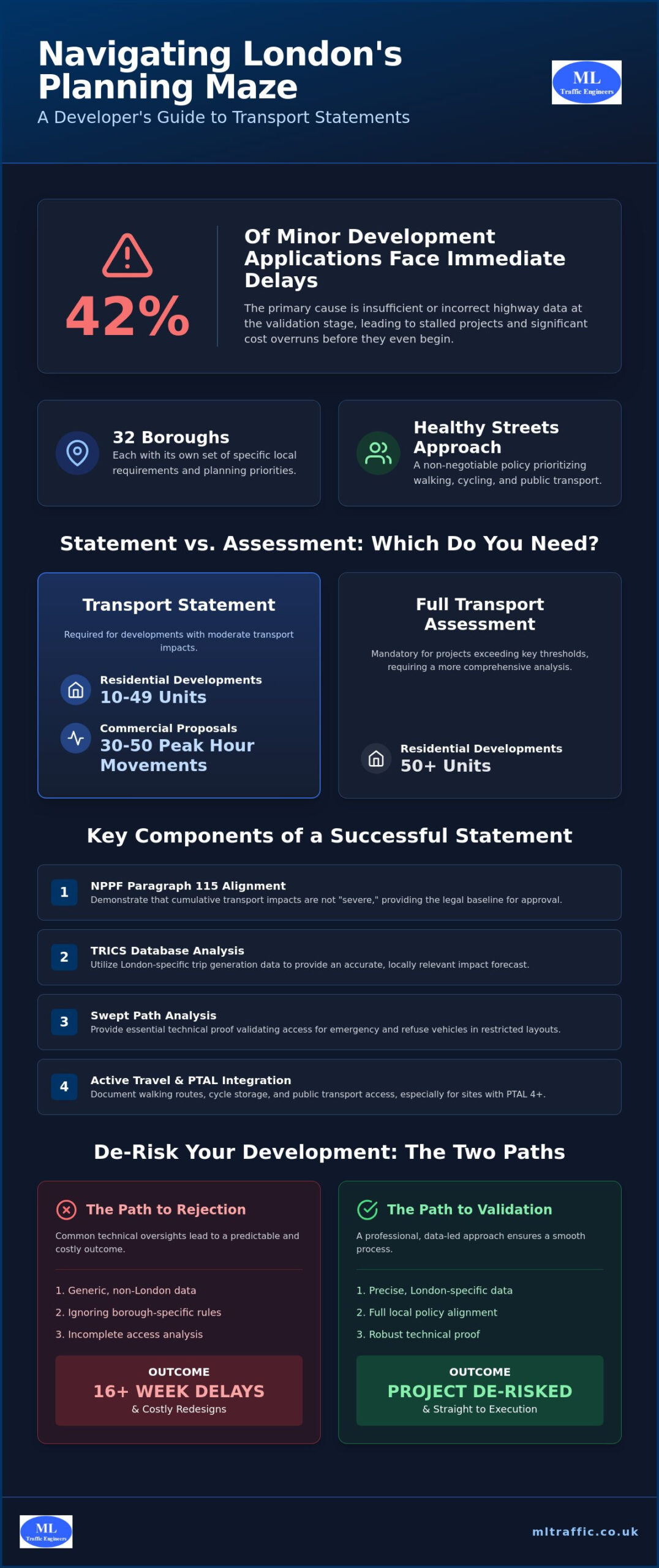
A Transport Statement presents focused transport evidence for a proposal where a concise assessment is proportionate. A Transport Assessment generally provides a more detailed examination of transport conditions, expected demand and potential effects. Do not select a report type using an unsupported school-size or trip threshold. The appropriate scope depends on the application and its circumstances.
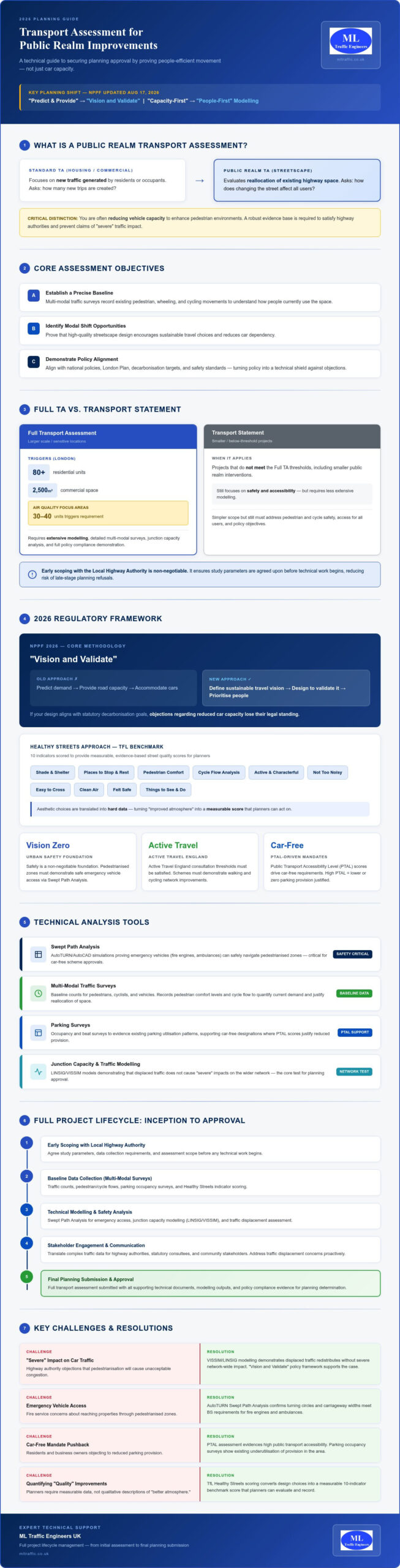
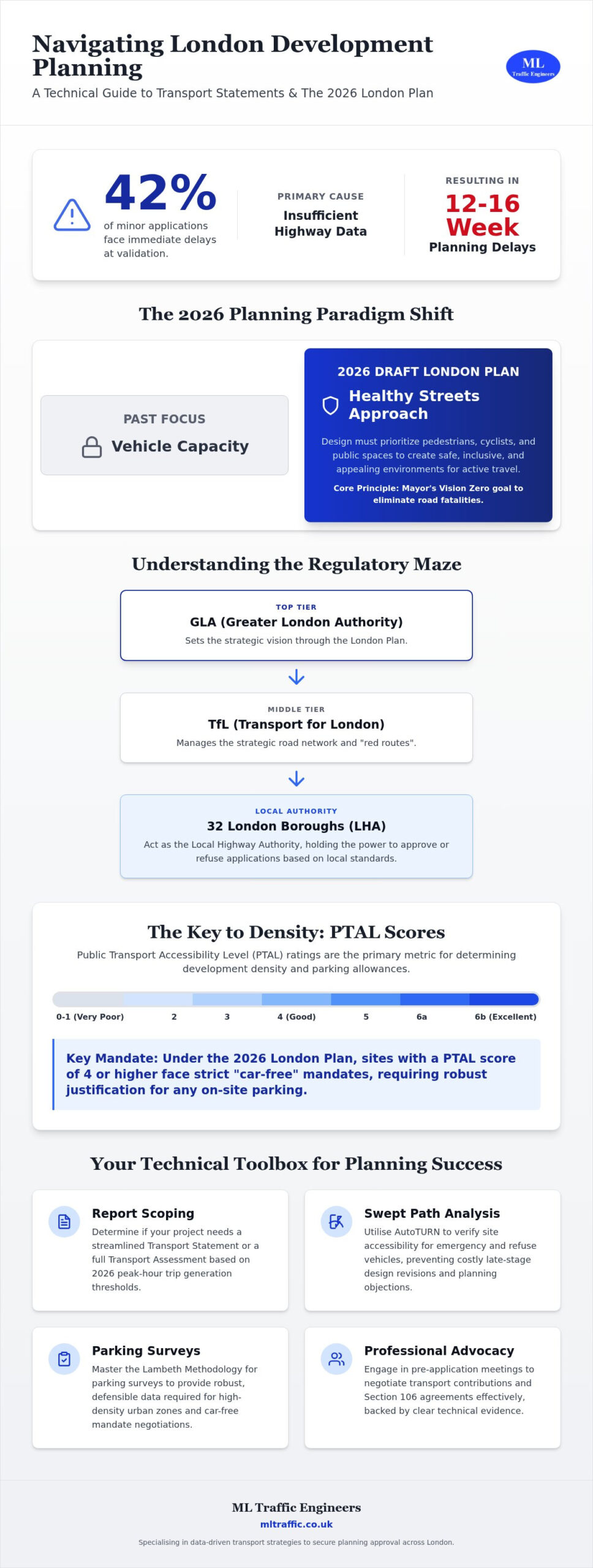
For a fuller explanation of the distinction and its role in planning, see this guide to London transport assessment guidance. For a school proposal, the practical question is whether the chosen report gives decision-makers enough relevant evidence to understand the development’s transport implications.
How local and national policy informs the assessment
Policy review should be specific and current. Tower Hamlets planning documents may include adopted and emerging policies, so distinguish their status and establish which provisions are relevant to the application. Consider the London-wide framework, the National Planning Policy Framework and TfL guidance where applicable. Do not present a general policy objective as a site-specific requirement unless the relevant document supports that interpretation.
Translate policy into a clear scope before assembling the evidence. A practical review can establish:
- Which development details and transport effects the application needs to address.
- What Tower Hamlets’ current validation guidance requests for this type of proposal.
- Whether TfL or another highway authority has a relevant role in the application or on affected roads.
- Which evidence and level of analysis are proportionate to the site and likely effects.
This sequence helps prevent two common problems: submitting a report that does not answer the authority’s planning questions, or collecting data that adds little value to the decision. It also keeps the assessment grounded in the school’s actual access arrangements and local transport conditions.
Policy and guidance can change, so record the document title, version and date used to define the assessment scope. This gives the planning submission a transparent basis and makes it easier to explain why the report addresses particular issues. A tailored Transport Statement or Transport Assessment can then organise the relevant evidence without implying that one report format or policy reference guarantees an outcome.
How to Build Credible School Travel Evidence and Address Traffic Concerns
Credible evidence follows a clear line from the school proposal to likely transport effects and any practical response. A traffic study does not simply count cars, and it does not automatically predict unacceptable congestion. It tests how the proposal may affect travel conditions using stated assumptions and relevant information, then explains what the findings mean.
A practical sequence for developing the evidence
Begin by confirming the school’s capacity, operating arrangements, access design and the questions the planning assessment needs to answer. These details shape the likely pattern of pupil, staff, visitor and servicing trips. Next, define the study area and select suitable survey locations and periods so the baseline reflects the streets and times relevant to the proposal.
Then assess expected travel demand against existing conditions. Record the assumptions behind the analysis, including any limits in the available information. Present findings in plain terms and connect recommendations to the impacts identified. This makes the reasoning traceable for applicants, decision-makers and others reviewing the evidence.
- Define the proposal. Document capacity, opening and closing arrangements, access points and relevant operational details.
- Establish the baseline. Choose traffic or parking survey locations and periods that relate to the site and assessment questions.
- Assess likely travel effects. Explain the trip assumptions and consider how expected movements interact with existing conditions.
- Set out proportionate responses. Link each recommendation to a finding, and describe any remaining considerations clearly.
Travel management that responds to identified impacts
Responses should address the issue identified by the evidence. If the assessment highlights pressure around arrival times, consider how access arrangements and arrival management could help. If local connections make walking, cycling or public transport relevant to the proposal, consider how the school can support those modes. Broad promises about sustainable travel are not a substitute for assessing likely effects.
A Travel Plan can set out measures to encourage more sustainable school journeys and explain how the school intends to manage travel behaviour. Its contents should suit the school and its location. A plan complements transport assessment evidence; it does not replace it.
Keep each response proportionate. Identify the concern it addresses, the intended approach and how it relates to the school’s operation. For example, if the evidence points to concentrated stopping near an entrance, focus on arrival arrangements and travel management rather than assuming that adding parking is the only answer. The assessment should still report the underlying effect clearly, including where a measure may not remove it entirely.
For a traffic impact study for new school in Tower Hamlets, transparent assumptions and a direct link between evidence and response make the submission easier to assess. ML Traffic Engineers UK prepares transport reports supported by traffic and parking surveys. Discuss a tailored transport evidence scope for a school planning submission.
How ML Traffic Engineers UK Supports a New School Planning Submission
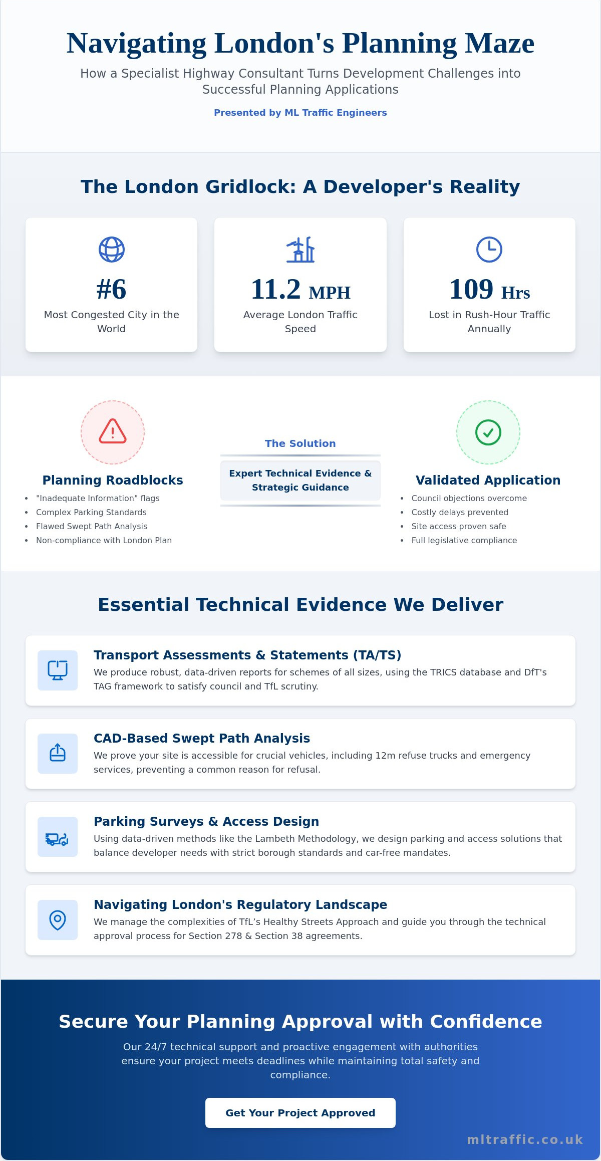
Transport evidence is most useful when its scope follows the school proposal and the questions raised by the site. ML Traffic Engineers UK prepares Transport Statements, Transport Assessments and Travel Plans for planning submissions, supported by Traffic Surveys, Parking Surveys and technical analysis. These services help applicants organise relevant information around the development rather than rely on generic assumptions.
For a traffic impact study for new school in Tower Hamlets, the proposed school, access arrangements and operating context help determine what the assessment needs to examine. A new entrance, planned pupil capacity, staff travel and delivery arrangements may each affect the questions to address. The reporting scope can then be tailored to the proposal and local conditions.
From school proposal details to transport evidence
Useful starting information includes the site location, available plans, proposed access points, intended capacity and known operating assumptions. These details help define the relevant assessment area and whether traffic or parking evidence would support the analysis. Survey work should relate to the planning questions, not simply collect data without a clear purpose.
Traffic Surveys can establish relevant traffic conditions, while Parking Surveys provide evidence about existing parking activity. The findings can inform the report’s assessment of the proposal and make its assumptions easier to follow. Explore ML Traffic Engineers UK’s transport planning services to understand how reporting and survey evidence can support a planning submission.
Planning the next step for a Tower Hamlets project
Before progressing the evidence, gather the information already available and note any details still being developed. This gives the transport assessment a practical starting point and helps keep its scope aligned with the current proposal.
- Site plans showing boundaries, entrances and proposed access arrangements.
- School capacity, intended operating hours and known staff or visitor arrangements.
- Available details about deliveries, servicing and any planned travel management.
- Relevant planning guidance or transport questions already identified for the application.
ML Traffic Engineers UK can use these project details to shape a proportionate transport report and identify relevant traffic or parking evidence. The resulting Transport Statement, Transport Assessment or Travel Plan can explain likely transport effects and support informed consideration of the application. It cannot guarantee planning permission; the planning decision rests with the relevant authority.
If you’re preparing a new school proposal in Tower Hamlets, discuss your project’s transport evidence requirements with ML Traffic Engineers UK. Sharing the plans and known operating assumptions is a practical first step towards defining a suitable reporting scope.
Give Your School Proposal a Clear Transport Evidence Plan
Turn the proposal into a focused brief: clarify what’s known about the school’s operation, what decisions are still being developed and which transport questions need evidence. This keeps the assessment aligned with the project as it evolves and makes assumptions and outstanding information visible from the outset.
A well-scoped traffic impact study for new school in Tower Hamlets can support a more informed planning discussion by showing how the evidence relates to the proposal and its setting. It informs consideration of transport effects but cannot guarantee a planning decision. Starting with a clear brief gives the work a practical direction.
ML Traffic Engineers UK is an independent UK consultancy preparing Transport Statements, Transport Assessments and Travel Plans, supported by traffic data services. The consultancy supports projects in Greater London, Manchester, Birmingham, the West Midlands, Liverpool, Surrey, East Sussex, West Sussex, Hampshire, Berkshire and Buckinghamshire. Plan the next step for your Tower Hamlets school transport evidence with a scope shaped around your proposal.
With the right information in place, you can progress the transport evidence with greater clarity and confidence.
Frequently Asked Questions
Does a new school in Tower Hamlets need a traffic impact study?
It depends on the proposal and the planning requirements that apply to the site. The London Borough of Tower Hamlets’ current validation guidance and any development-specific requests should inform the decision. A traffic impact study for new school in Tower Hamlets may be needed where the proposal could affect transport conditions, but there is no single assumption that fits every school. Establish the application requirements early, before finalising the supporting documents.
What does a school traffic impact study include?
It usually brings together information about the school proposal and transport conditions relevant to the application. Depending on the site, evidence may cover access, travel demand, traffic and parking data, and how people reach the school. The report should explain its assumptions and why its scope is suitable. For example, if the proposal changes an existing building’s use, the assessment may need to consider how the new operation differs from the current one.
How are school drop-off and pick-up traffic impacts assessed?
Assessment considers the school’s expected arrival and departure patterns, likely stopping activity and the streets or access points that could be affected. It can distinguish different arrival groups, such as pupils accompanied by adults and staff arriving separately. The analysis should relate these movements to suitable observed or forecast conditions, rather than rely on a daily average. The evidence helps identify whether particular access arrangements or travel management measures warrant attention.
Is a Transport Statement enough for a new school planning application?
Not necessarily. A Transport Statement may be suitable where focused evidence addresses the proposal’s likely transport effects. A Transport Assessment may be appropriate when the application’s scale, complexity or potential impacts call for more detailed analysis. The report type should respond to the project and the council’s validation requirements, not an assumed school-size threshold. Reviewing the application requirements alongside the site plans can help establish the appropriate scope before submission.
Can a school Travel Plan reduce traffic concerns in Tower Hamlets?
A Travel Plan can set out measures intended to encourage walking, cycling and public transport, and explain how the school will promote them to its community. It may support responses to specific travel concerns, such as reliance on car drop-offs. However, it does not replace assessment of the proposal’s transport effects. Its measures should be practical for the school and connected to issues identified in the supporting evidence.
When should a traffic impact study be prepared for a new school?
Prepare the transport evidence early enough to inform the application and, where possible, the site layout and access design. Starting after key arrangements are fixed can make it harder to respond efficiently if the assessment identifies an issue. Early work also gives the project team time to establish what information is available and what surveys may be relevant. Use a clearly defined version of the proposal so the study’s assumptions remain traceable.
Who assesses a school traffic impact study in Tower Hamlets?
The London Borough of Tower Hamlets considers transport evidence as part of its planning determination, taking account of relevant planning and highway interests. Depending on the application and roads affected, Transport for London or another highway authority may also have a role. The applicant’s transport consultant prepares the technical report, and the authority evaluates it alongside the wider planning submission. Establishing responsibility for relevant roads helps direct evidence to the appropriate decision-makers.

Disclaimer
The content on mltraffic.co.uk, including all technical articles, guides, and resources, is provided for general informational and educational purposes only. It is not intended to constitute professional advice in traffic engineering, transportation planning, development approvals, or any other technical or legal field.
While ML Traffic Engineers makes every reasonable effort to ensure the accuracy, completeness, and timeliness of the information published, we do not provide any warranties or representations (express or implied) regarding its reliability, suitability, or availability for any particular purpose. Any reliance you place on the content is strictly at your own risk.
In no event shall ML Traffic Engineers, its directors, employees, authors, or affiliates be liable for any direct, indirect, incidental, special, consequential, or punitive damages (including, without limitation, loss of profits, data, or business opportunities) arising out of or in connection with the use of, or inability to use, any information provided on this website.
The articles and guides on this site are not a substitute for engaging a qualified, professional traffic engineer to assess your specific project requirements. For tailored advice, compliance assessments, or traffic engineering services, please contact a competent professional.
This disclaimer may be updated from time to time without notice. By accessing or using this website, you agree to be bound by the most current version of this disclaimer.