Planning growth in Lichfield isn’t just a case of drawing a red line around a site and proving a land use works on paper. In practice, transport planning Lichfield schemes live or die on the detail: whether access is safe, whether nearby junctions can cope, whether walking and cycling links are genuinely usable, and whether the right evidence has been put in front of decision-makers at the right time.
That matters because Lichfield has a tricky mix of conditions. There’s the historic city core, smaller settlements, strategic connections to the A38 and A5, rail links that can be a real advantage, and a road network that can feel forgiving at one hour and very constrained at the next. Add in Staffordshire County Council’s role as highway authority, Lichfield District Council’s planning policies, and National Highways on the strategic road network where relevant, and it becomes obvious why transport evidence has to be both technically sound and locally grounded.
In this guide, we set out what architects, planners, developers, surveyors, legal teams and local authorities need to know about transport planning in Lichfield in 2026. We’ll cover when a Transport Assessment, Transport Statement or Travel Plan is likely to be needed, what a robust report should include, the local issues that shape outcomes, and the practical steps that help avoid delay. Our aim is simple: clearer applications, fewer surprises, and transport submissions that stand up to scrutiny.
Why Transport Planning Matters For Development In Lichfield
Transport planning is often treated as a planning application workstream that comes in once the site layout is mostly fixed. In Lichfield, that approach usually creates more problems than it solves.
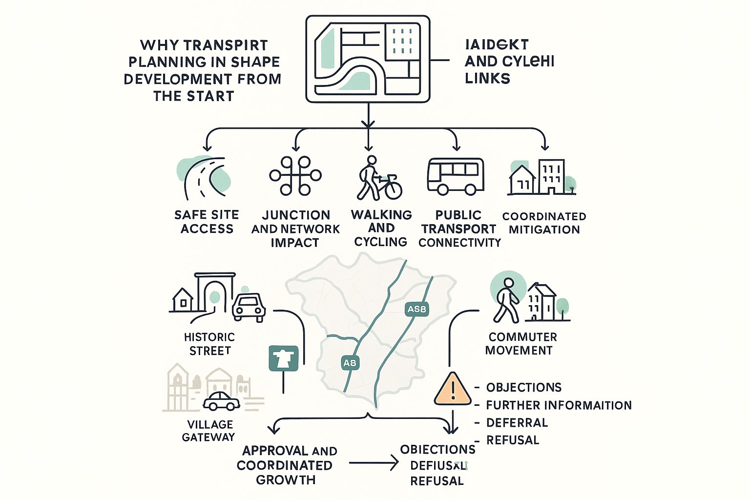
The reason is straightforward. Transport evidence doesn’t just support a scheme after the fact: it helps determine whether development is acceptable in the first place. A proposal needs to show safe and suitable access, acceptable residual cumulative impact, and credible opportunities for travel by walking, cycling and public transport. Those are not side issues. They sit at the heart of the National Planning Policy Framework and are central to local decision-making.
In Lichfield, this is especially important because growth has to be balanced against a network with real constraints. Strategic corridors such as the A38 and A5 are vital for connectivity, but they also bring pressure at key junctions and can draw in National Highways where impacts extend onto the strategic road network. Within the district itself, historic streets, village approaches, on-street parking, school traffic and peak commuter flows can all shape what is realistic.
A well-prepared transport submission also supports the Local Plan growth strategy by showing how housing and employment allocations can come forward in a coordinated way. Done well, it helps secure approvals and proportionate mitigation. Done poorly, it can lead to objections, requests for further information, committee deferrals or refusal. That’s why we treat transport planning as an early design and strategy tool, not just a report-writing exercise.
When A Transport Assessment, Transport Statement, Or Travel Plan Is Needed
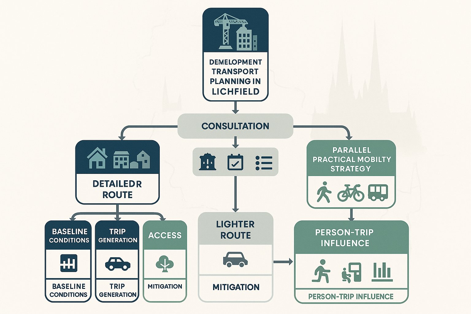
The short answer is: it depends on the scale, type and likely impact of the proposal. But in transport planning Lichfield projects, the more useful answer is that requirements should be agreed early with Lichfield District Council and Staffordshire County Council through pre-application discussion.
As a rule, a Transport Assessment (TA) is expected for larger or higher-impact development. That typically includes major residential schemes, substantial retail proposals, larger employment sites, and mixed-use development where person-trips or vehicle movements could materially affect the surrounding network. A TA is the more detailed route. It usually examines baseline conditions, trip generation, trip distribution, traffic impact, access design, sustainable travel opportunities and mitigation in depth.
A Transport Statement (TS) is generally used for smaller schemes where impacts are likely to be more limited. It still needs to be robust, but the level of modelling and assessment is often lighter and more focused.
A Travel Plan may be required alongside either document where a development is expected to generate significant person-trips or where mode choice can realistically be influenced. Workplaces, schools, larger residential schemes and mixed-use developments are common examples. And yes, councils will increasingly expect the Travel Plan to be practical rather than aspirational.
The key point is proportionality. We don’t want to over-engineer a small application, but we also don’t want to under-scope a scheme and end up resubmitting evidence later. Early agreement on thresholds, survey scope, assessment years and modelling assumptions can save weeks, sometimes months.
How Lichfield’s Local Context Shapes Transport Evidence
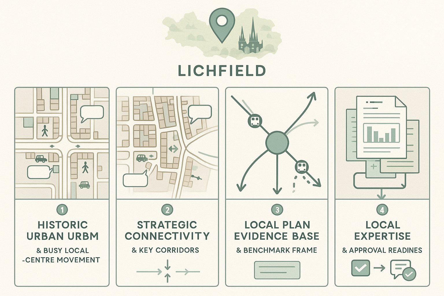
Lichfield’s planning and transport context is unusually varied for a district of its size. You’ve got the historic city, market-town dynamics, rural settlements, strategic commuter links and a development pattern that can quickly expose weak assumptions if a report relies too much on generic national averages.
That local context affects transport evidence in a few obvious ways.
First, the historic urban form matters. In central Lichfield, streets can be constrained, visibility can be affected by frontage development or parked vehicles, and pedestrian movement is often more intense than a simple link-capacity review suggests. What works in a standard suburban layout may not work at all near a conservation-sensitive route or heavily used local centre.
Second, strategic connectivity creates both opportunity and pressure. Rail access via Lichfield City and Trent Valley can support sustainable travel narratives, but road connections to the A38 and A5 can introduce peak-hour congestion, strategic modelling issues and scrutiny from multiple stakeholders.
Third, the Local Plan evidence base matters. Transport Evidence Base documents, strategic modelling work and assumptions around cumulative growth are not background reading: they often shape the benchmark against which an application is judged. If a site comes forward with growth assumptions or distribution patterns that cut across locally accepted evidence, officers are unlikely to be persuaded.
This is where local experience helps. At ML Traffic, for example, we tailor reports to authority expectations and site context rather than relying on a one-size-fits-all template. In Lichfield, that local fit can make the difference between an efficient review and a long chain of technical queries.
Key Planning And Highway Considerations For Sites In Lichfield
A strong transport submission in Lichfield usually succeeds because it answers a practical set of questions clearly. Can vehicles enter and leave safely? Will the surrounding network continue to function acceptably? Are there realistic alternatives to the private car? Does the design align with policy as well as engineering guidance?
From a planning perspective, the starting point is the NPPF. The familiar tests still apply: safe and suitable access for all users, and no unacceptable impact on highway safety or severe residual cumulative impacts on the road network. Those words are quoted often, but what matters is how they are evidenced.
Local policy then adds texture. Lichfield District Council will be concerned with location, sustainability, parking, climate considerations and the relationship between development and settlement form. Staffordshire County Council, as highway authority, will focus on design standards, operational performance, servicing, geometry, visibility, tracking and deliverability of off-site works.
Where routes connect to the A38 or A5, or where strategic impacts may arise, National Highways can also become a key consultee. That raises the bar for forecasting, mitigation and cumulative impact testing.
In practice, the best applications are the ones where transport, layout and planning strategy are developed together. If access design, parking, refuse tracking, pedestrian links and travel planning are left until the end, avoidable conflicts usually appear.
Access Design, Visibility, And Junction Capacity
Access arrangements are often the first point of technical challenge, and with good reason. If the site can’t be accessed safely and efficiently, the rest of the scheme becomes harder to defend.
For Lichfield sites, access design normally needs to respond to Manual for Streets, relevant DMRB principles where applicable, and Staffordshire County Council’s local requirements. Visibility splays should be based on robust speed data, usually 85th percentile vehicle speeds rather than assumptions pulled from a speed limit sign alone. On rural approaches, forward visibility and right-turning movements can be critical, particularly where vehicles may slow in a live traffic stream.
Junction capacity is the other major issue. Depending on the junction form, that may involve PICADY, ARCADY or LINSig modelling, with assessment years and committed development agreed in advance. In urban Lichfield, interaction with on-street parking, bus stops, crossing movements and existing queue patterns often matters just as much as raw RFC or DoS outputs.
We’d also expect to see swept-path analysis, refuse and emergency access checks, and a realistic review of whether the proposed access works on a wet Tuesday morning, not just in CAD.
Walking, Cycling, And Public Transport Connectivity
A surprising number of transport reports still treat sustainable travel as a short appendix. In Lichfield, that’s risky. Officers will want to know whether walking, cycling and public transport links are genuine options, not theoretical ones.
That means mapping routes to local centres, schools, bus stops and rail stations, then auditing their quality. Are footways continuous? Are crossings informal, controlled or absent? Is there lighting? Can someone in everyday shoes walk the route comfortably, or are we overselling a marginal connection along a narrow verge?
Cycling provision deserves the same honesty. A route may look short on a plan, but if it requires mixing with fast traffic or negotiating awkward crossings, mode shift claims weaken quickly. Public transport analysis should cover service frequency, stop quality, walk distance and the usefulness of routes for likely trip purposes.
Where gaps exist, mitigation may include new or widened footways, tactile crossings, cycle links, bus stop upgrades or financial contributions. Sometimes relatively modest off-site works can materially improve the planning case. The point is to connect the scheme to the places people actually need to go, rather than simply noting that a bus stop exists somewhere nearby.
What A Typical Transport Planning Report Should Cover
Whether the submission is a TA or TS, the structure should be disciplined and proportionate. Reports that are too thin invite objections: reports that are bloated with irrelevant data can be just as unhelpful.
In Lichfield, a typical report should start with the policy context: national policy, the development plan, any relevant supplementary guidance, and where applicable Neighbourhood Plan considerations. That section should do more than list documents. It should explain which policy tests the scheme needs to satisfy.
Next comes the baseline review. We’d usually cover the site location, surrounding highway network, traffic conditions, collision history, speed environment, walking and cycling links, bus services, and rail accessibility where relevant. For many sites, this is where the local story is established.
The report should then deal with trip generation and trip distribution, often drawing on TRICS, census journey-to-work data, local surveys and authority evidence where available. From there, the assessment can move into junction and network impact, comparing future scenarios with and without the development.
A robust report also needs to explain the access proposals, internal layout principles, servicing strategy, parking provision, cycle parking and any EV charging assumptions tied to the wider scheme. If a Travel Plan is required, a framework or full version should be included. And the report should close with a clear mitigation strategy: physical works, management measures, contributions, triggers and next steps.
In other words, the best reports tell a coherent story. They don’t dump technical material onto a planner’s desk and hope for the best.
Traffic Surveys, Data Collection, And Forecasting For Lichfield Sites
Good modelling starts with good data. It sounds obvious, but many transport planning disputes come back to poor survey scoping, outdated counts, unrepresentative survey dates, or forecast assumptions that haven’t been agreed with the highway authority.
For Lichfield sites, we commonly see a need for classified turning counts, automatic traffic counts, queue surveys and, where access is a live issue, speed surveys. The right locations and survey periods should be discussed with Staffordshire County Council early, especially if there are known peak-hour pinch points or school-related effects nearby.
Survey timing matters more than people think. School holidays, abnormal roadworks, rail strikes, severe weather or one-off local events can all distort conditions. If surveys don’t reflect typical operation, the authority may simply reject them.
Forecasting then needs to be consistent with accepted methodology. That often means applying TEMPro/NTEM growth factors, adding committed development, and checking assumptions against the Local Plan evidence base or wider Staffordshire strategic models where cumulative impact is a key issue. For larger schemes, local model outputs may be needed rather than stand-alone junction modelling.
And we shouldn’t ignore professional judgement. Models are useful, but they can become performative if they’re not grounded in how the network actually behaves. In Lichfield, a queue that spills back across one junction can affect another very quickly. So forecasting should always be checked against observed conditions and a realistic understanding of network interaction.
Common Development Types And Their Transport Planning Challenges
Different land uses create different transport risks, and in Lichfield the distinction matters. A residential site on the edge of settlement raises one set of questions. A school extension, care facility or edge-of-network employment proposal raises another.
That’s why a generic transport planning approach rarely works well. Thresholds, peak periods, access design needs, trip patterns and mitigation opportunities vary by use. Even within the same use class, site context can completely change the assessment. A 60-home scheme within walking distance of services and a station is not the same exercise as a 60-home scheme accessed from a rural road with no continuous footway.
Understanding those differences early helps shape the right scope, the right report, and the right conversations with officers. It also helps the wider consultant team. Architects need to know whether street geometry is likely to be challenged: planners need to know if cumulative impact is likely to be the battleground: legal teams need to understand whether obligations for off-site works or monitoring are probable.
Below are two broad groups we deal with regularly in and around Lichfield.
Residential, Mixed-Use, And Commercial Schemes
Residential schemes often turn on peak-hour trip generation, access geometry, parking strategy and the realism of sustainable travel claims. In Lichfield, edge-of-settlement sites may face pressure around radial routes, village gateways or A-road junctions that already feel close to practical capacity at commuter peaks.
Mixed-use schemes add complexity because internal trip capture, servicing arrangements and multi-peak activity patterns all need to be handled carefully. For commercial and employment proposals, the focus can shift towards HGV routing, loading, staff travel, shift patterns and the relationship to the A38 or A5.
Parking is another balancing act. Under-provision creates operational stress and neighbour concern: over-provision can undermine sustainable travel objectives and place-making. We also increasingly need to address cycle parking quality and EV charging in a way that aligns with planning policy and market expectations.
The strongest submissions are specific about how the development will actually function day to day, not just what a spreadsheet says its trip rate should be.
Schools, Care Uses, And Community Developments
Schools create some of the sharpest transport peaks in the planning system. Short, intense arrival and departure windows can generate congestion, unsafe manoeuvres, informal parking and crossing pressure even where all-day traffic levels appear modest. A credible School Travel Plan, drop-off management strategy and pedestrian safety review are usually essential.
Care developments are different. Resident trip rates may be comparatively low, but staff shift changes, visitor patterns, servicing, ambulance access and accessibility for people with limited mobility all need proper attention. A site can appear light-touch in highway terms yet still fail if the access arrangement or local walking environment is poor.
Community uses are often the trickiest to explain because demand can be intermittent. A hall, faith venue or sports facility may operate quietly most of the time, then generate very high parking demand and pedestrian movement during events. In those cases, the transport strategy often needs to think beyond average days and address management, stewarding, overspill parking risk and event-specific safety measures.
Different uses, different pressure points. The method has to flex accordingly.
How To Strengthen A Planning Application And Avoid Delays
If we had to reduce this section to one message, it would be: start earlier than feels necessary.
Delays on transport grounds are often avoidable. They usually happen because survey scope was agreed too late, access design changed after the modelling was done, the Travel Plan was left vague, or the submitted assumptions don’t align with what officers were expecting.
A stronger approach starts with pre-application engagement. Agree whether the scheme needs a TA or TS, which junctions should be surveyed, what future years should be tested, and whether committed development or strategic modelling outputs need to be included. That kind of upfront clarity is invaluable.
It also helps to use locally credible assumptions. Trip rates, distribution patterns and growth factors should be evidence-led and, where necessary, discussed with Staffordshire County Council before the application lands. If unusual assumptions are justified, explain them plainly and early.
Design coordination matters too. Access geometry, visibility, parking, refuse tracking, cycle parking and internal pedestrian movement should be resolved alongside the architecture and landscape strategy, not bolted on later. If road safety audits, swept paths or draft Section 278 thinking are likely to be needed, prepare them in time.
And finally, make the Travel Plan realistic. Specific measures, monitoring, funding and accountability carry more weight than generic promises to encourage sustainable travel. Officers can usually tell the difference in a few pages.
Working With Local Authorities, Highways Officers, And Project Teams
Transport planning works best when it’s collaborative. That sounds obvious, but plenty of applications still arrive with transport evidence written in a silo, disconnected from drainage constraints, urban design choices, ecology mitigation, or the legal reality of off-site delivery.
In Lichfield, regular dialogue with Lichfield District Council planning officers and Staffordshire County Council highways officers can make a noticeable difference. Not because standards are lowered, they aren’t, but because expectations become clearer. Scope can be agreed, local concerns can be identified early, and technical work can be directed toward the issues that actually matter.
For some schemes, parish councils and local stakeholders also have a meaningful role, especially where access, school traffic, village character or pedestrian safety are sensitive topics. Ignoring those concerns rarely makes them disappear.
Within the project team, transport input should feed into masterplanning, drainage, landscape, arboriculture and environmental assessments from the outset. A visibility splay can affect planting. A drainage feature can alter access geometry. A noise constraint can influence where active frontages and pedestrian routes sit. These are not separate decisions.
Where impacts are material, it also helps to address Section 278 works and Section 106 obligations early. If off-site highway works, travel plan monitoring or sustainable transport contributions are likely, it is far better to identify heads of terms before committee stage than scramble after an objection lands.
That, really, is the practical value of good transport planning Lichfield projects need in 2026: fewer surprises, better coordination, and evidence that is technically solid because it has been built around the place, the policy context and the people reviewing it.
In our experience, that approach doesn’t just improve the odds of approval. It improves the quality of the scheme itself.
Frequently Asked Questions about Transport Planning in Lichfield
What is the role of transport planning in development projects in Lichfield?
Transport planning in Lichfield ensures safe access, manages highway capacity, and promotes sustainable travel. It supports the Local Plan growth strategy and is critical for approval decisions by demonstrating developments comply with national and local policies.
When is a Transport Assessment, Transport Statement, or Travel Plan required for a Lichfield development?
A Transport Assessment is needed for larger, high-impact proposals like major housing or retail schemes. Smaller developments typically require a Transport Statement. Travel Plans are expected where significant person-trips occur, such as workplaces or schools. Early pre-application discussions with authorities define exact needs.
How does Lichfield’s local context affect transport planning evidence?
Lichfield’s mix of historic urban centres, rural villages, and strategic routes like the A38/A5 creates unique transport challenges. Local evidence bases and modelling reflect these, shaping assessments to address constrained junctions, pedestrian intensities, and sustainable transport corridors.
What are key considerations for access design and junction capacity in Lichfield transport planning?
Access must meet SCC, Manual for Streets and DMRB standards based on 85th percentile speeds. Junction capacity is assessed using models like PICADY and ARCADY, factoring in local conditions such as on-street parking and peak congestion to ensure safe, efficient movement.
How can developers strengthen transport planning submissions to avoid delays in Lichfield?
Early engagement with Lichfield District Council and Staffordshire County Council is essential to agree scope, data, and assumptions. Coordinating transport with layout and Travel Plans, using locally credible data, and addressing design comments promptly reduces objections and speeds approvals.
What transport challenges are specific to community uses like schools and care homes in Lichfield?
Schools require management of intense AM/PM peaks, pupil drop-off, crossing safety, and robust Travel Plans. Care homes focus on staff shift impacts, ambulance access, and accessibility needs. Community venues must plan for intermittent high event traffic, parking demand, and pedestrian safety.