York can be a deceptively difficult place to plan for. On paper, a site may sit close to shops, bus routes, schools or the rail station. In practice, the city’s medieval street pattern, constrained junctions, heritage sensitivities and strong policy push toward sustainable travel mean even modest development proposals can attract close transport scrutiny.
That is why Transport Planning in York needs to be handled with care from the outset. For developers, architects, planners, lawyers and local authorities, the transport case is rarely just about forecasting car trips. We also need to show how a proposal fits the city’s wider direction of travel: less car dependency, better walking and cycling connections, stronger public transport integration, and development that does not undermine the character or function of the historic centre.
In 2026, that conversation is shaped by City of York Council’s Local Transport Strategy 2024–2040 and the emerging regional transport framework under the York & North Yorkshire Combined Authority. Together, they raise the bar for planning submissions. A scheme that ignores local context, or relies on generic national wording, is far more likely to stall.
In this guide, we set out what planning teams need to know: how York’s network affects strategy, when a Transport Assessment or Travel Plan is likely to be needed, what a strong submission should include, and how to improve the chances of a smooth planning process.
Why Transport Planning Matters For Development In York
Transport planning plays an unusually prominent role in York because the city does not have much spare network capacity to absorb poor decisions. Many development locations connect into radial routes, constrained urban corridors or junctions that already experience pressure at peak times. Add heritage controls, sensitive residential streets and a policy emphasis on sustainable movement, and transport quickly becomes central to planning risk.
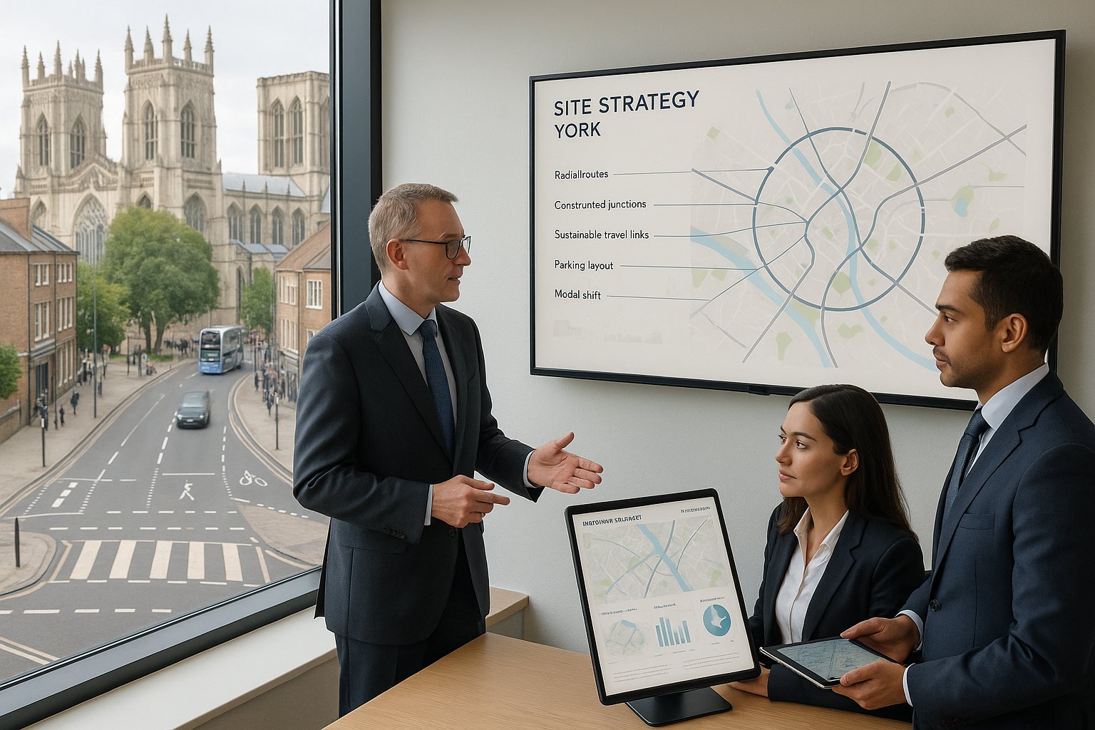
For that reason, we should treat transport evidence as part of site strategy, not as a late compliance exercise. A well-scoped submission can help answer several planning questions at once: whether access is safe, whether impacts are severe, whether parking is appropriate, whether sustainable modes are realistic, and whether mitigation is proportionate.
In York, those questions are tied closely to policy. The city’s transport direction is clear: encourage walking, cycling and bus use: protect the compact historic core from unnecessary traffic growth: and support development that reduces reliance on the private car. That means proposals are judged not only on highway operation, but on how they support modal shift.
This is particularly important for residential-led growth, education uses, healthcare schemes, employment sites and mixed-use regeneration. If a development sits near the inner ring road, a park & ride corridor, or a sensitive city-centre approach, transport planning often becomes one of the main determinants of programme, cost and consentability. Get it right early, and the rest of the planning process tends to move more smoothly.
How York’s Historic Street Network Shapes Transport Strategy
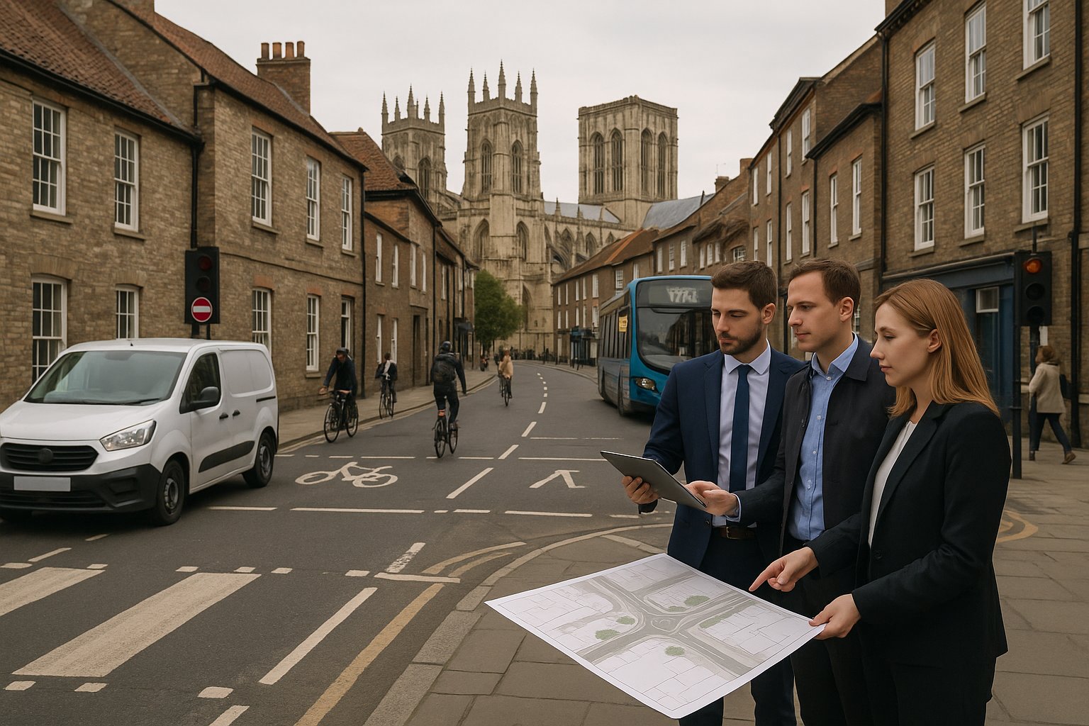
York’s transport strategy cannot be separated from its physical form. The city centre and many surrounding neighbourhoods were not laid out for modern traffic volumes, large service vehicles or generous highway geometry. Narrow carriageways, tight corner radii, limited forward visibility and busy pedestrian environments all affect what can realistically be delivered.
That has two practical consequences. First, development proposals often need to work with constraints rather than try to engineer their way out of them. Second, policy support is generally stronger for measures that reduce car demand than for measures seeking major increases in highway capacity.
In central areas and around the historic core, a transport strategy usually needs to answer some very local questions. Can servicing happen without blocking movement? Will larger vehicles overrun footways or create conflict with cyclists? Does a proposed access sit comfortably in a street with high pedestrian activity? Can parking be restrained because the site is genuinely accessible by non-car modes?
The historic street network also affects distribution assumptions. Traffic does not spread evenly in York. Certain radial corridors and junctions carry disproportionate pressure, and relatively small trip increases can matter where queues, bus reliability or pedestrian crossing conditions are already sensitive.
So, in Transport Planning in York, context is everything. A generic access note or standard suburban parking approach rarely survives detailed review. We need a site-specific strategy that respects the city’s street pattern, heritage setting and wider push toward active and public transport.
Key Planning Policies And Local Transport Considerations In York
A credible transport submission in York starts with policy alignment. We should expect officers to look beyond national guidance and test whether the proposal fits local transport objectives in a meaningful way.
The current direction of travel is shaped by City of York Council’s Local Transport Strategy 2024–2040 and associated implementation priorities, alongside the emerging transport framework being prepared by the York & North Yorkshire Combined Authority in its role as Local Transport Authority. Those documents matter because they influence development management judgements on access, parking restraint, sustainable travel provision and mitigation.
At a practical level, several themes come up repeatedly:
- Reducing car dependency rather than accommodating unlimited traffic growth.
- Prioritising walking, cycling and buses, especially where sites are in or near urban areas with realistic alternatives to private car use.
- Protecting the city centre and historic streets from traffic impacts that would harm amenity, safety or heritage character.
- Supporting strategic growth with transport measures that are proportionate, deliverable and policy-led.
We also need to read site-specific planning context carefully. Local plan allocations, conservation area constraints, parking controls, nearby schools, residents’ parking zones, freight patterns and existing collision records can all change the transport story.
This is where an experienced local authority-facing approach makes a difference. At ML Traffic, for example, the value is often in tailoring reports to local thresholds and decision-making habits rather than relying on off-the-shelf text. In York, that local fit matters. Policy compliance is not just a chapter in the report: it is often the thread that holds the whole case together.
When A Transport Assessment, Transport Statement, Or Travel Plan Is Needed
The question is rarely just whether transport evidence is required. More often, the real issue is what level of evidence is proportionate and what scope the local authority will accept.
In broad terms, a Transport Statement (TS) is usually suitable for smaller schemes with limited transport effects. It should still be evidence-based, but the analysis is generally more concise and focused on access, parking, local sustainability and any obvious operational issues.
A Transport Assessment (TA) is normally required where a proposal is larger, generates materially more trips, affects sensitive junctions or corridors, or raises broader network concerns. In York, that can include schemes near the inner ring road, park & ride corridors, city-centre approaches or constrained urban junctions where existing performance is already under pressure.
A Travel Plan is commonly expected for major residential, education and employment development, and often for other schemes where modal shift is a key policy objective. In York, Travel Plans matter because they show how the development will actively support the city’s sustainable transport agenda rather than simply claim a good location.
There is no universal local threshold that works in every case. National guidance provides a framework, but local judgement is crucial. That is why pre-application discussion is so important. We should agree early whether the submission should be a TS or TA, whether a Travel Plan is needed, what junctions require testing, and what baseline years and assumptions are likely to be accepted.
Typical Development Types That Trigger Transport Evidence In York
Some development categories predictably trigger transport evidence in York, even before formal scoping starts.
Major housing schemes and urban extensions are obvious examples. They generate multi-directional peak-hour travel, can affect school-run patterns, and often need a full package of walking, cycling, bus and highway analysis. The same is true of larger mixed-use allocations and garden village-style proposals, where transport planning is effectively part of the masterplanning process.
Retail and leisure uses can also require detailed work, particularly where linked trips, weekend peaks, servicing demand or town-centre effects are relevant. Employment parks, logistics-related sites, education campuses and healthcare development frequently trigger TAs and Travel Plans because trip characteristics are more complex than simple daily totals suggest.
And then there are the location-led triggers. Even relatively modest schemes may need stronger evidence if they sit on a constrained street, near a controlled parking zone, close to a park & ride corridor, or on routes feeding sensitive junctions. York is one of those places where the context can elevate the transport requirement. A small scheme in the wrong place can raise more concern than a larger one in a genuinely accessible, well-connected location.
That is why we never advise relying on size alone. In York, use type, local network sensitivity and policy context usually tell us far more about likely evidence requirements than gross floorspace or unit count by themselves.
Core Elements Of A Strong Transport Planning Submission
A strong submission in York is clear, proportionate and locally grounded. It does not throw every possible appendix at the problem. Instead, it demonstrates that the development team understands the site, the policy framework and the transport risks that actually matter.
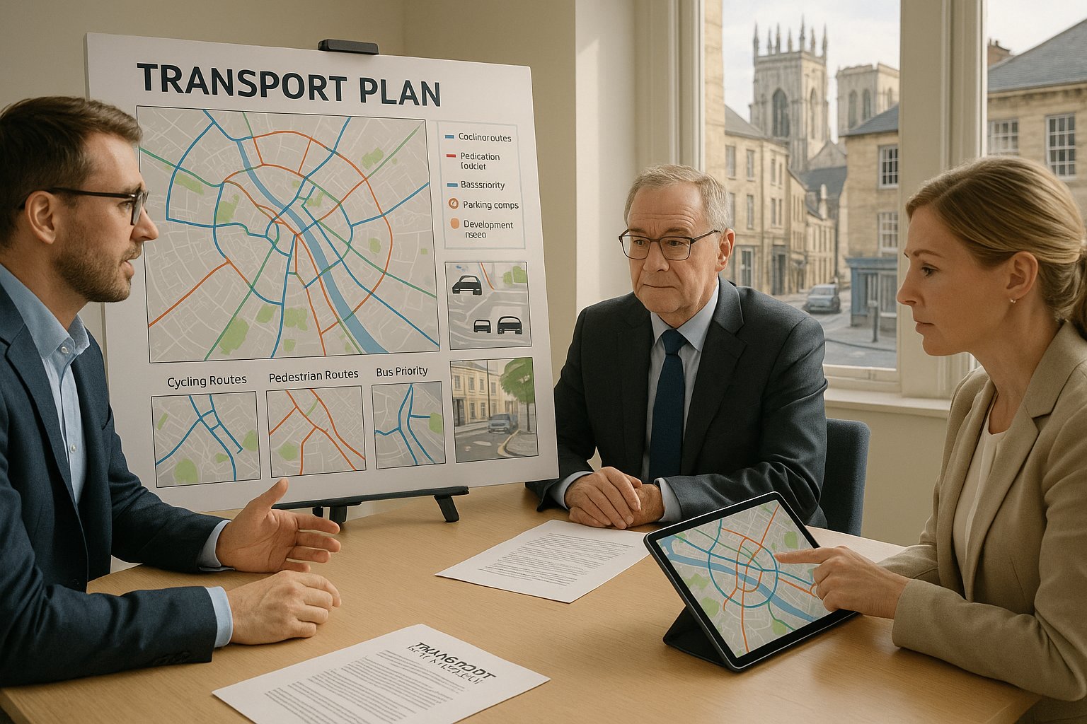
Most robust submissions include a concise policy review, baseline description, multi-modal accessibility analysis, traffic and movement forecasts, parking and servicing strategy, and a reasoned set of mitigation measures where required. The better ones also explain why the chosen methodology is proportionate. That matters because officers are often looking for confidence as much as content.
Baseline evidence should usually include observed traffic conditions, local highway characteristics, sustainable travel opportunities, collision history where relevant, and nearby constraints such as schools, crossings, parking controls or bus reliability issues. In York, we should be especially careful not to describe a route as “suitable” in broad terms without testing the detail. A walk route that looks short on a map may feel poor if crossings are awkward or footways are narrow.
The submission should also connect technical results back to planning outcomes. If parking is restrained, explain why that is realistic. If active travel is central to the strategy, show the links and identify any missing pieces. If junction impacts are limited, set out the assumptions transparently. In short: strong evidence, but also strong judgement.
Trip Generation, Junction Capacity, And Parking Analysis
Trip generation is often where scrutiny begins. We should use recognised data sources such as TRICS, but local sense-checking is just as important in York. Car ownership, mode share, proximity to the rail station, city-centre accessibility, nearby bus services and local parking restraint can all justify carefully reasoned adjustments.
Distribution and assignment also deserve attention. Traffic effects in York are highly corridor-specific, so broad-brush assumptions can quickly unravel. If a site is likely to load onto a constrained radial route or a sensitive inner ring road junction, that needs to be reflected in the study area and testing approach.
For capacity analysis, the emphasis should be on the junctions that genuinely influence decision-making. There is little value in modelling every arm of the network if only a handful of nodes are critical. But where those nodes are already under pressure, the analysis needs to be robust and transparent.
Parking can be even more contentious than traffic generation. In central and historic areas, oversupply may conflict with policy just as much as overspill concerns do. We need to justify the parking strategy against accessibility, local controls, likely demand and sustainable travel measures. Cycle parking should be convenient and secure, not hidden as an afterthought, and EV charging expectations should be addressed clearly. In York, a good parking chapter is never just a table of spaces: it is a planning argument.
Walking, Cycling, Public Transport, And Accessibility Review
This is the part of the report that often separates a merely competent submission from a persuasive one. York’s policy framework places real weight on sustainable travel, so the accessibility review should be more than a map with circles around bus stops.
We need to examine whether walking routes are direct, legible and safe: whether crossings are convenient: whether local centres, schools, health facilities and open space are realistically reachable on foot: and whether the route quality supports the mode share assumptions being advanced.
The same applies to cycling. It is not enough to note that a route exists somewhere nearby. We should assess how people would actually leave the site, join the network and reach common destinations. Are there protected links? Quiet streets? Gaps at key crossings? Difficult junctions that may deter less confident riders? Those details matter, especially in York, where cycling has a significant role in transport policy and everyday travel.
For public transport, proximity is only the starting point. Service frequency, hours of operation, route coverage and reliability all affect whether bus use is likely to be attractive. On larger schemes, there may be a need to consider bus stop improvements, pedestrian links, financial support for services, or bus-priority-friendly layouts.
A credible accessibility review should hence read like a real-world movement assessment, not a template exercise. If it is persuasive, it strengthens almost every other part of the transport case.
Common Transport Planning Issues On York Development Sites
Certain issues recur across York projects, regardless of use class. Recognising them early saves time.
One common problem is assuming a site can function like a standard urban plot when the surrounding street network plainly says otherwise. Narrow accesses, on-street parking pressure, frequent pedestrian crossing activity, nearby schools, bus movement constraints and limited turning space all change what is feasible.
Another is underestimating the planning weight given to sustainable movement. A scheme may appear acceptable in pure highway-capacity terms, yet still face challenge if it provides weak walking links, token cycle facilities or a parking-heavy strategy that conflicts with local objectives.
Parking displacement is another familiar flashpoint, particularly near residents’ parking zones, controlled parking areas and mixed-use neighbourhoods. Even where traffic generation is modest, local concern about overspill can shape consultation responses and committee debate.
Then there is servicing. In York, this can become a bigger issue than general traffic, especially on constrained streets or near heritage assets. Refuse collection, deliveries, moving vans and emergency access all need practical testing.
The best way to handle these issues is to identify them before the application is fixed. That means site visits, realistic vehicle tracking, early policy review and open discussion with the design team. By the time objections arrive, it is usually too late to discover the layout was never workable.
City Centre Constraints, Heritage Sensitivity, And Network Capacity
The closer a development sits to York’s centre, the more exacting the transport conversation tends to become. That is partly about traffic, but not only traffic. It is also about character, streetscape, servicing practicality and the cumulative effect of small changes in a tightly constrained environment.
Within and around the historic core, increased vehicle activity can raise concerns about pedestrian comfort, bus reliability, air quality, noise, safety and the setting of heritage assets. Even relatively minor alterations to access arrangements, kerb lines, signs or street furniture may require careful justification where they affect conservation interests.
Network capacity is also a live issue. York’s approach to transport improvement does not generally revolve around building major new road capacity in central areas. The policy direction instead favours bus priority, active travel improvements, demand management and smarter use of limited road space. That means mitigation proposals focused solely on accommodating more cars may receive a cool reception.
For development teams, the implication is clear: in city-centre locations, we need to frame transport strategy around minimising impact and maximising sustainable access. Sometimes that means tighter parking restraint. Sometimes it means off-site walking improvements, delivery management, or a stronger Travel Plan. And sometimes it simply means being honest that the design must adapt to the street, not the other way round.
Servicing, Refuse Collection, And Safe Site Access Design
Servicing is one of the easiest issues to overlook and one of the fastest ways to trigger objections. In York, where many streets are narrow and pedestrian activity is high, a theoretically acceptable service arrangement can fail in practice if it blocks movement, creates reversing conflict or depends on unrealistic driver behaviour.
We should demonstrate swept paths for the vehicles that will actually use the site, not just the ones that are convenient to draw. That typically includes refuse vehicles, delivery vans, occasional larger service vehicles and, where relevant, emergency access requirements. The questions are practical: Can the vehicle enter and leave safely? Does it overrun footways? Does it force pedestrians or cyclists into conflict? Is waiting space available without obstructing the highway?
For some central or heritage-sensitive sites, time-restricted deliveries or off-street service yards may be the only sensible answer. In other cases, the right solution is to reduce vehicle size expectations or redesign the layout before the application is submitted.
Safe access design also needs attention to visibility, gradients, pedestrian priority and cycle safety. A technically compliant access is not always a good access if it sits in a place with heavy footfall or poor driver intervisibility. In short, access and servicing design should be tested against real street conditions, because in York, those conditions are often the whole story.
How To Improve The Chances Of A Smooth Planning Process
If we want a smoother route through planning, the single best step is to start transport work early enough to influence the scheme. That sounds obvious, but many projects still bring in transport input after the layout, parking numbers and servicing assumptions are effectively fixed.
Early engagement with City of York Council and, where relevant, Combined Authority transport officers can make a real difference. Pre-application discussion helps us agree the form of submission, likely study area, junctions to assess, suitable trip-rate approaches, parking expectations and whether a Travel Plan or specific mitigation package will be needed.
It also helps to align the narrative of the scheme with York’s policy priorities from day one. If the proposal is presented as supporting reduced car dependency, stronger bus use and better walking and cycling links, the design needs to back that up visibly. That may mean better cycle parking, stronger pedestrian connections, fewer parking spaces, clearer servicing controls or funded off-site measures.
The quality of the report itself matters too. Decision-makers respond better to submissions that are concise, evidence-led and specific to the site. Generic wording, borrowed diagrams and unexplained assumptions create friction. A proportionate, locally tailored report tends to build trust.
That is the real goal: not just technical compliance, but confidence that the development team understands York and has planned accordingly.
Conclusion
Successful Transport Planning in York is rarely about one document in isolation. It is the combined effect of good scoping, realistic technical analysis, policy alignment and design decisions that respect a compact, historic and capacity-constrained city.
For developers and planning teams in 2026, the message is fairly simple. We need to show more than safe access and tolerable traffic impact. We need to demonstrate that a scheme supports York’s wider transport direction: walking, cycling, public transport, parking restraint where appropriate, and careful management of servicing and street-level conflict.
The strongest applications usually do three things well. They engage early, they test the real local issues rather than generic ones, and they present a transport strategy that feels credible in York rather than merely acceptable on paper.
That approach reduces planning risk. More importantly, it produces development that fits the city better. And in York, that is often what turns a difficult application into a consentable one.
Transport Planning in York: Frequently Asked Questions
Why is transport planning particularly important for development projects in York?
Transport planning in York is crucial because the city’s historic street layout and limited network capacity mean poor transport decisions can cause severe impacts. Developments must support sustainable travel modes and protect the historic centre, making transport a key planning consideration beyond just car trip forecasts.
When is a Transport Assessment or Travel Plan typically required for developments in York?
A Transport Assessment is usually needed for larger developments generating significant trips or affecting sensitive junctions, while a Transport Statement suits smaller schemes with limited traffic impact. Travel Plans are expected for major residential, education, and employment schemes to support modal shift, with thresholds agreed at pre-application stage.
How does York’s medieval street pattern influence transport planning strategies?
York’s historic, narrow streets and constrained junctions limit road capacity, vehicle size, and servicing options. This leads to policies prioritising walking, cycling, bus use, and traffic restraint, requiring development proposals to work within these physical constraints rather than seeking major highway expansions.
What elements should a strong transport planning submission for York include?
A robust submission combines a local policy review, baseline traffic and travel data, trip generation and junction capacity analysis, parking and servicing strategy, and a thorough accessibility audit covering walking, cycling, and public transport. It often includes a Travel Plan with measurable targets and monitoring.
How can developers improve the chances of a smooth planning process for transport in York?
Early engagement with City of York Council and Combined Authority transport officers is vital to agree scope, trip rates, study areas, and mitigation. Proposals should clearly support York’s Local Transport Strategy priorities, providing credible sustainable travel measures and proportionate, site-specific evidence rather than generic reports.
What challenges do servicing and refuse collection present in York’s historic areas?
Narrow streets and high pedestrian activity require careful swept path analysis for servicing vehicles to avoid blocking movement or causing conflicts. Time-restricted deliveries or off-street yards may be necessary, especially near heritage assets, ensuring safe access design that addresses visibility and vulnerable road user protection.