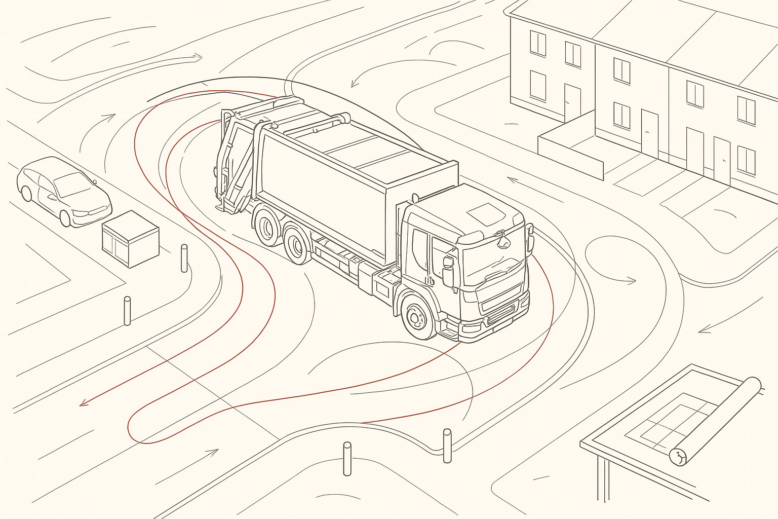
A planning layout can look tidy on paper and still fail the moment a real refuse truck tries to use it. That’s the awkward bit many teams discover too late, after comments from highways, waste officers, or a frustrated case officer asking how bins will actually be collected.
That is exactly where refuse vehicle swept path analysis comes in. In simple terms, it proves whether a refuse vehicle can enter a site, reach the collection point, turn if needed, and leave safely without clipping kerbs, mounting footways, striking walls, or relying on unrealistic manoeuvres. For architects, planners, developers and councils, it has become one of the most practical pieces of technical evidence in the planning process.
In 2026, local authorities across the UK still expect more than a broad assurance that “service access works”. They usually want drawings, vehicle tracking, and a clear demonstration that the proposed geometry aligns with refuse collection practice and local standards. And where it doesn’t, they want to see how the design has been adjusted.
We work with these issues regularly in transport planning, and the pattern is familiar: the best schemes address refuse access early: the painful ones leave it until objections arrive. This guide explains what refuse vehicle swept path analysis is, when it is needed, how the right vehicle is chosen, the site constraints that matter most, and what planning authorities typically expect to see in a robust submission.
What Refuse Vehicle Swept Path Analysis Is And Why It Matters In Planning
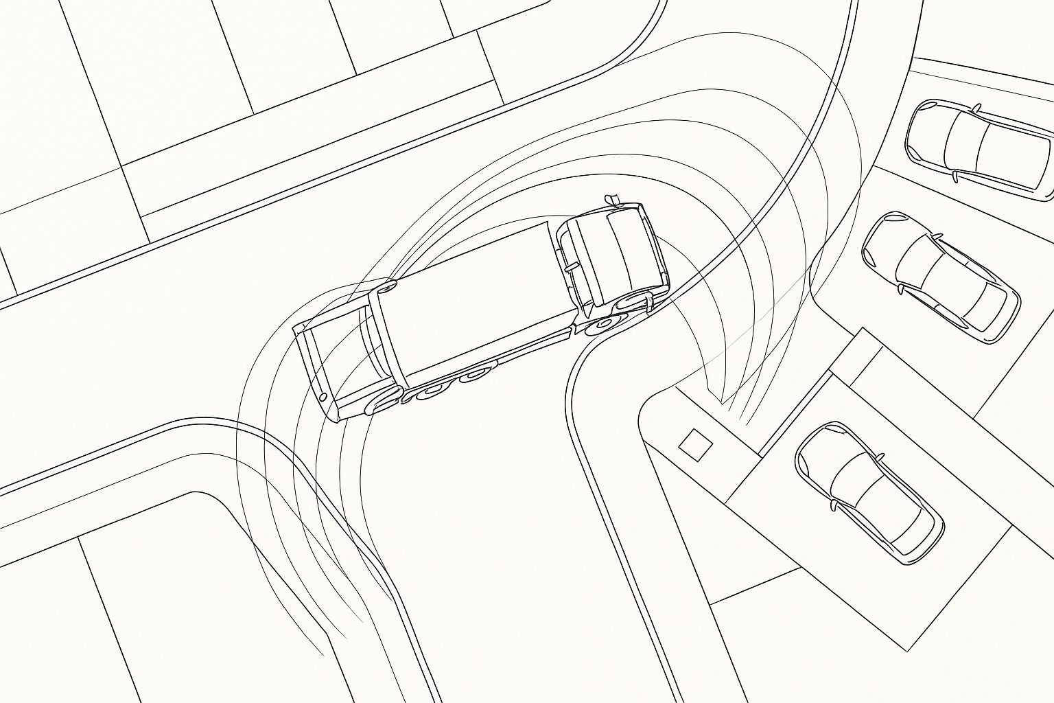
Refuse vehicle swept path analysis is the technical assessment of how a waste collection vehicle physically moves through a proposed layout. It tests the real turning behaviour of the vehicle, front wheel path, rear wheel path, body overhang, rear swing and mirror envelope, against the site geometry.
That sounds straightforward, but it answers several planning-critical questions at once. Can the truck get to the bin collection point? Can it turn within the site or approved turning area? Can it leave in forward gear where required? And can all of that happen without overrunning kerbs, footways, verges, landscaping or private plots?
Those questions matter because refuse access is not just an operational detail. It sits at the intersection of highway safety, waste collection policy, site design and deliverability. If a truck has to reverse too far, swing across opposing lanes, or use pedestrian space as overrun, the issue quickly becomes a planning objection rather than a minor layout tweak.
For many schemes, swept path analysis also prevents expensive redesign later. A residential street might appear wide enough until parked cars are considered. A turning head may look compliant until the actual vehicle’s rear swing is modelled. A bin store can be perfectly located for residents and completely awkward for collection crews.
In other words, this analysis turns assumption into evidence. That’s why local planning authorities, highway officers and waste teams rely on it so heavily.
When A Swept Path Assessment Is Needed For Refuse Vehicle Access
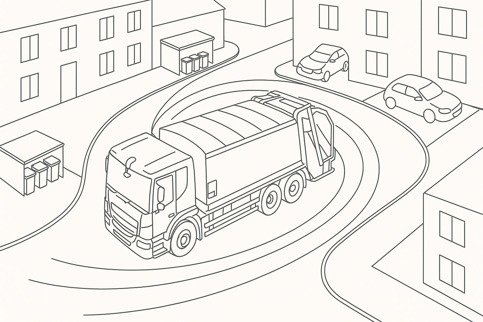
A swept path assessment is normally needed whenever a large service vehicle will regularly use a new or altered access arrangement. In practice, that often means an 11.2 m to 11.4 m refuse vehicle on residential or mixed-use schemes, though some councils use different fleet types.
The trigger is rarely the size of the planning application alone. It is the relationship between vehicle size and layout geometry. If a refuse truck must enter a private road, a communal bin court, a service yard, a basement ramp interface, a cul-de-sac, or any constrained turning area, a tracking exercise is usually the sensible, and often necessary, next step.
We also see it requested where designers are pursuing tighter urban forms. Narrow carriageways, home-zone style layouts, parking courts and infill sites can all work, but only if the refuse route has been tested properly. The same applies where waste collection relies on internal circulation rather than kerbside pickup from the public highway.
Planning officers increasingly expect this evidence early, especially where the access strategy is not obvious from standard dimensions alone. And if refuse access has implications for emergency access, servicing, or road adoption discussions, the need becomes even stronger.
A decent rule of thumb: if someone reviewing the drawings could reasonably ask, “How does the bin lorry get in and out?”, it is time to track it.
Typical Planning Scenarios That Trigger The Requirement
Common scenarios include new residential streets, private drives serving multiple dwellings, apartment developments with communal bin stores, and mixed-use schemes where servicing and waste collection share space.
Cul-de-sacs are a classic example. If the refuse vehicle cannot turn within the head, the whole arrangement may fail unless an alternative collection strategy is agreed. Likewise, mews courts and tight urban infill plots often need tracking because building lines, parking pressure and narrow access points reduce tolerance.
Commercial and retail schemes also trigger the requirement, particularly where refuse trucks enter service yards used by delivery vehicles or where customer circulation creates conflict risk. Business parks, supermarkets and care facilities frequently fall into this category.
Another common trigger is any proposal that depends on a truck entering private land rather than collecting from the adopted highway. Once that happens, authorities usually want proof that the manoeuvre is safe, repeatable and realistic under everyday operating conditions, not just on an empty CAD drawing.
How Refuse Collection Standards And Tracking Vehicles Are Chosen
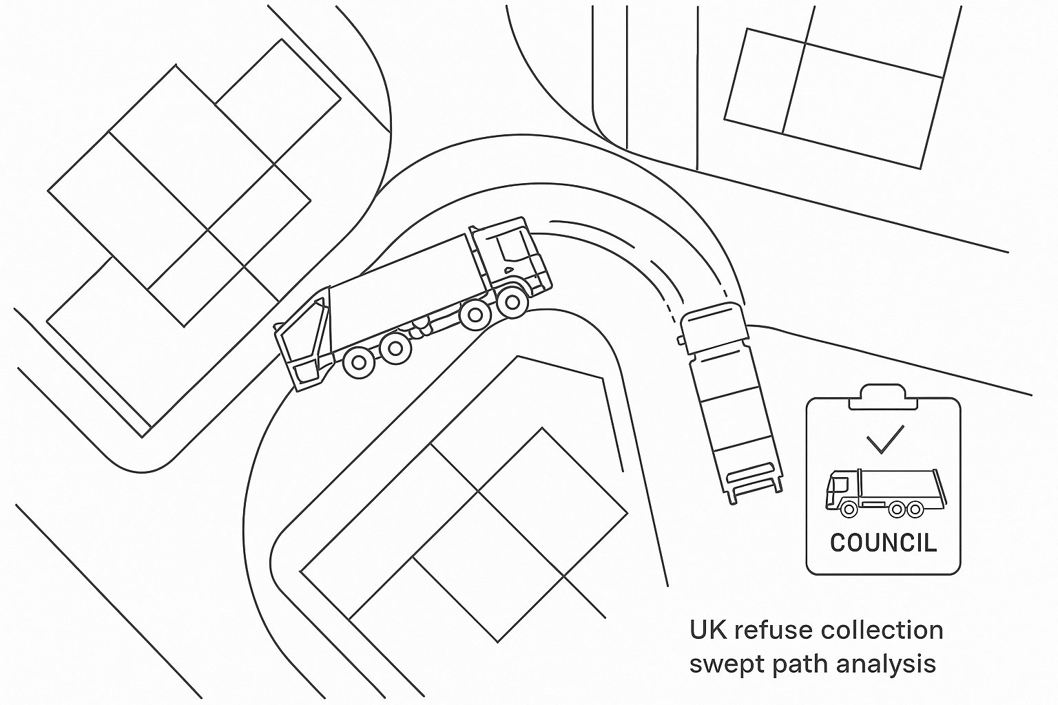
The quality of a swept path assessment depends heavily on choosing the right design vehicle. Get that wrong and even a beautifully presented drawing can unravel at validation or consultation stage.
In many UK authorities, the starting point is a generic refuse collection vehicle of around 11.2 m to 11.4 m in length. That benchmark appears in guidance because it broadly reflects the kind of vehicle commonly used for residential collection routes. But “common” is not the same as universal.
Some councils specify their own fleet vehicles, including exact three-axle RCV models with known wheelbase, overhang and turning characteristics. Others operate shorter vehicles in constrained urban areas or larger vehicles in suburban and rural collections. Where that local information exists, it usually takes priority over a generic template.
Vehicle tracking software must then be set up with reliable dimensions and steering data, overall length, width, axle spacing, front overhang, rear overhang and lock angle. The output is only as credible as the inputs.
There is another layer too: refuse isn’t always the only vehicle that matters. Depending on the site, we may also need to consider fire appliances, delivery vehicles, pantechnicons or servicing HGVs. A layout that works for one vehicle but fails for another may still attract objection.
The practical lesson is simple: choose the vehicle based on local standards, actual collection practice and the site’s operational needs, not convenience.
Standard Refuse Trucks Versus Site-Specific Council Vehicles
Using a standard refuse truck can be perfectly acceptable where local guidance endorses it. It gives a consistent benchmark and is often enough for straightforward residential layouts.
But there are plenty of cases where a site-specific council vehicle is the safer choice. If the local waste team has confirmed the model they use in that district, reviewers will usually expect that vehicle to be tracked. If the authority’s fleet is larger than the generic standard, modelling a smaller truck can create an artificially optimistic result, and that tends to be spotted quickly.
On constrained schemes, the opposite can also happen. Some boroughs use shorter refuse vehicles precisely because their street network is tighter. In those cases, insisting on a generic larger vehicle may be unnecessarily conservative unless local policy says otherwise.
This is why early liaison matters. A quick check with the waste team or local standards can save rounds of redesign later. And in our experience, showing that the tracking vehicle has been chosen with reference to actual council practice gives planning submissions much more weight.
The Key Site Constraints That Affect Refuse Vehicle Manoeuvrability
Refuse vehicle access rarely fails because of one dramatic flaw. More often, it is a combination of small geometric constraints that make the route unrealistic once the vehicle is tracked properly.
The obvious constraints are building lines, boundary walls, kerb geometry and carriageway width. But plenty of less obvious factors matter just as much. On-street parking can remove the working width a drawing seemed to offer. A bin store may be technically reachable but positioned so close to a wall that mirror clearance disappears. A simple internal bend can become a problem because rear overhang cuts across landscaping or private frontage.
Street furniture is another culprit, signs, lighting columns, bollards, trees, cycle stands, even gate posts. These are easy to ignore in concept design and maddeningly important in detailed vehicle tracking.
Then there are vertical considerations. Gradients, crossfalls and ramp transitions affect how comfortably large refuse vehicles can operate, especially where ground clearance or traction become issues. The same route that works in plan may be awkward in reality if it is too steep or uneven.
Finally, layout character matters. Shared surfaces, pedestrian-priority spaces and tight urban design-led schemes can all be successful, but they give less room for error. That means vehicle movements need to be tested with more care, not less.
Access Widths, Turning Heads, Gradients, And Overrun Areas
Access widths are fundamental because refuse vehicles do not move through idealised empty corridors. They need enough width for the body, mirrors and turning sweep, and in many cases enough room to pass parked or opposing vehicles safely.
Turning heads are equally important. A turning area that appears generous can still fail if the geometry forces the rear wheels over the kerb or requires an unrealistic shunt. In residential cul-de-sacs, the turning head often determines whether the whole waste strategy is acceptable.
Gradients deserve more attention than they sometimes get. A steep or awkwardly crowned access road may affect stopping, reversing control and comfort for the vehicle crew. Where levels are challenging, the drawing should not rely on plan geometry alone.
And then there is overrun. Mountable strips or hard margins can occasionally be part of a deliberate design solution, but authorities are often cautious about treating them as routine running surface. Overuse of overrun space can blur pedestrian priorities, create maintenance issues and undermine the claim that the route genuinely works. If overrun is proposed, it needs to be intentional, clearly designed and likely to be accepted, not quietly assumed.
How A Refuse Vehicle Swept Path Analysis Is Carried Out
A robust swept path assessment starts with an accurate base drawing. Usually that means a current topographical survey or a carefully verified drawing package showing kerbs, walls, parking, levels, structures, planting and any fixed street furniture that could affect movement.
We then select the correct vehicle model, generic standard or council-specific, and build the key manoeuvres in specialist tracking software, often within AutoCAD-based workflows. The vehicle is not simply dragged around until it “fits”. The route has to reflect a plausible driver path, realistic turning behaviour and site conditions that would exist once the scheme is built.
The assessment usually tests the full sequence: entry from the public highway, internal circulation, approach to the collection point, turning manoeuvre where required, and exit from the site. If reversing forms part of the agreed strategy, that movement must be shown clearly and kept within acceptable limits.
The output is reviewed against the swept envelope of the vehicle body and mirrors. We check whether the path stays within the carriageway or designated tracking area, and whether there is conflict with kerbs, footways, parked vehicles, walls, landscaping or structures.
Rarely is it one-and-done. Good swept path analysis is iterative. We test, identify pinch points, adjust geometry, and test again until the arrangement is both operationally realistic and planning-ready. That iteration is where most of the design value sits.
Common Design Problems Revealed By Vehicle Tracking
Vehicle tracking has a habit of exposing the things a standard layout review glosses over. And usually, the trouble appears at the exact spots you would expect a real driver to mutter under their breath.
One common issue is a vehicle needing to swing onto the wrong side of the carriageway to make a turn. That may be acceptable in some internal low-speed situations, but it becomes problematic at access junctions or where visibility is constrained.
Another frequent problem is overrun of footways, verges or private land. This often shows up at internal bends, around parking courts or close to bin stores, where designers have squeezed geometry to maximise developable area. On a drawing, the encroachment can look minor. In planning terms, it can be fatal.
Insufficient turning space at the end of a route is also common. A cul-de-sac may require a three-point manoeuvre rather than a single turn, or the available head may simply not let the vehicle realign cleanly. If that creates excessive reversing, waste officers tend to push back.
Parking conflict is another big one. A layout might technically work when every bay is empty, but real streets are not empty. If parked cars narrow the path at a key bend or opposite a junction, the tracking needs to reflect that reality.
Then there is mirror and rear swing clearance, small on paper, expensive in brickwork.
Practical Design Changes That Can Resolve Access Issues
The good news is that most refuse access problems are solvable without redesigning an entire scheme. The trick is knowing which adjustment will actually change the manoeuvre rather than simply move the problem a few metres down the road.
Sometimes the answer is basic geometry: widening the carriageway slightly at a critical bend, increasing an internal radius, or easing the alignment of a junction bellmouth. Small gains in the right place can make a disproportionate difference to rear wheel tracking and body swing.
In other cases, the turning head is the real issue. Enlarging it, reshaping it, or relocating parking spaces that interfere with the manoeuvre can unlock a layout quickly. We often find that one awkward bay in the wrong place causes more trouble than an entire block of built form.
Bin store position can also be decisive. Moving the collection point closer to the carriageway, altering where the truck stops, or changing the direction of approach can reduce the need for complicated internal manoeuvres. On some schemes, a one-way arrangement works well because it removes conflicting vehicle paths and simplifies turning.
None of these changes should be made in isolation. The right design response balances waste collection, highway safety, urban design, tracking evidence and operational realism. That is why early transport input usually saves both time and planning pain.
How Swept Path Drawings Support Transport Statements And Planning Applications
In planning, a good swept path drawing does more than illustrate a vehicle movement. It provides evidence. That matters because officers and consultees are not being asked to trust a design team’s intuition: they are being shown, visually and technically, that the refuse strategy works.
These drawings are commonly appended to Transport Statements, Transport Assessments and sometimes Design and Access Statements. They help answer practical consultation points before they become formal objections: can the refuse vehicle enter and leave safely, is turning provided on site, does it avoid unsafe reversing, and have local collection requirements been considered?
They are especially useful where the scheme departs from standardised geometry. Tight urban developments, infill projects and design-led layouts often cannot rely on rule-of-thumb dimensions alone. A well-prepared swept path analysis can justify a compact arrangement by showing that, even though appearances, the operational vehicle movements are still acceptable.
From a report-writing perspective, this is where concise technical explanation matters. On projects we prepare for planning submissions, the strongest results usually come from joining the drawing to the narrative: explain the vehicle chosen, the route tested, the assumptions made, and what the results demonstrate. That combination tends to land far better with reviewing officers than a standalone plan dropped into an appendix with no context.
What Local Planning Authorities And Waste Teams Usually Expect To See
Most local planning authorities and waste teams are not looking for theatrical graphics. They want clear, checkable evidence.
Typically, that means a legible 2D drawing at an appropriate scale showing the site layout, kerb lines, road widths, parking arrangements and the full swept path envelope of the relevant refuse vehicle. Direction arrows, start and finish positions, and the key manoeuvres, entry, circulation, turning and exit, should be obvious without guesswork.
Authorities also tend to expect confirmation that the correct vehicle has been used. If the council has a known fleet vehicle for the area, that should usually be referenced. If a standard design vehicle has been adopted, the basis for that choice should be clear.
Where a policy expectation exists that refuse vehicles should enter and leave in forward gear, the drawing needs to demonstrate exactly that. If reversing is proposed, it must be limited, justified and consistent with local practice. Reviewers will also look for obvious conflicts with footways, private frontage, structures, trees, visibility splays and parked cars.
Supporting annotation helps. Notes on carriageway widths, junction radii, gradients or operational assumptions can make a drawing much easier to review. The best submissions are transparent: they show the movement honestly, explain the design vehicle, and do not require the case officer to decipher what is going on.
Common Mistakes That Delay Approval Or Lead To Objections
The most common mistake is tracking the wrong vehicle. If the drawing uses a smaller refuse truck than the one the council actually operates, the whole exercise can lose credibility immediately. It sounds obvious, yet it happens often.
Another regular problem is incomplete tracking. We still see plans that show entry but not exit, or that test a vehicle on the easy part of the route while skipping the tightest bend, the parking pinch point or the turning head where the real challenge sits. Reviewers notice.
Optimistic assumptions about parking are another classic. If a route only works when no one parks opposite the junction, beside the bin store or along the internal bend, then in practice it probably does not work. Drawings need to reflect realistic conditions.
There are also technical presentation issues. Omitting mirrors, ignoring rear swing, using poor scale, or crowding the drawing with illegible annotations can all weaken the submission. Even where the layout is acceptable, bad presentation makes it harder for officers to sign it off with confidence.
And perhaps the most expensive mistake of all is timing. Leaving refuse vehicle swept path analysis until after a layout has hardened usually means the eventual fix is more disruptive. A modest tracking exercise early in design can prevent a much messier argument later.
For teams preparing planning applications in 2026, that is really the point. Refuse access should not be treated as a late-stage compliance chore. When assessed properly, it becomes a practical design tool, one that helps prove deliverability, supports transport evidence, and gives planning authorities confidence that the scheme will work in the real world. That is exactly why robust, locally informed swept path analysis remains such a standard part of effective planning submissions.
Frequently Asked Questions About Refuse Vehicle Swept Path Analysis
What is refuse vehicle swept path analysis and why is it important in planning?
Refuse vehicle swept path analysis assesses how a refuse truck moves within a proposed layout, ensuring it can enter, collect waste, turn safely, and exit without damaging kerbs or structures. It’s crucial for highway safety, operational efficiency, and avoids costly redesigns in planning applications.
When is a swept path assessment required for refuse vehicle access?
A swept path assessment is required whenever large service vehicles, typically 11.2–11.4 m refuse trucks, will regularly use new or altered access roads, such as residential streets, cul-de-sacs, communal bin courts, or private service yards, to prove the vehicle’s manoeuvrability.
How is the appropriate refuse vehicle chosen for swept path analysis?
The vehicle is chosen based on local authority standards and actual council fleet data. Generally, a standard 11.2–11.4 m refuse truck is used unless the council operates site-specific vehicles, which should then be modelled to reflect true operational conditions accurately.
What site constraints most commonly affect refuse vehicle manoeuvrability?
Key constraints include building lines, boundary walls, on-street parking narrowing carriageways, junction radii, gradients, crossfalls, bin store positioning, and street furniture like signs or bollards, all of which can limit safe turning and access for refuse trucks.
How does refuse vehicle swept path analysis support planning applications?
Swept path drawings provide visual, evidence-based proof that refuse and other service vehicles can safely access and manoeuvre within the development. They are included in Transport Statements or Assessments to address authority concerns and justify non-standard designs.
What common mistakes delay approval of refuse vehicle swept path assessments?
Typical mistakes include using an incorrect vehicle size, incomplete tracking of vehicle movements, ignoring realistic on-street parking, allowing unsafe overruns of footways or private land, omitting mirrors from swept paths, and submitting poorly scaled or annotated drawings that are hard to review.