As cities grapple with congestion, air quality targets and the growing complexity of development proposals, intelligent transportation systems have moved from the margins to the mainstream. For architects, planners and developers preparing planning applications, understanding how ITS can inform transport assessments, and satisfy local authority requirements, is no longer optional. These technologies are reshaping how we manage traffic, measure impact and design mitigation. Whether you’re submitting a Transport Statement for a modest scheme or a full Transport Assessment for a major mixed-use development, ITS offers the data, tools and infrastructure to demonstrate compliance, reduce risk and unlock consent.
Key Takeaways
- Intelligent transportation systems have become essential for planners and developers preparing planning applications, helping demonstrate compliance and unlock consent for new schemes.
- ITS technologies—including ANPR cameras, adaptive signal controllers and real-time information systems—enable cities to reduce congestion by 10–15 per cent at existing junctions without costly road widening.
- Integration of ITS-derived data into Transport Assessments demonstrates rigour and aligns with local authority evidence bases far better than outdated manual traffic counts.
- Local authorities increasingly expect developers to fund or deliver digital ITS interventions such as adaptive signals, bus priority measures and parking guidance systems as part of planning obligations.
- Connected and automated mobility, AI-driven traffic prediction and Mobility as a Service platforms will reshape how developments are assessed and designed over the next decade.
- Early engagement with local authority ITS teams and clear understanding of data governance, maintenance costs and technical standards are critical to avoiding delays, design rework and post-consent surprises.
What Are Intelligent Transportation Systems?
Intelligent Transportation Systems (ITS) are advanced applications that use information and communication technologies to improve the efficiency, safety and sustainability of transport networks. They span roads, public transport, freight and multi-modal travel, pulling together real-time data, automated control and user information to manage movement more intelligently.
Unlike traditional fixed-time signals or manual traffic management, ITS responds dynamically to conditions on the ground, adjusting signal timings during peak hours, rerouting vehicles around incidents, or informing passengers of delays before they leave home. The UK’s approach, aligned with European frameworks, emphasises interoperability, open data and integration across modes.
For practitioners in the built environment, ITS isn’t an abstract concept. It’s the ANPR camera capturing queue lengths on a development access road, the adaptive signal controller that can prioritise buses serving your site, and the journey-planning app that residents will use to decide whether to drive or take the train. It’s infrastructure, digital and physical, that local planning authorities increasingly expect developers to acknowledge, integrate and sometimes fund as part of planning obligations.
Core Technologies Driving Intelligent Transport Systems
Four layers of technology underpin modern ITS, each playing a distinct role in capturing, transmitting and acting on transport data.
Sensing and detection sits at the foundation. Inductive loops embedded in carriageways count axles and measure speed: radar and LiDAR provide non-intrusive vehicle classification: CCTV and automatic number plate recognition (ANPR) monitor junctions and enforce bus lanes. Weather sensors and pavement condition monitors feed into winter maintenance and surface management. These devices generate the raw intelligence that makes adaptive control possible.
Communications infrastructure moves that data to where it’s needed. Fibre-optic links connect roadside equipment to traffic management centres: 4G and 5G support mobile apps and connected vehicle services: dedicated short-range communications (DSRC) and cellular V2X (C-V2X) enable vehicles to talk to each other and to roadside units, laying the groundwork for cooperative intelligent transport systems.
Data and control systems turn information into action. Traffic management centres run decision-support software, AI and machine learning models that predict congestion, optimise signal plans and detect incidents in real time. These systems inform operators and, increasingly, act autonomously to adjust network settings.
User-facing systems close the loop. Real-time passenger information screens, journey-planning apps, smart ticketing and contactless payment make the network legible and accessible, encouraging modal shift and reducing reliance on the private car, outcomes that most local authorities now expect development proposals to support.
Benefits for Urban Planning and Development Projects
ITS delivers measurable improvements in the three pillars that shape local transport policy: efficiency, safety and sustainability.
Reduced congestion and improved capacity are perhaps the most visible benefits. Adaptive signal control can squeeze 10–15 per cent more throughput from existing junctions without widening a single carriageway. Queue management and ramp metering smooth flow on strategic corridors. For development schemes on constrained urban sites, that incremental capacity can mean the difference between a refusal on highway grounds and a recommended approval.
Improved road safety follows from better enforcement, quicker incident response and real-time speed management. Average-speed cameras and variable message signs reduce collisions on key routes: automatic incident detection cuts emergency-service response times. When highway authorities review a Transport Assessment, evidence that a scheme integrates or enables ITS measures, such as upgrading a signal controller to MOVA (Microprocessor Optimised Vehicle Actuation) or installing pedestrian countdown timers, can strengthen the safety case.
Lower emissions and Net Zero alignment are increasingly central to planning decisions. Smoother traffic flow reduces stop-start driving and particulate emissions: real-time information encourages public transport use: integrated ticketing lowers the friction of modal shift. Many local plans now require developers to demonstrate carbon reduction, and ITS-enabled travel demand management is one of the few levers available at the site scale.
Better accessibility and inclusiveness round out the picture. Real-time audio-visual information aids passengers with sensory impairments: journey-planning apps support those unfamiliar with local services. For mixed-use schemes aiming to reduce car dependency, accessible, legible transport information isn’t a luxury, it’s infrastructure.
ITS Applications in Transport Assessments and Planning Applications
Transport Assessments and Statements must now engage with ITS at several levels: as existing baseline infrastructure, as a source of robust data, and as part of proposed mitigation.
Many highway authorities use traffic modelling fed by real-time ITS data, loop counts, ANPR journey times, bus AVL (automatic vehicle location), to validate development impact forecasts. A TA that draws on these datasets, rather than outdated manual counts, demonstrates rigour and aligns with the authority’s own evidence base. Firms such as ML Traffic, with over 30 years of experience in transport engineering, routinely integrate ITS-derived data into assessments tailored to local authority thresholds and planning contexts.
Mitigation measures increasingly involve ITS. Rather than (or alongside) geometric improvements, developers may be asked to fund or deliver:
- Adaptive signal controllers at site access junctions to manage increased turning movements.
- Bus priority measures, queue relocation, signal pre-emption, where the scheme depends on sustainable travel.
- Real-time travel information kiosks or digital boards within the development to support modal shift.
- Parking guidance systems that reduce circulating traffic and improve air quality in town centres.
Section 106 agreements and planning conditions now routinely reference these digital interventions. Developers who understand the technology, and its cost, can negotiate more effectively and avoid post-consent surprises.
Finally, monitoring and evaluation of travel plans often relies on ITS. Automatic counters track cycle and pedestrian movements: ANPR surveys measure car-sharing uptake: app-based surveys capture mode choice. Demonstrating compliance with trip caps or modal-share targets is simpler, cheaper and more credible when the infrastructure is already in place.
Implementation Challenges and Local Authority Considerations
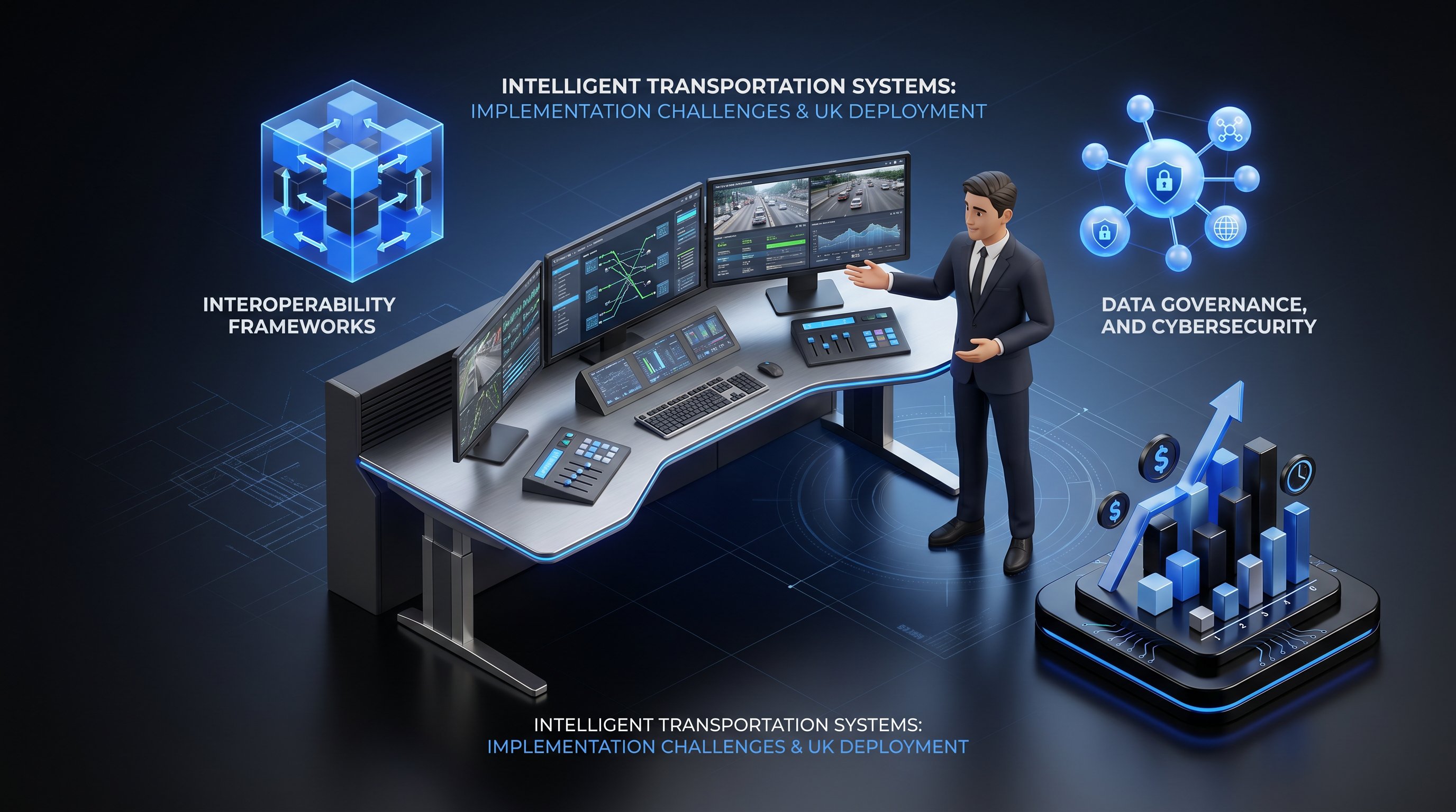
Even though clear benefits, ITS deployment faces practical and institutional obstacles that planners and developers must navigate.
Funding and whole-life costs top the list. Capital grants may cover initial installation, but maintenance, software licences and periodic hardware replacement require revenue budgets that many councils struggle to commit. A developer contribution for a new signal controller is welcome, but the authority must also resource its operation for decades.
Interoperability and standards compliance matter, especially where equipment must integrate with existing urban traffic control (UTC) systems or regional data hubs. The UK follows European ITS Directive frameworks and national Technical Approval schemes: specifying non-compliant kit risks orphaned assets that can’t be upgraded or networked.
Data governance, cyber security and privacy are rising concerns. ITS generates vast streams of personal and commercially sensitive data, journey patterns, vehicle identities, payment records. GDPR compliance, secure communications and resilience against cyber-attack require skills and protocols that many smaller authorities are still developing.
Institutional capacity and procurement models can be a bottleneck. Designing, procuring and managing digital infrastructure demands multi-disciplinary teams, transport planners, IT specialists, data scientists, that few councils retain in-house. Outsourcing introduces contract-management overhead and potential lock-in to vendors.
For developers, the implication is clear: early engagement with the local authority’s ITS team (where one exists) and highway officers is essential. Understanding what infrastructure is planned, what standards apply and who will maintain it avoids abortive design work and smooths the path to consent.
Future Trends in Intelligent Transportation Systems
Three waves of innovation are poised to redefine ITS over the next decade, each with implications for how we plan, assess and deliver development.
Connected and automated mobility is moving from trial to deployment. Cooperative ITS (C-ITS) allows vehicles to exchange safety and efficiency messages with infrastructure and each other: dedicated AV-ready corridors with enhanced lane markings, 5G coverage and digital maps are already being piloted. For large mixed-use or employment sites, designing roads and junctions to C-ITS standards, even if not immediately activated, future-proofs the scheme and may unlock additional capacity assumptions in traffic modelling.
Artificial intelligence, digital twins and predictive analytics are transforming traffic management. Rather than reacting to congestion, AI models predict it hours in advance, adjusting signals, rerouting freight and informing travellers pre-emptively. Digital twins, virtual replicas of the transport network, allow planners to test development scenarios, temporary traffic management and new signal timings in silico before committing resources. Expect local authorities to demand evidence that proposals have been modelled in these environments.
Mobility as a Service (MaaS) platforms integrate planning, booking and payment across bus, rail, bike-share, taxi and car-club into a single app. Several UK cities are piloting or procuring MaaS: where successful, they reduce car ownership and reframe how developers calculate parking requirements and trip generation. Transport Assessments for schemes in MaaS zones will need to account for this behavioural shift and the data it generates.
Staying abreast of these trends isn’t academic. It’s about designing schemes that align with the transport network of 2030, not 2015, and satisfying planning officers who increasingly think the same way.
Conclusion
Intelligent Transportation Systems are a core enabler of safer, cleaner and more efficient transport, increasingly embedded in UK transport policy and local planning practice. For the professionals preparing and determining planning applications, ITS is both evidence base and infrastructure, shaping how impact is measured, mitigation designed and compliance monitored. Engaging with it early, understanding the technologies and anticipating local authority expectations will smooth consents, reduce costs and future-proof developments in an era of rapid digital transformation.
Frequently Asked Questions
What are intelligent transportation systems and how do they work?
Intelligent transportation systems (ITS) use information and communication technologies to improve transport efficiency, safety and sustainability. They combine sensing devices (inductive loops, ANPR, radar), communications infrastructure (4G, 5G, fibre), data management systems with AI, and user-facing apps to capture real-time traffic data and respond dynamically to conditions on the ground.
How can intelligent transportation systems help with planning applications and transport assessments?
ITS provides robust real-time data—loop counts, ANPR journey times, bus location data—that strengthens Transport Assessments and validates development impact forecasts. Developers can also propose ITS mitigation measures such as adaptive signal controllers, bus priority systems and real-time travel information to satisfy local authority requirements and reduce congestion.
What are the main benefits of intelligent transportation systems for urban development?
ITS delivers three key benefits: reduced congestion and improved capacity (adaptive signals can increase throughput by 10–15%), enhanced road safety through automated incident detection and speed management, and lower emissions by smoothing traffic flow and encouraging public transport use—critical for meeting Net Zero planning requirements.
What are the core technologies that make up intelligent transportation systems?
ITS comprises four layers: sensing and detection (inductive loops, CCTV, ANPR), communications infrastructure (fibre, 4G/5G, C-V2X), data and control systems (traffic management centres, AI and machine learning), and user-facing systems (journey-planning apps, real-time information screens and smart ticketing).
What challenges do local authorities face when implementing intelligent transportation systems?
Key challenges include funding and maintenance costs, compliance with UK and European ITS standards, data governance and cyber security, and institutional capacity to design and procure digital infrastructure. Early developer engagement with local authority ITS teams helps avoid design rework and smooths the planning consent process.
How is Mobility as a Service (MaaS) changing transport planning and development?
MaaS platforms integrate bus, rail, bike-share, taxi and car-club into a single app, reducing car ownership and enabling behavioural shift. Developers in areas piloting MaaS must account for this modal shift in Transport Assessments, including revised parking requirements and trip generation calculations.