Planning approval in Leeds rarely turns on architecture alone. A scheme can look excellent on paper and still run into delay if the transport case is weak, poorly scoped, or out of step with local policy. That’s why transport planning Leeds work has become such an important part of the development process in 2026.
Across the city, transport evidence now does more than tick a validation box. It helps show whether a proposal is accessible, whether it can operate safely, how it supports walking, cycling and public transport, and whether any effects on the surrounding highway network can be managed properly. For developers, architects, planners and legal teams, that can make the difference between a smooth determination and a long round of objections, revisions and conditions.
In Leeds, the direction of travel is clear. National policy, the Leeds Core Strategy, the Site Allocations Plan and the Leeds Transport Strategy all push toward sustainable, low-carbon growth with less reliance on private car use. So the strongest applications are usually the ones that deal with transport early, proportionately and honestly.
In this guide, we set out what decision-makers in Leeds typically expect, when a Transport Statement or Transport Assessment is likely to be required, the access and highways issues that commonly influence outcomes, and how to assemble a submission that stands up to scrutiny. We also draw on the practical approach we use at ML Traffic, where concise, accurate reporting and early strategy help keep applications moving.
Why Transport Planning Matters For Development In Leeds
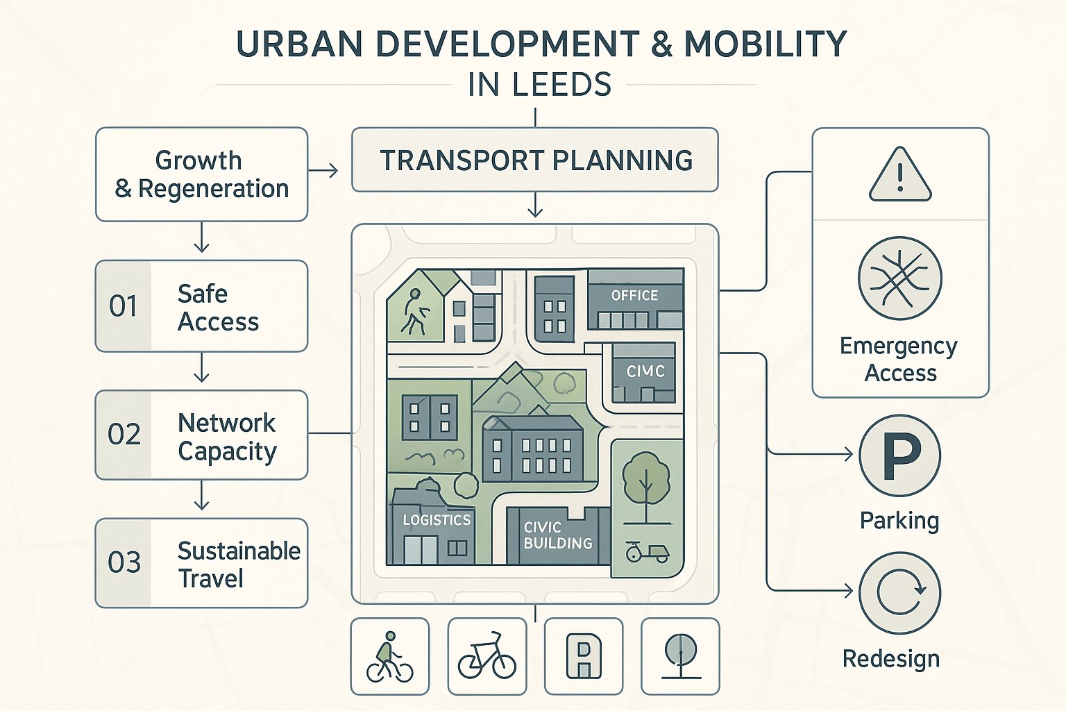
Transport planning matters in Leeds because it sits at the intersection of growth, movement, safety and climate policy. The city is continuing to accommodate housing, employment space, logistics, education and regeneration proposals, but it is doing so against a policy backdrop that expects development to reduce car dependency rather than simply add road capacity.
That has real consequences for planning applications. A transport submission is often one of the first technical documents officers, highways consultees and local stakeholders turn to when judging whether a scheme is acceptable. They want to know a few basic things: can people get there safely, can the local network absorb the trips, is the design practical for servicing and emergency access, and does the proposal support more sustainable travel choices?
In Leeds, those questions are rarely academic. Many sites sit on busy corridors, near constrained junctions, or within neighbourhoods where on-street parking is already sensitive. Others are in highly sustainable locations where policy expectations are higher and generous car-led layouts can quickly look outdated.
Good transport planning helps shape the development itself. It can influence site layout, access position, parking provision, cycle storage, delivery strategy and public realm. Done early, it reduces redesign later. Done badly, it can trigger avoidable objections, requests for more modelling, or awkward conditions at the end of the process.
So this isn’t just about reports. It’s about making a scheme feel credible, deliverable and policy-aligned from the outset.
How Leeds Planning Policy And Local Transport Expectations Shape Applications
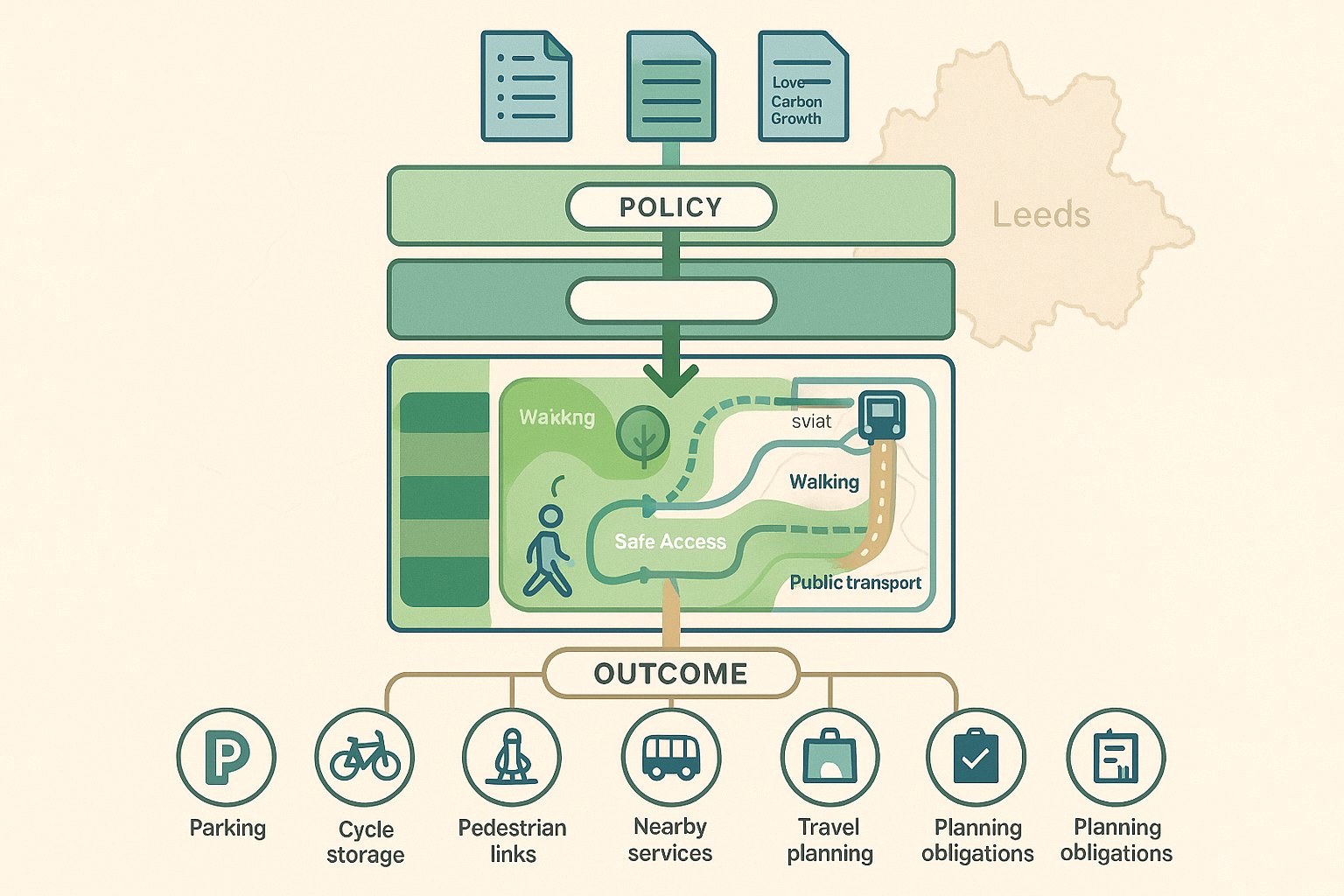
Leeds applications are shaped by both national and local transport policy, and the direction is fairly consistent: development should be in sustainable locations, provide safe and suitable access, and prioritise walking, cycling and public transport over unnecessary private car use.
At national level, the NPPF remains central. It expects developments to promote sustainable transport, give priority to pedestrian and cycle movements where appropriate, and only be refused on highways grounds if the residual cumulative impacts are severe. That final phrase gets quoted a lot, but in practice applicants still need robust evidence to show why impacts are acceptable and what mitigation is proposed.
Locally, the Leeds Core Strategy, Site Allocations Plan and Leeds Transport Strategy add more texture. Together, they support low-carbon growth, improved connectivity, stronger public transport corridors and better active travel infrastructure. For applicants, that means a scheme in Leeds is not usually assessed only on whether cars can get in and out. It is also judged on whether the development encourages healthier, lower-emission travel patterns.
That influences parking strategy, cycle provision, pedestrian links, bus accessibility and the quality of routes to nearby services. It also shapes negotiations around travel planning, off-site works and planning obligations.
In our experience, the strongest submissions do not treat policy as a compliance appendix. They explain, clearly and directly, how the transport strategy of the scheme responds to local expectations. That policy narrative matters more than many teams first assume.
When A Transport Statement, Transport Assessment, Or Travel Plan Is Needed
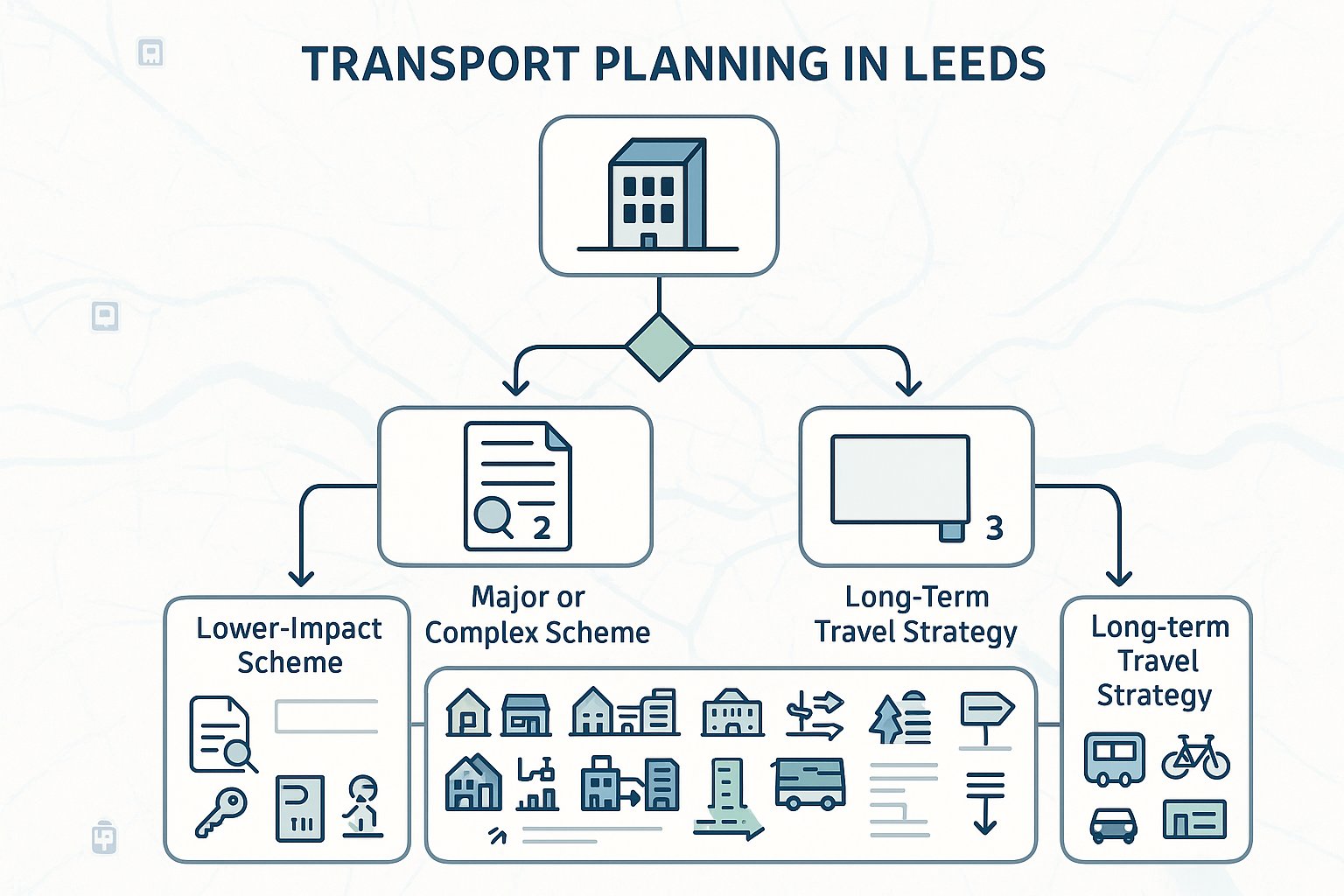
One of the most common early questions is simple: what level of transport evidence will Leeds expect? The answer depends on the scale, type and likely impact of the proposal, but there are some clear practical patterns.
A Transport Statement is typically suited to smaller or lower-impact developments where the transport implications are limited and can be addressed without detailed modelling. It still needs to be evidence-based, but the exercise is usually proportionate: existing conditions, access arrangements, trip estimates, parking, sustainable travel opportunities and a reasoned conclusion on likely effects.
A Transport Assessment is usually needed where a scheme is larger, more complex, or likely to create a material impact on the local highway network. Major residential, retail, employment, education and mixed-use schemes commonly fall into this category. Here, the local authority will often expect a fuller baseline review, trip generation, trip distribution, junction capacity testing, sustainable travel analysis and mitigation proposals.
A Travel Plan often accompanies either document where mode shift is important to the acceptability of the development. In many cases it is secured by condition or legal agreement and becomes part of the long-term operational strategy of the site.
The right approach is usually to scope this early. Over-reporting can waste time and budget. Under-reporting tends to cost more in the end.
How Development Type And Scale Affect Transport Evidence Requirements
Not all land uses behave the same way, and Leeds officers will usually expect the transport evidence to reflect that reality rather than rely on generic assumptions.
Residential schemes often raise questions around peak-hour commuting trips, parking accumulation, visitor demand, refuse collection, delivery activity and pressure on surrounding streets. Student housing can differ sharply from suburban family housing. Build-to-rent in a central location may justify a very different parking and travel plan approach from edge-of-centre apartments.
Employment schemes can generate pronounced inbound and outbound peak flows, but the detail depends on whether the use is office-led, industrial, warehousing or a hybrid operation. Servicing, HGV movements and shift patterns can become key.
Retail and food-led uses may create stronger weekend and inter-peak demand, with linked trips and short-stay parking affecting local streets differently. Education schemes can bring concentrated pick-up and drop-off issues. Mixed-use proposals are often more nuanced again, because internal trip capture and different peak profiles may reduce some impacts while complicating the assessment.
The evidence should follow those characteristics. That may mean more detailed modelling, different survey windows, careful parking stress review, or stronger active travel justification. In short, transport planning in Leeds works best when the submission is tailored to the actual movement patterns of the proposed development, not built from a template.
Key Highways And Access Issues That Commonly Influence Decisions
A surprising number of applications run into difficulty because basic access and highways issues were not tested properly at concept stage. In Leeds, these points regularly influence officer recommendations and consultee comments.
First is whether the site can achieve a safe and suitable access for all users. That includes vehicles, but also pedestrians, cyclists, delivery drivers, refuse vehicles and, where relevant, emergency services. Access geometry, gradients, crossing points and interaction with existing footways all matter.
Second is the effect on the local highway network. Even where impacts are not severe in NPPF terms, congested corridors and sensitive junctions can generate requests for further analysis or mitigation. Applicants need to understand not just the immediate frontage, but how trips disperse and where pressure points already exist.
Third is road safety. A site access with awkward visibility, reversing movements onto the highway, or conflicts between pedestrians and servicing activity can undermine an otherwise acceptable scheme quickly.
And then there is practicality. Can service vehicles turn? Can bins be collected without causing obstruction? Does the access arrangement still work at busy times? These sound like detailed design questions, but they are often central planning questions too.
This is why early transport input pays for itself. It catches the points that can otherwise derail a planning application much later, when redesign is expensive and time is short.
Junction Capacity, Visibility, Parking, And Servicing Considerations
Where transport objections arise in Leeds, they often centre on four connected topics: capacity, visibility, parking and servicing.
Junction capacity analysis is frequently needed where a development adds trips to already busy locations. Depending on the layout, that may involve PICADY, ARCADY, LINSIG or similar modelling tools. What matters is not the software itself, but whether the assumptions are transparent, the baseline is credible and sensitivity testing is sensible. Officers are far more persuaded by honest modelling than by heroic assumptions that collapse under review.
Visibility remains fundamental. Accesses must provide suitable splays and allow safe movement for all users, not only drivers. On constrained urban sites, that can be tricky, particularly where frontage is limited or street parking narrows effective visibility. If there is a problem, it is better to confront it early and redesign than hope it slips through.
Parking needs balance. Too little can create overspill and neighbour concern: too much can conflict with sustainability objectives and weaken the planning case. EV charging, disabled parking, secure cycle parking and motorcycle provision may all be relevant.
Servicing is often underestimated. Delivery vans, larger HGVs, refuse vehicles and occasional abnormal loads all need practical routes and turning arrangements. Swept path drawings, management plans and timed servicing restrictions can all help show the proposal will function in the real world.
Sustainable Travel, Active Travel, And Public Transport In Leeds Schemes
If there is one theme running through modern Leeds transport policy, it is this: successful development should support sustainable movement, not just accommodate traffic. That means applicants need to look beyond access junctions and parking counts.
For many schemes, the planning case is stronger when it shows how residents, staff or visitors can walk, cycle or use public transport easily. Distance to bus stops matters, but so does the quality of the route. A nominally nearby stop is less persuasive if the walking connection is poor, indirect or unpleasant. The same goes for cycle links. Secure storage on site helps, but it is much more convincing when tied to realistic onward routes.
Leeds has placed increasing emphasis on active travel, bus priority and wider low-carbon transport initiatives. That does not mean every site must deliver major off-site infrastructure, but it does mean developments should align with those aims where proportionate. Sometimes that means improved frontage footways, crossing enhancements, cycle parking, shower facilities, car club spaces or contributions toward local measures.
Public transport accessibility can be especially important on reduced-parking schemes. If the car provision is restrained, the sustainable travel offer must be coherent and credible.
In practical terms, we find that sustainable travel arguments work best when they are specific to the site and user group. Generic statements about “encouraging modal shift” are easy to write and easy to dismiss.
The Role Of Travel Plans In Supporting Planning Applications
A good Travel Plan is not a glossy afterthought. It is a management tool that helps make the transport strategy of the development believable.
In Leeds, Travel Plans are often expected for larger or more impactful schemes, particularly where mode shift is central to policy compliance. Their role is straightforward: set out how the site will encourage sustainable travel over time through practical measures, targets, monitoring and named responsibility.
That usually means identifying a Travel Plan coordinator, baseline travel conditions, proposed interventions and realistic modal targets. Measures can include welcome packs, public transport information, discounted ticket initiatives, cycle facilities, car share promotion, electric vehicle support, site-specific wayfinding or engagement with occupiers and residents.
What separates a useful Travel Plan from a weak one is deliverability. Vague aspirations are rarely persuasive. Clear actions, trigger points, monitoring periods and review mechanisms are. Where a plan is likely to be secured by condition or Section 106 agreement, that clarity becomes even more important because the commitments may need to be implemented and audited later.
For developers, the hidden benefit is that a strong Travel Plan can sometimes help offset concern about parking restraint or network impact by showing that the development has a structured strategy for reducing single-occupancy car trips. That can be genuinely helpful during determination and negotiation.
The Transport Planning Process From Initial Site Review To Submission
The most efficient transport planning process is usually the one that starts before the layout is fixed. Once a masterplan hardens around a weak access idea or unrealistic parking strategy, the reporting stage becomes damage limitation.
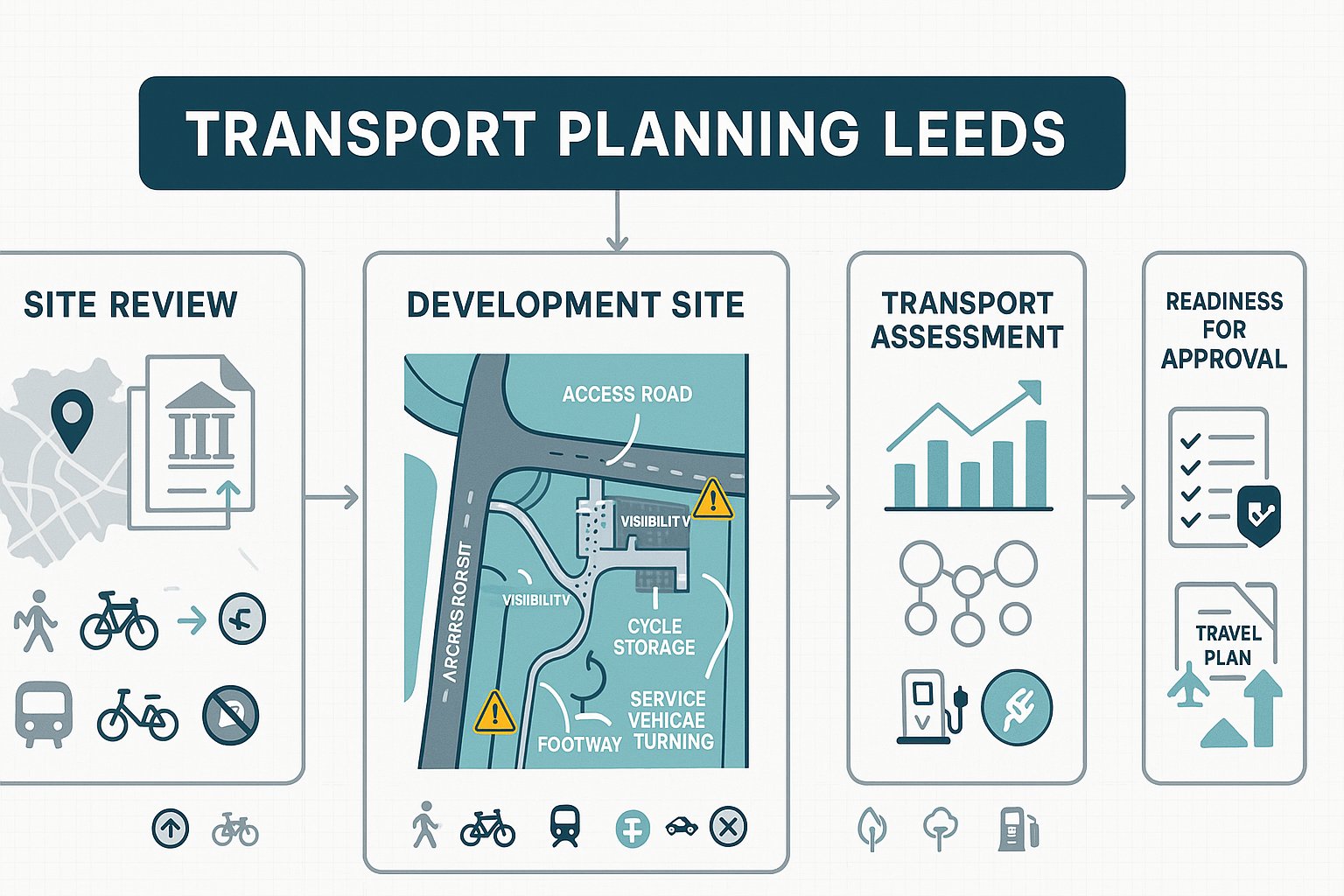
A sensible process in Leeds typically starts with a site and policy review. We look at the surrounding highway context, nearby junctions, public transport accessibility, walking and cycling links, local constraints and the policy framework likely to shape the submission. Early trip generation thinking helps identify whether a Transport Statement or full Transport Assessment is more likely.
The next step is usually pre-application engagement. Depending on the site, that may involve Leeds City Council, and in some cases National Highways or other stakeholders. Early scoping can save a lot of wasted effort, especially where there is uncertainty over survey requirements, junction modelling, or the likely extent of mitigation.
Then comes data collection, analysis and option testing. That may include traffic surveys, parking surveys, collision data review, accessibility analysis and capacity modelling. Access arrangements and mitigation options are tested alongside the evolving design.
Finally, the transport documents are assembled: Statement or Assessment, Travel Plan, technical appendices, access drawings and swept paths. A strong submission is not just technically correct: it is clearly explained, internally consistent and ready for scrutiny by officers, consultees and third parties.
Common Challenges On Leeds Sites And How To Address Them Early
Leeds sites often come with transport complications that are entirely predictable if you know what to look for. The problem is not usually that these issues exist. It is that they are discovered too late.
One common challenge is existing congestion on nearby junctions and corridors. If a site feeds into a location already under pressure, modest additional trips can become politically and technically sensitive. Early modelling, realistic trip assumptions and honest mitigation testing are essential.
Another is the constrained urban site. Limited frontage, nearby parked vehicles, tight turning space and heavy pedestrian activity can all make access design awkward. These sites need practical drawings early, not just broad red-line assumptions.
On-street parking pressure is another frequent flashpoint. Even where policy supports lower car provision, neighbouring streets may already be full. Parking surveys, controlled parking context and resident behaviour all need careful treatment.
Servicing can also be difficult on tight streets, especially for mixed-use and town-centre schemes. Delivery times, refuse strategy and vehicle tracking should not be left until the end.
The best way to deal with these challenges is simple, if not always glamorous: scope early, test options properly, and avoid optimistic assumptions. In our experience, concise and locally tuned evidence does far more to unlock planning progress than overblown reporting that ducks the awkward bits.
Working With Local Authorities And Highway Stakeholders Efficiently
A technically sound report can still lose time if the process around it is clumsy. In Leeds, efficient engagement with authorities and highway stakeholders often has a direct effect on programme risk.
The first rule is to agree scope early where possible. If the authority expects different survey dates, broader modelling, or a stronger Travel Plan framework than the team has assumed, it is far better to find that out before the work is finalised. Pre-application discussion is not always perfect, but it usually helps narrow uncertainty.
The second is to follow local validation and formatting requirements carefully. Missing appendices, inconsistent plans or unclear drawings create avoidable delay and can make an otherwise good submission look rushed.
Third, where schemes are complex, it can help to share interim findings rather than wait for the full package. If early capacity testing reveals an issue, discussing mitigation options before the application is lodged can save a painful round of post-submission revisions.
It also matters to understand the wider transport context across Leeds and West Yorkshire. Proposals that align with active travel priorities, bus movement objectives and corridor improvements tend to be easier to justify than schemes that appear to work against them.
A cooperative, evidence-led approach usually gets better results than a defensive one. Everyone can tell when a submission has been prepared to solve problems rather than argue around them.
What To Include In A Strong Transport Planning Submission
A strong transport planning submission in Leeds is not necessarily the longest one. It is the one that answers the right questions clearly, proportionately and with evidence that hangs together.
At minimum, we would expect a convincing submission to include:
- a clear explanation of the proposal and the surrounding transport context:
- a policy compliance narrative linked to national and local transport expectations:
- robust trip generation with justified data sources and sensible assumptions:
- trip distribution and assignment that reflect how the network actually works:
- capacity analysis, where needed, with transparent inputs and sensitivity testing:
- a safe access strategy supported by drawings, visibility review and swept paths:
- parking, cycle parking, servicing and refuse arrangements that are practical:
- a realistic sustainable travel strategy, including public transport and active travel opportunities:
- a Travel Plan where appropriate, with measures, targets and monitoring: and
- clear mitigation proposals, including any off-site works, conditions or obligations.
Just as important is consistency. Numbers in the report should match the plans. The Travel Plan should support the parking strategy. The policy narrative should reflect the mitigation package. When these pieces do not line up, consultees notice.
This is where experienced reporting helps. At ML Traffic, our focus is on concise, accurate transport engineering reports shaped to local authority thresholds and planning contexts. That matters because decision-makers are more likely to trust a submission that is sharp, relevant and technically grounded.
Conclusion
Leeds is a city where transport evidence can materially improve, or weaken, the prospects of planning consent. The policy direction is clear: development should be accessible, safe, realistic in its highway impacts and supportive of mode shift.
For applicants, that means transport planning cannot be treated as a late-stage document exercise. The strongest outcomes usually come from early site review, proportionate scoping, honest analysis and a submission that connects access, highways, parking, servicing and sustainable travel into one coherent story.
That is really the core of effective transport planning Leeds work in 2026. Not producing more paper than necessary, but producing the right evidence in the right way.
When a scheme demonstrates safe access, credible trip impacts, practical mitigation and a genuine commitment to walking, cycling and public transport, it is simply easier for officers and stakeholders to support. And in a planning environment where delay is expensive, that clarity can make all the difference.
Transport Planning Leeds: Frequently Asked Questions
Why is transport planning important for developments in Leeds?
Transport planning underpins decisions on development location, scale, and design in Leeds. It supports housing and employment growth while meeting carbon and air-quality targets by promoting safe access and encouraging sustainable, low-carbon travel options.
When is a Transport Statement or Transport Assessment required in Leeds planning applications?
Smaller, low-impact developments typically require a Transport Statement, while larger or more complex proposals—such as major housing, retail, or employment schemes—usually need a full Transport Assessment and a Travel Plan, following Leeds local and national policy guidance.
How does Leeds transport policy influence parking and sustainable travel in new developments?
Leeds policies prioritise reducing car dependency by encouraging walking, cycling, and public transport. Developments must balance parking provision to avoid overspill while supporting electric vehicle charging, secure cycle storage, and accessible public transport connections for sustainable travel.
What key access and highway issues affect transport planning decisions in Leeds?
Common issues include achieving safe and suitable access for all users, managing impacts on busy local highway networks, ensuring good visibility splays, handling servicing and refuse vehicle routes, and mitigating any congestion or safety risks related to the development.
How can developers ensure their transport planning submission is successful in Leeds?
A strong submission includes a clear policy compliance narrative, robust trip generation data, transparent junction capacity modelling, practical access and parking designs, tailored sustainable travel strategies, deliverable mitigation proposals, and early liaison with Leeds authorities to align with local expectations.
What role do Travel Plans play in supporting sustainable development in Leeds?
Travel Plans set out practical measures, targets, and monitoring to encourage mode shift towards sustainable travel over time. In Leeds, they often form part of legal agreements, ensuring developments actively manage travel behaviour and reduce single-occupancy car trips in line with policy goals.