Planning risk rarely arrives with much warning. A housing scheme can look well judged on design, density and policy fit, then stall because the transport evidence is thin, outdated or poorly scoped. In our experience, that is exactly why a strong residential transport assessment matters: it turns transport from a late-stage objection into a structured, evidence-led part of the planning case.
For architects, planners, developers, surveyors, lawyers and local authorities, the issue in 2026 is not simply whether traffic increases. It is whether a proposal can demonstrate safe and suitable access, acceptable network performance, realistic parking, and credible opportunities for walking, cycling and public transport. Those are planning questions, not just engineering ones.
A well-prepared assessment does more than satisfy a checklist. It shows the local highway authority that the development has been tested properly, that assumptions are transparent, and that mitigation is proportionate. Done badly, it invites requests for further information, delays to determination, and sometimes refusal. Done well, it helps everyone move faster.
In this guide, we set out what a residential transport assessment is, when it is usually required, what authorities expect to see, and how to prepare one efficiently. We write from the practical side of transport planning: the aim is to help teams submit reports that are concise, robust and aligned with how decisions are really made.
What A Residential Transport Assessment Is And When It Is Required
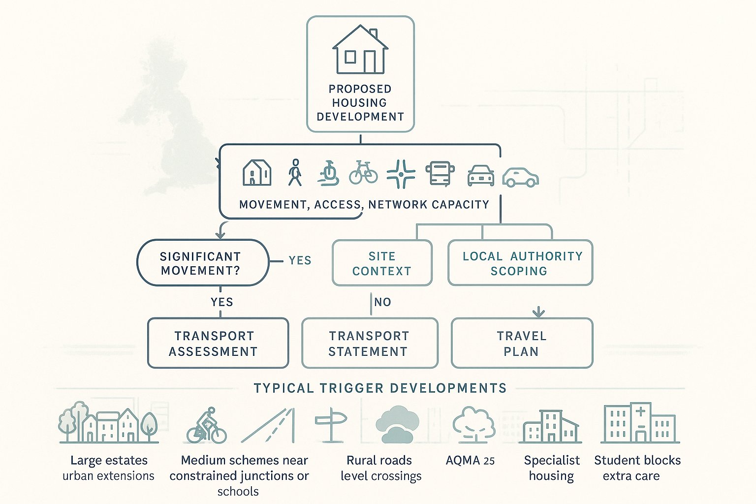
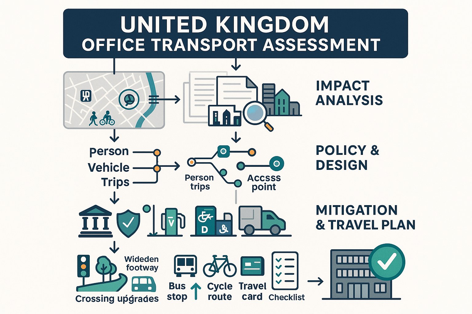
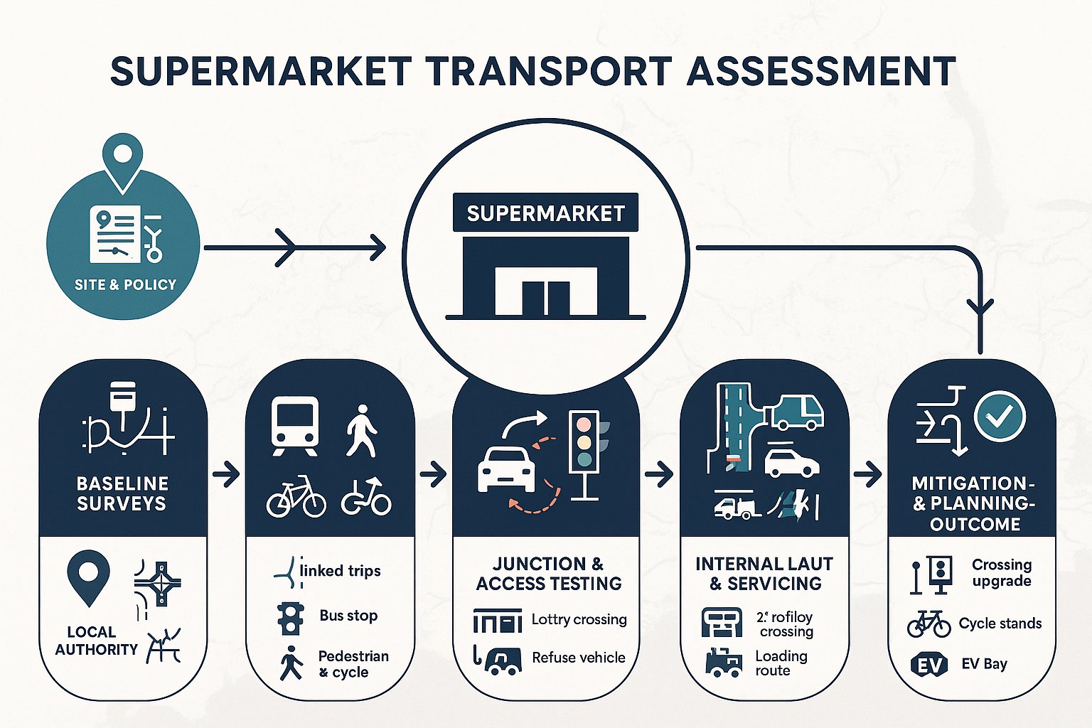
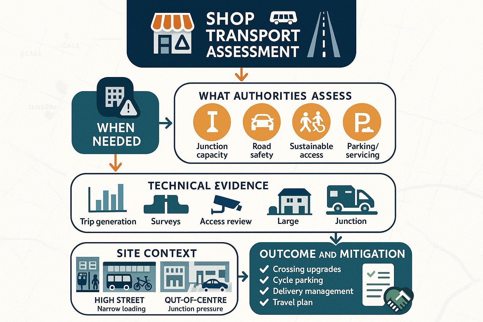
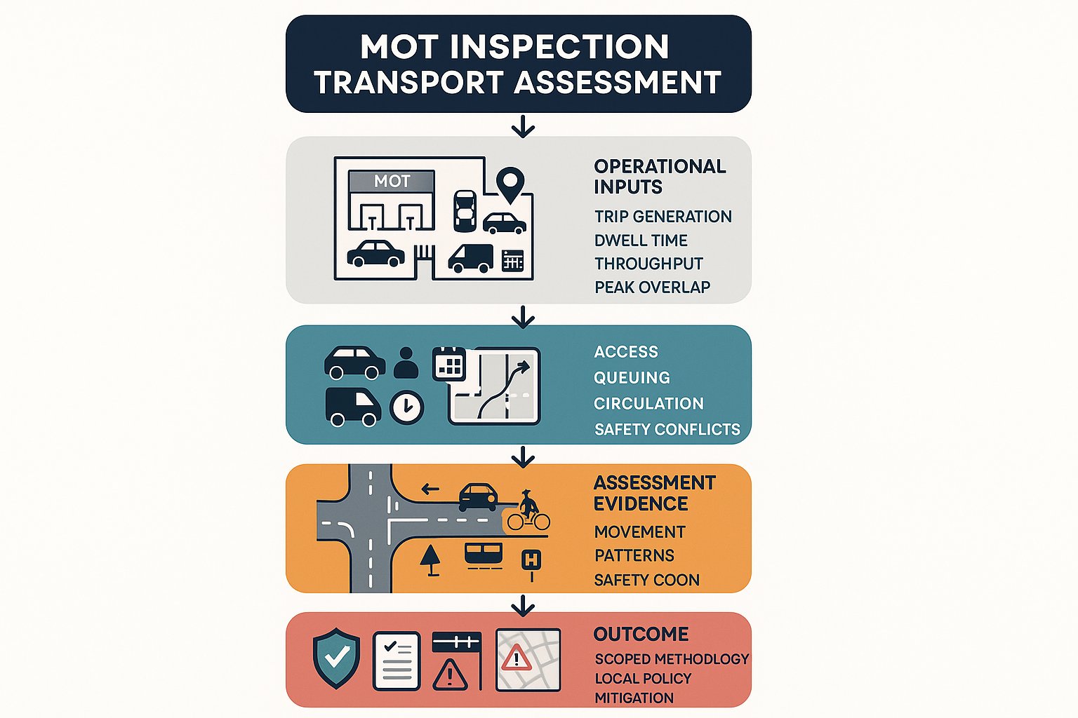
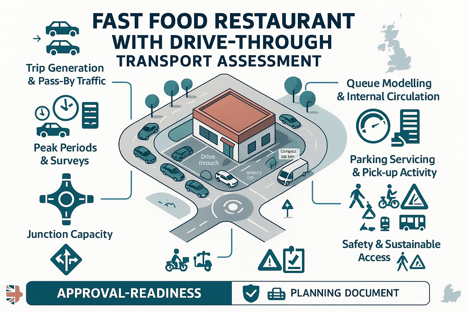
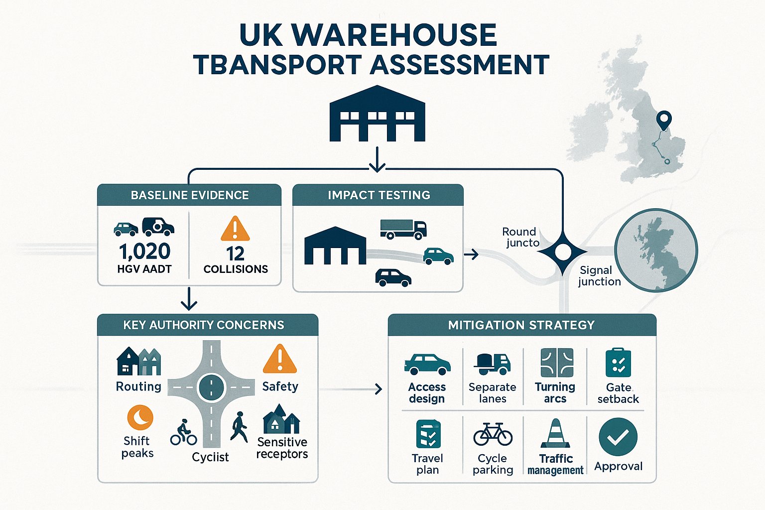
A residential Transport Assessment, usually shortened to TA, is a detailed report examining the transport effects of a proposed housing development and identifying any measures needed to make the scheme acceptable in planning terms. National guidance treats it as a comprehensive and systematic process rather than a single calculation. In plain English, it is the document that explains how people will reach the site, what movements the development will generate, where those trips will go, whether the surrounding network can cope, and what should be changed if it cannot.
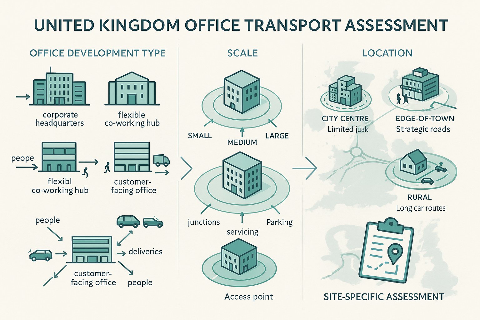
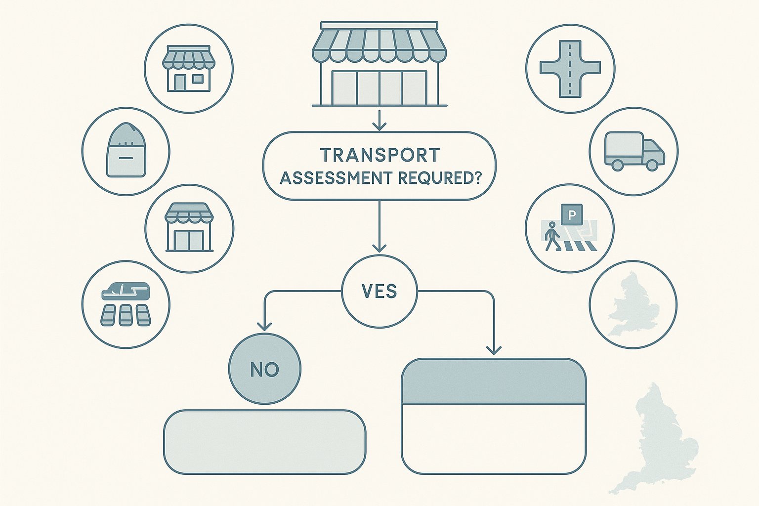
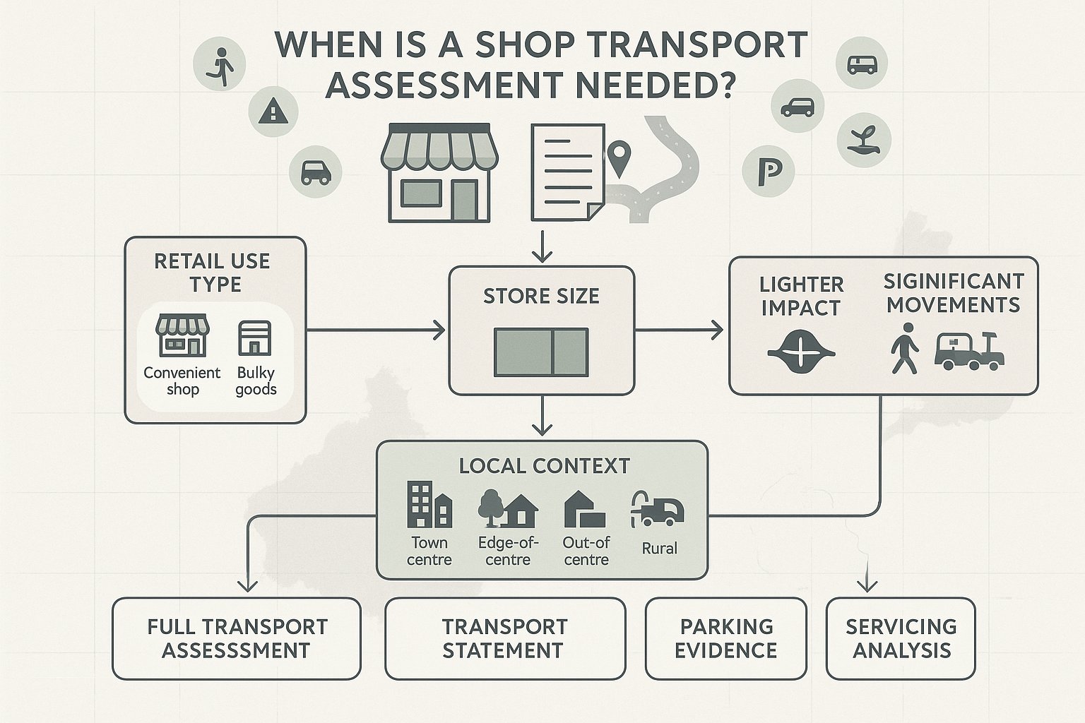
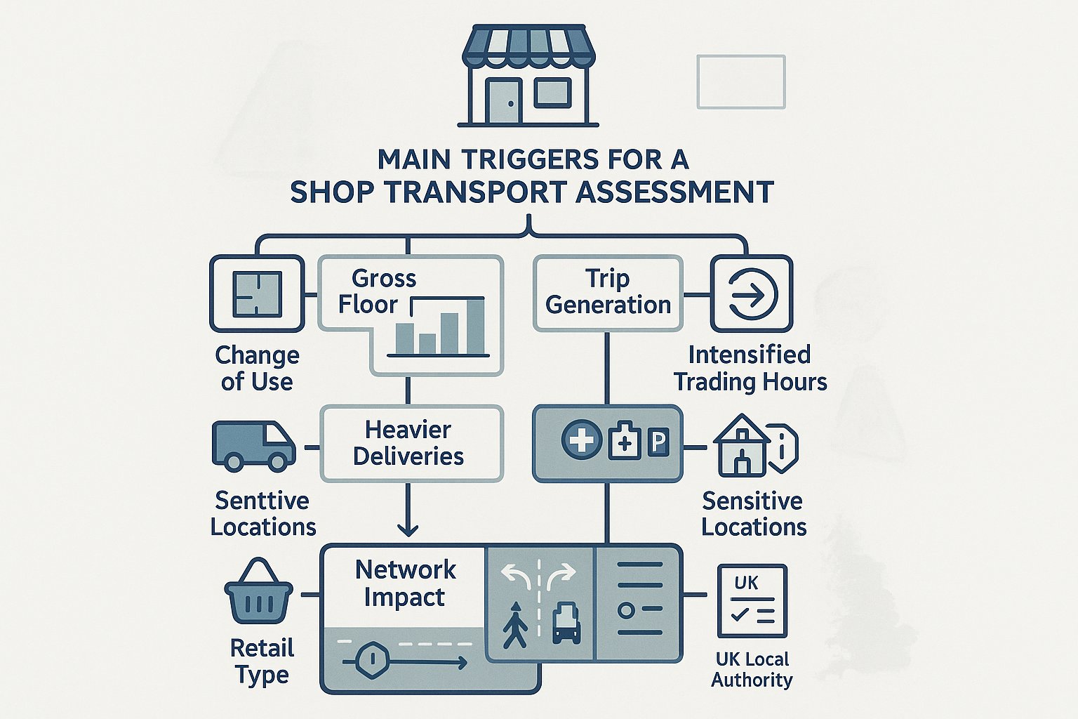
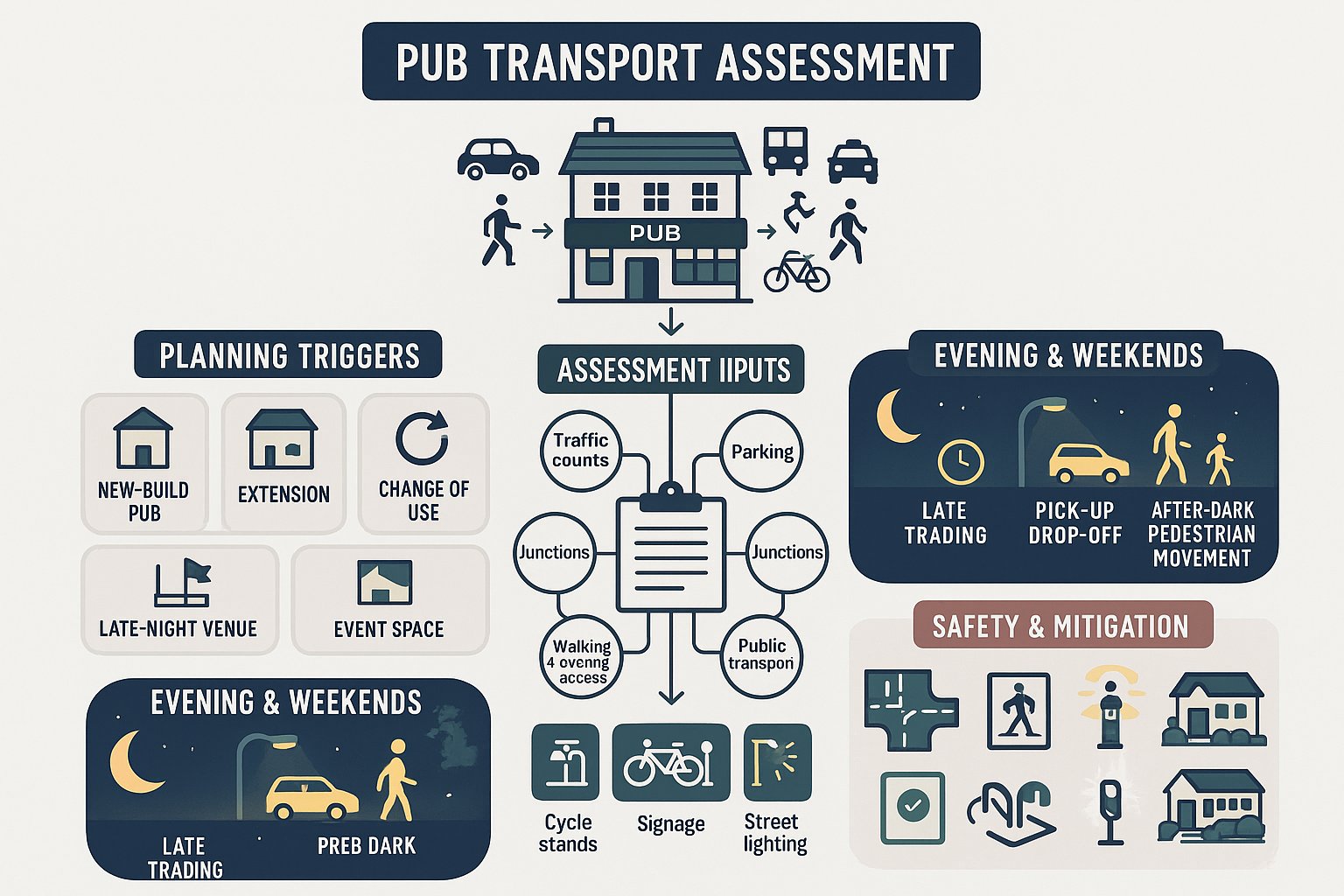
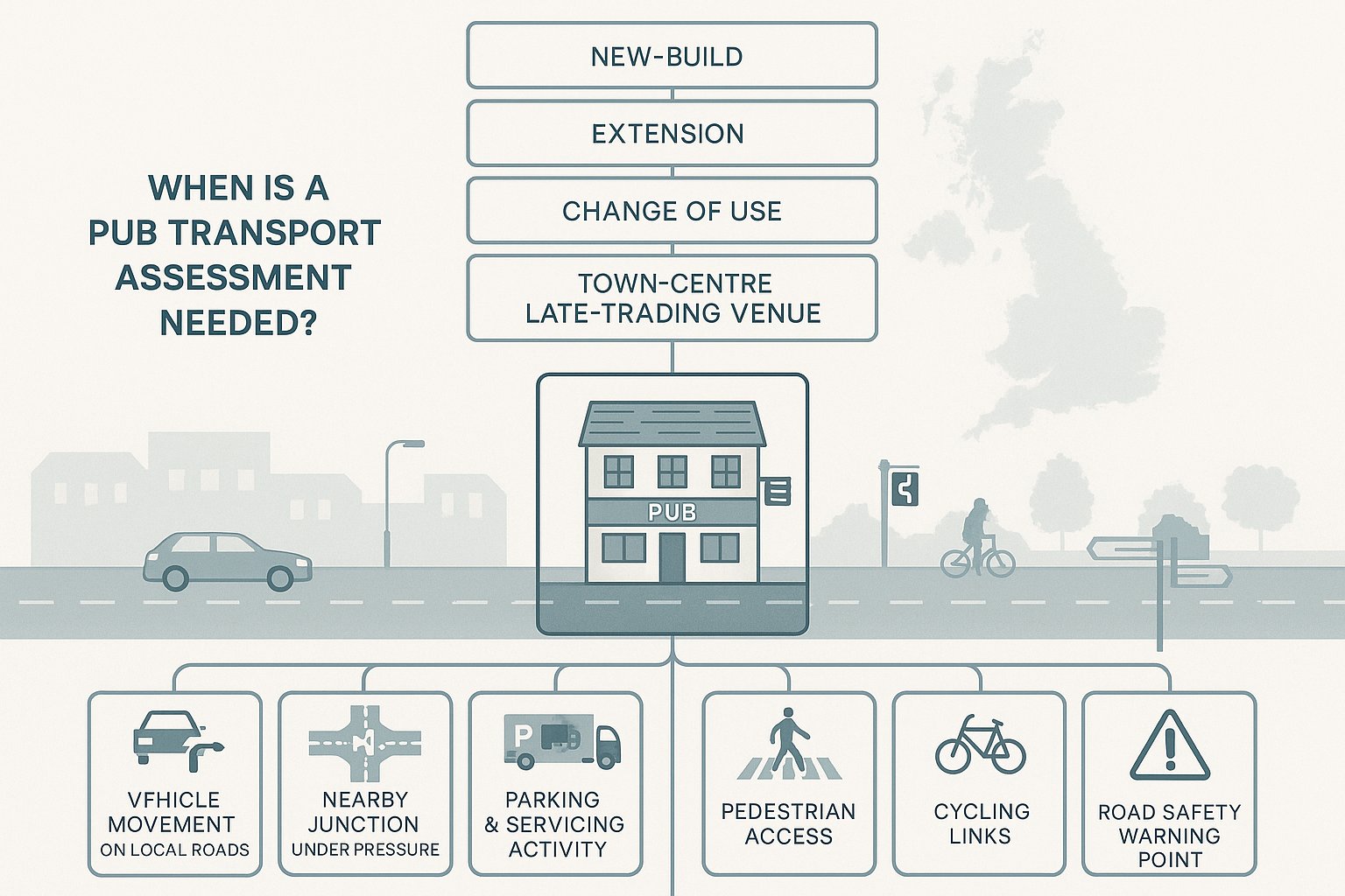
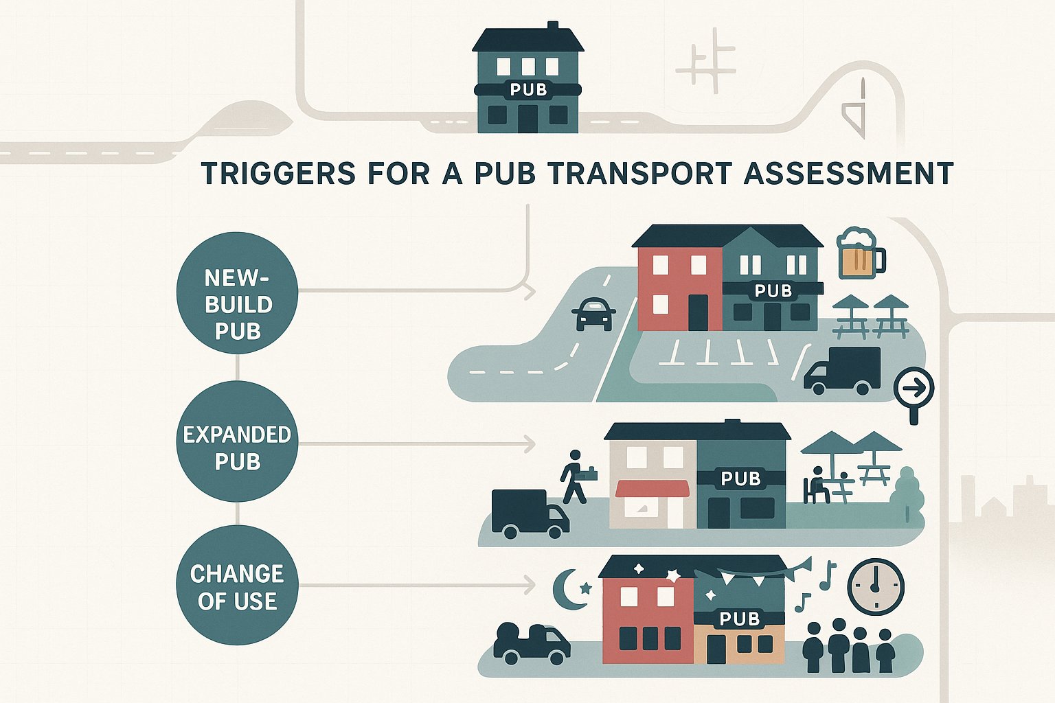
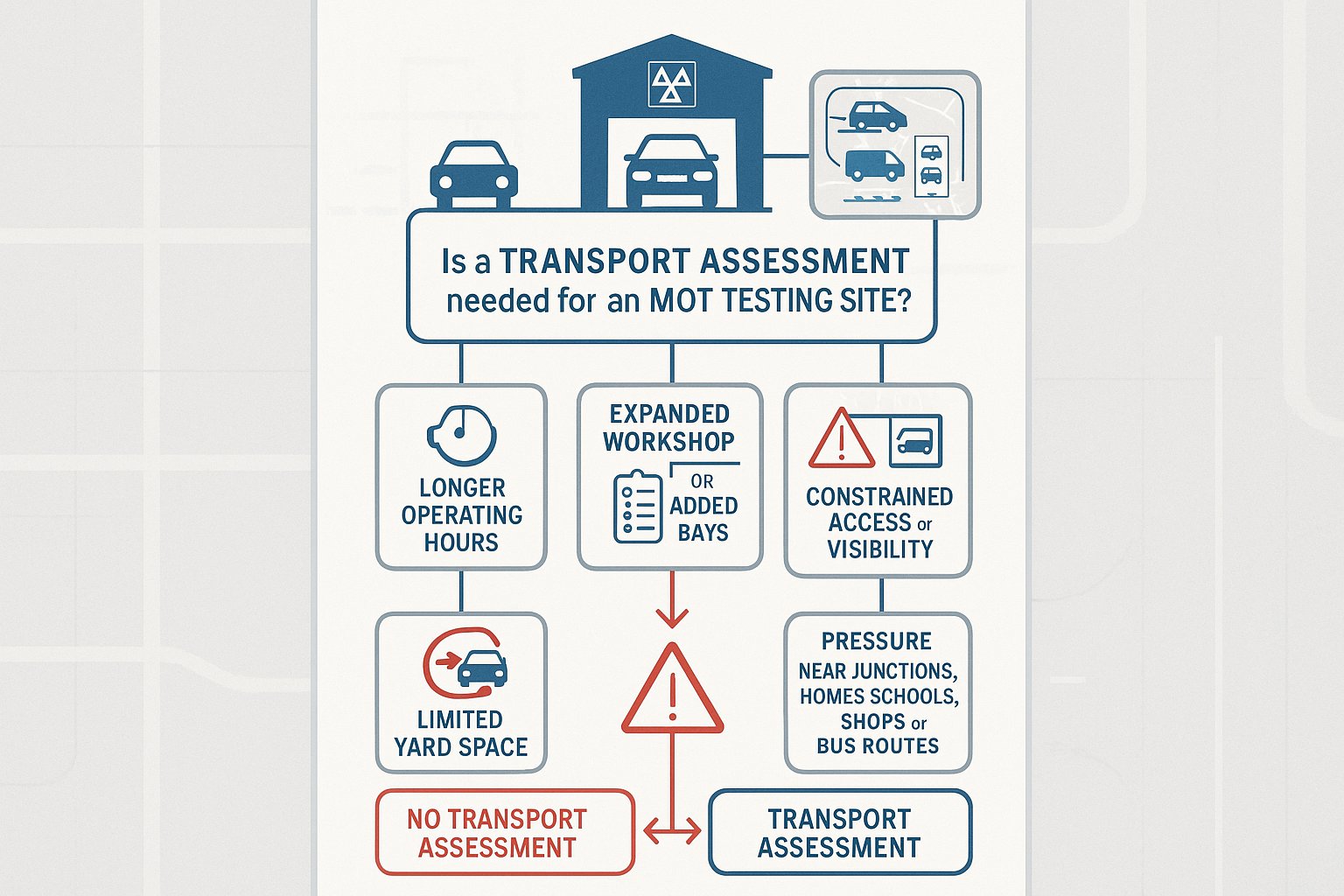
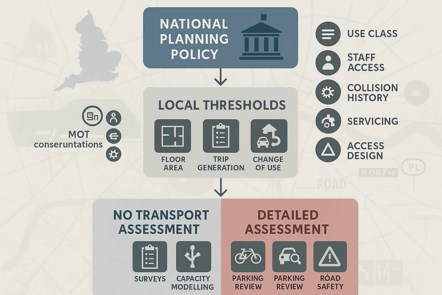
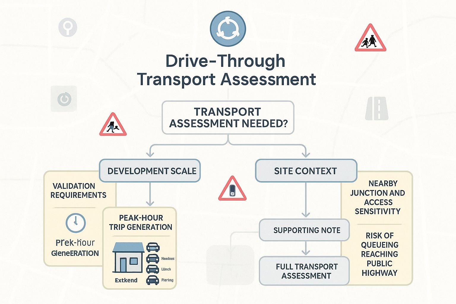
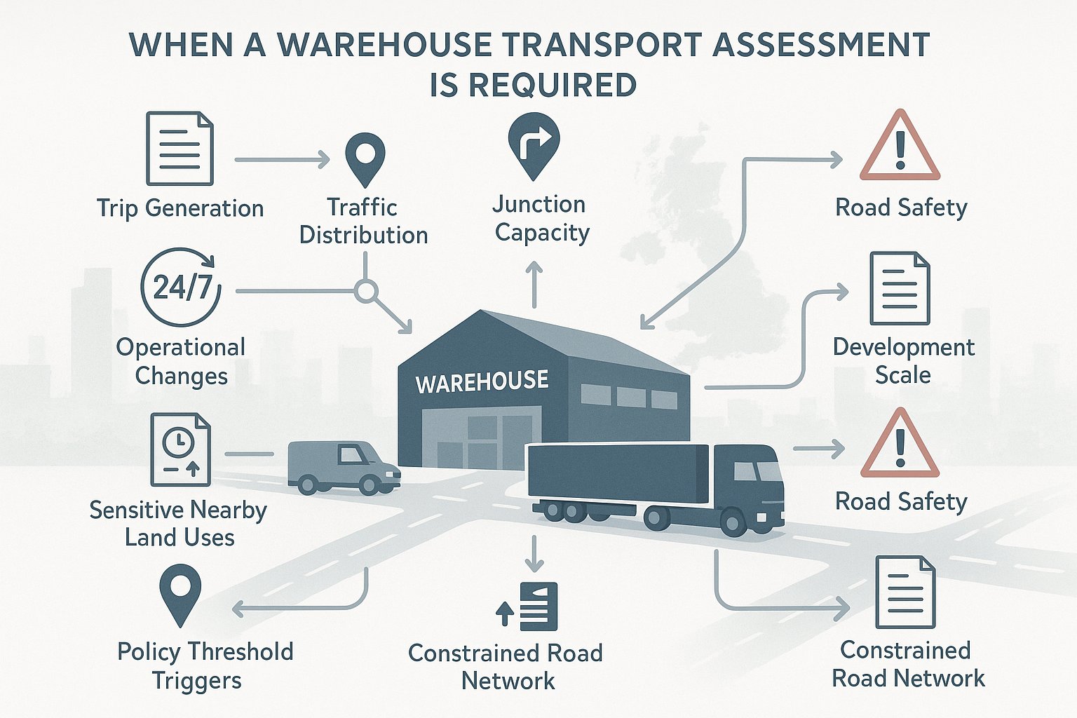
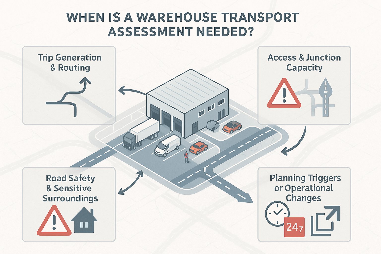
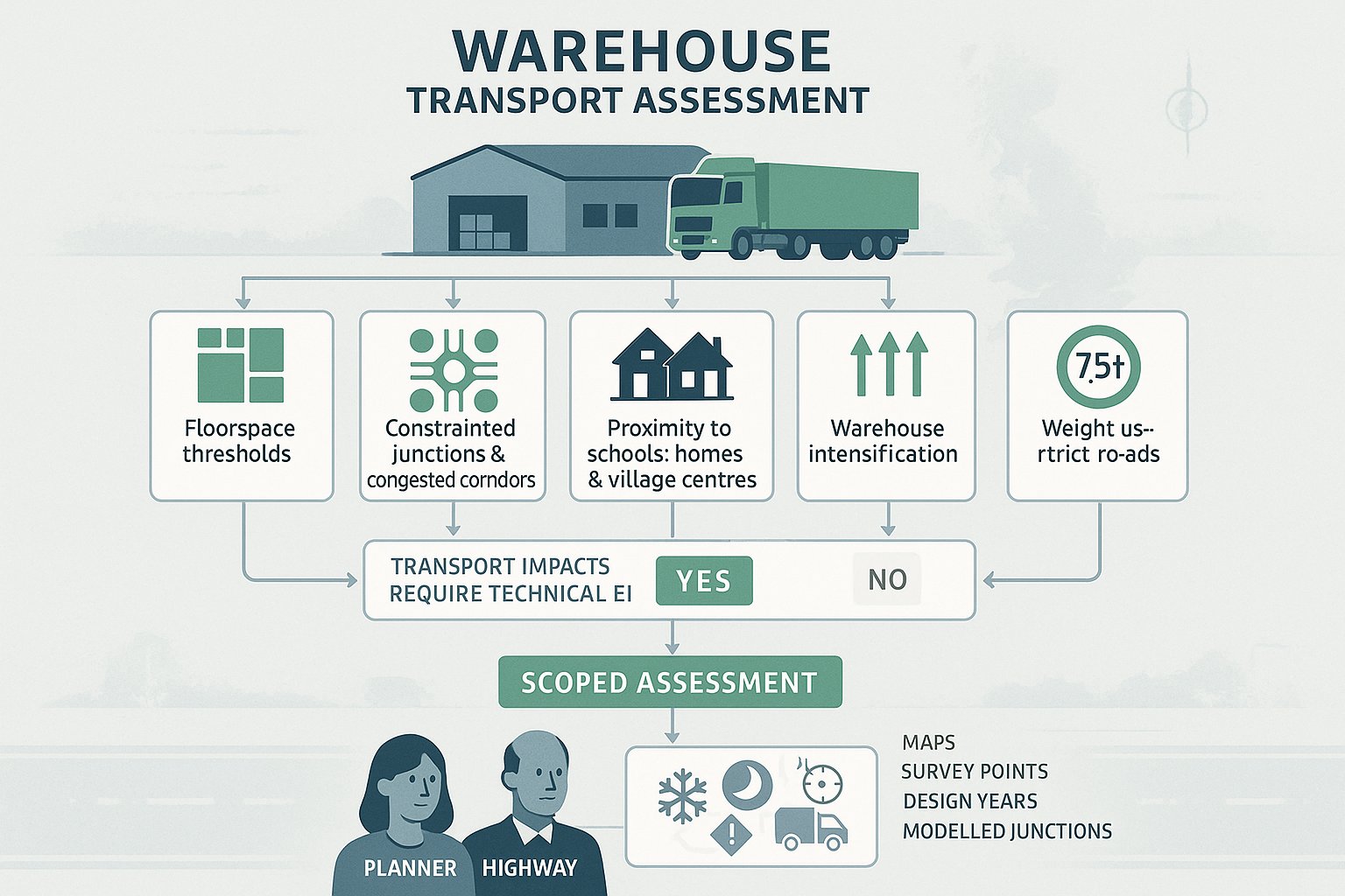
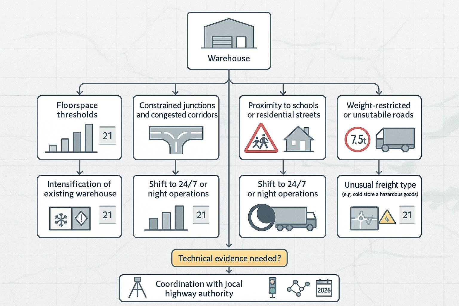
The key trigger is whether the scheme is expected to generate significant amounts of movement. That phrase appears often because there is no universal national dwelling threshold that fits every site. A 40-home scheme on a constrained rural road near a difficult junction may justify more analysis than a larger site in a highly accessible urban location. Context matters.
In practice, a full TA is usually required for larger residential schemes, urban extensions, or sites where existing capacity and safety issues are already sensitive. Local plan policy, county guidance, parking standards and discussions with the local highway authority normally decide the exact level of evidence needed. That is why pre-application scoping is so valuable: it confirms whether the authority expects a full TA, a lighter document, or no formal transport report at all.
How It Differs From A Transport Statement And Travel Plan
These three documents are related, but they are not interchangeable.
A Transport Assessment is the fullest form of transport evidence. It reviews baseline conditions across all modes, estimates development trips, tests junctions and links, assesses safety, considers parking and servicing, and sets out mitigation where required. For residential planning applications with material highway implications, this is the main technical report.
A Transport Statement is lighter touch. It is used where impacts are more limited and a full modelling exercise would be disproportionate. A statement may still assess access, local conditions, trip generation and policy compliance, but usually with less technical depth and fewer modelled scenarios.
A Travel Plan is different again. It is not primarily about proving impact: it is about shaping travel behaviour after the development is occupied. It may include targets, welcome packs, cycle measures, public transport information, monitoring and management arrangements. On larger schemes, the TA often provides the evidence base, while the Travel Plan becomes the delivery tool for sustainable travel measures.
Which Residential Developments Usually Trigger An Assessment
The schemes most likely to trigger a residential transport assessment are straightforward enough to spot.
First, there are large housing developments: major residential sites, strategic allocations, estate extensions and multi-phase schemes. These are expected to generate substantial two-way traffic, often across several peak periods, and their effects may extend well beyond the site access.
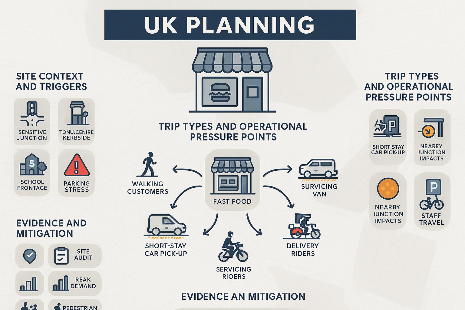
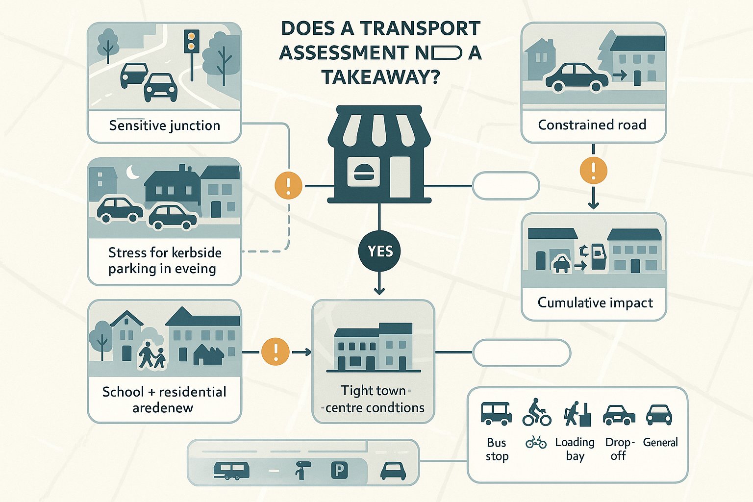
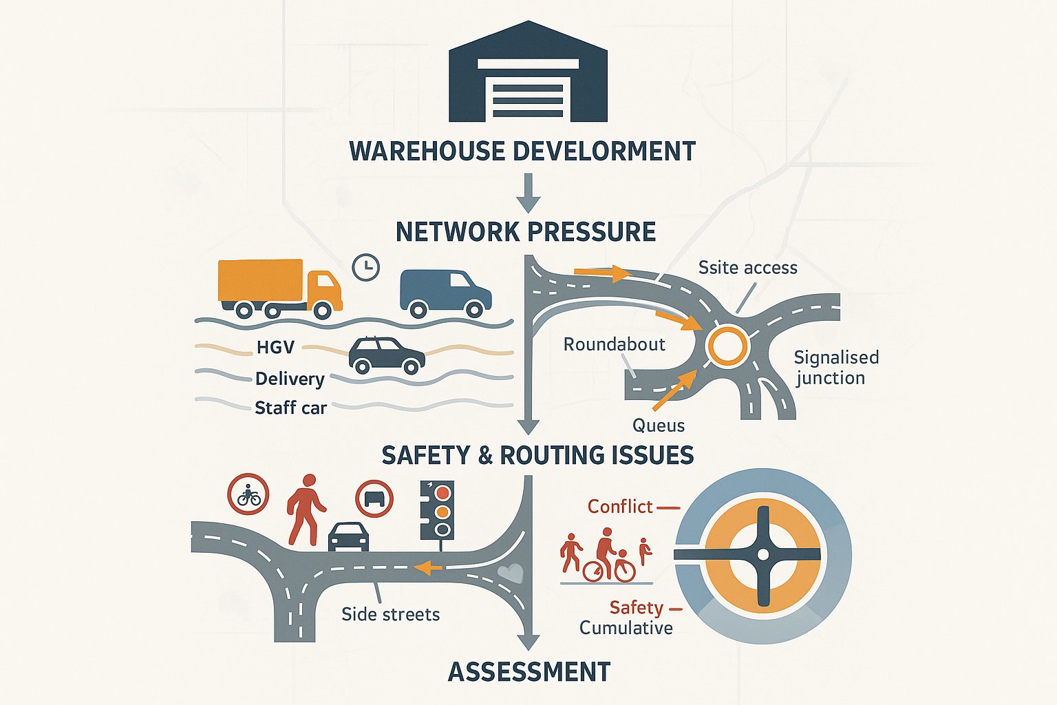
Second, medium-sized schemes can also require a TA where the location is sensitive. Typical examples include development near constrained priority junctions, busy signalised nodes, schools, level crossings, narrow rural roads, Air Quality Management Areas, or places with a known collision history. In these situations, even a moderate increase in trips can become a planning concern.
Third, mixed or specialist residential forms may need fuller assessment than dwelling numbers alone suggest. Extra care housing, student accommodation and high-density flatted development can have distinctive travel patterns, parking demands and servicing needs.
What matters most is not simply scale, but likely transport effect. We generally advise clients to confirm thresholds and methodology with the local highway authority early, because local expectations vary more than many applicants expect.
Why Residential Transport Assessments Matter In The Planning Process
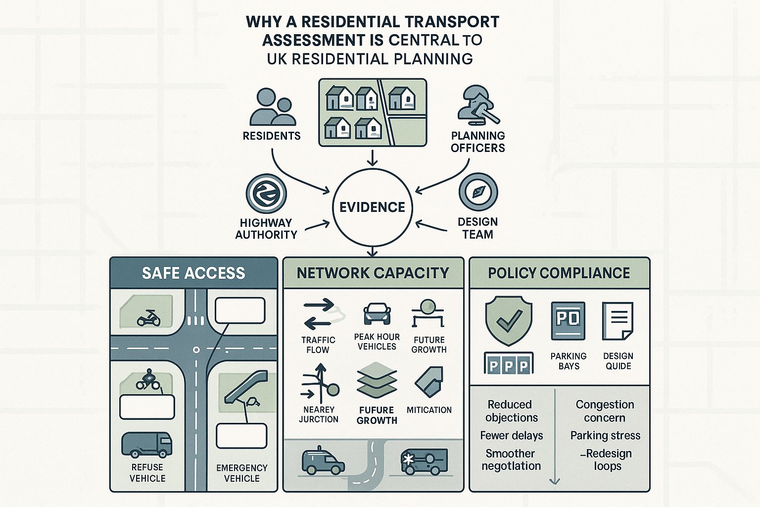
Transport remains one of the most common pressure points in residential planning. It sits at the intersection of design, policy, viability and local politics. Residents worry about rat-running and parking overspill. Planning officers look for policy compliance. Highway authorities focus on safety, capacity and deliverability. A residential transport assessment is the document that brings those concerns into one evidence base.
It matters because planning decisions are not made on instinct alone. Under the National Planning Policy Framework, decision-makers must consider whether there would be an unacceptable impact on highway safety or whether the residual cumulative impacts on the road network would be severe. A TA provides the structured evidence needed to answer those tests.
It also matters because residential transport issues are rarely isolated. Access geometry affects layout. Parking strategy influences street design. Walking and cycling links affect sustainability credentials. Bus accessibility can shape both policy compliance and trip assumptions. If transport is considered too late, development teams often discover that the problem is no longer a report problem: it is a design problem.
A robust TA helps align these moving parts before positions harden. That can save a surprising amount of time.
Demonstrating Safe Access, Capacity, And Policy Compliance
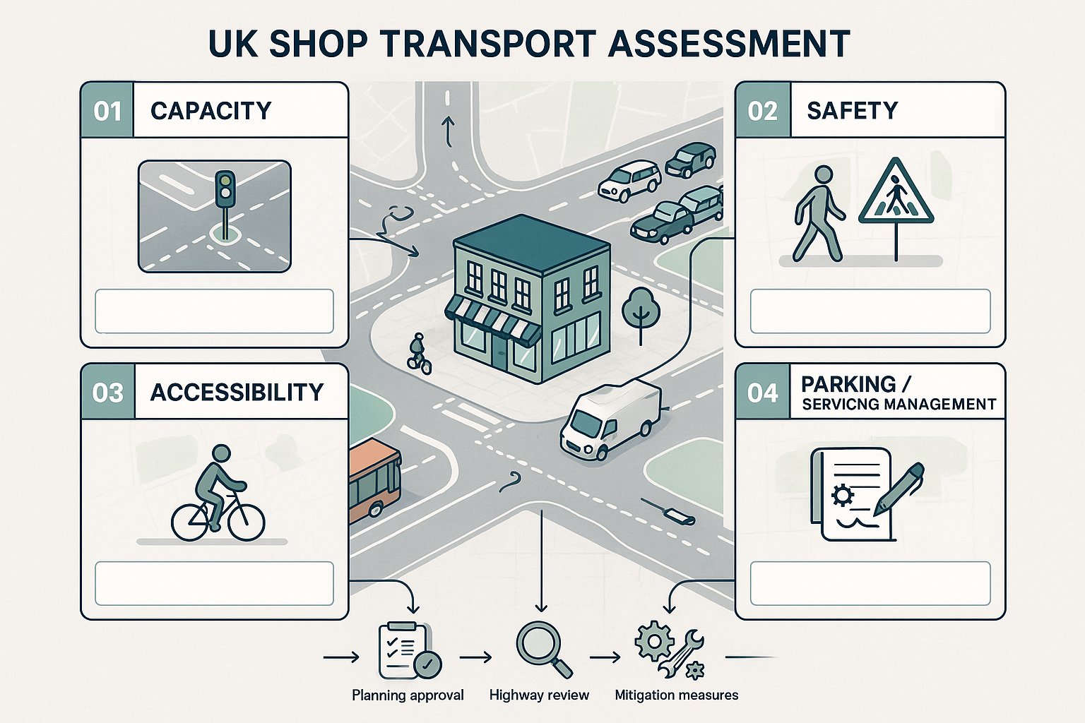
At its strongest, a residential TA demonstrates three things clearly.
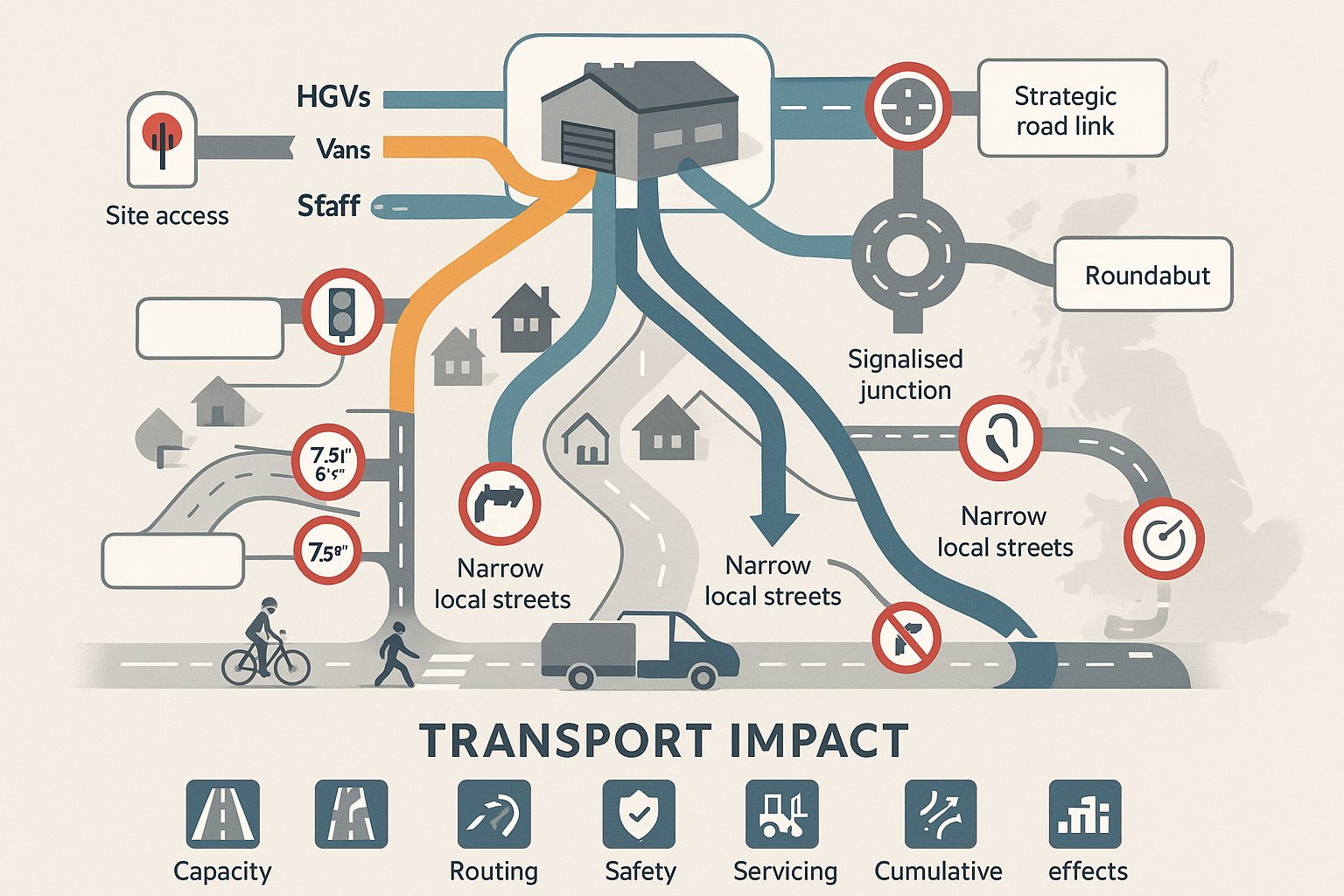
First, that the site can be accessed safely and suitably by all users. That includes vehicle access geometry, visibility splays, pedestrian crossing opportunities, cycle connections, internal turning, refuse access and, where relevant, emergency access. Authorities will want confidence that the scheme does not create avoidable conflict or unsafe manoeuvres.
Second, it shows whether the surrounding network can operate acceptably with the development in place. That means understanding existing traffic flows, future baseline growth, committed development, and the additional demand from the proposed homes. Junction modelling then tests performance under agreed scenarios. The point is not to promise zero impact: few developments can do that honestly. The point is to show impacts are understood, proportionate and, where needed, mitigated.
Third, the TA demonstrates policy compliance. In 2026 that usually means alignment with the NPPF, local plan transport policies, highway design guides and parking standards. If the scheme departs from any of these, the assessment should explain why and show that the outcome remains acceptable. Authorities respond better to a reasoned justification than to silence.
Reducing Objections, Delays, And Requests For Further Information
A good TA is often measured by what it prevents.
When transport evidence is vague, several things tend to happen. The local highway authority asks for more surveys or revised modelling. Planning officers delay determination while technical points are resolved. Objectors focus on congestion, parking stress or school-run safety because the application has not dealt with those issues convincingly. And the design team ends up redrawing access arrangements after submission, which is never the efficient route.
A well-scoped residential transport assessment reduces that risk. It anticipates likely concerns, uses survey data that the authority accepts, tests the right peak periods, and presents assumptions transparently. That makes it easier for consultees to agree with the findings, even where mitigation is needed.
There is also a practical negotiation benefit. If impacts are identified early, the conversation can move towards proportionate mitigation, planning conditions or Section 106 obligations rather than entrenched disagreement. We often find that highway officers are more receptive when they can see the work has been done properly from the start. No one enjoys a speculative transport chapter that leaves the hard questions for later.
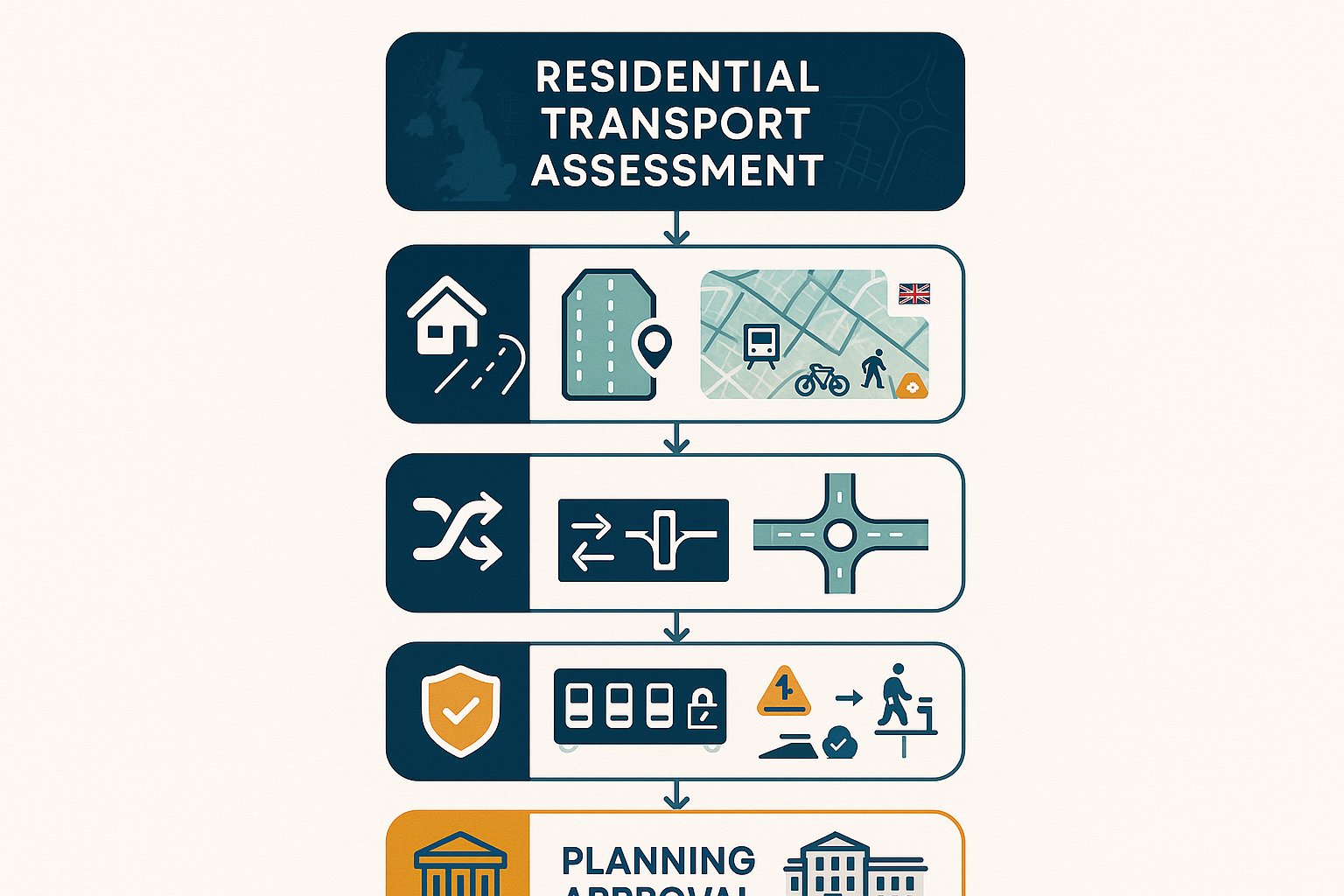
The Core Components Of A Residential Transport Assessment
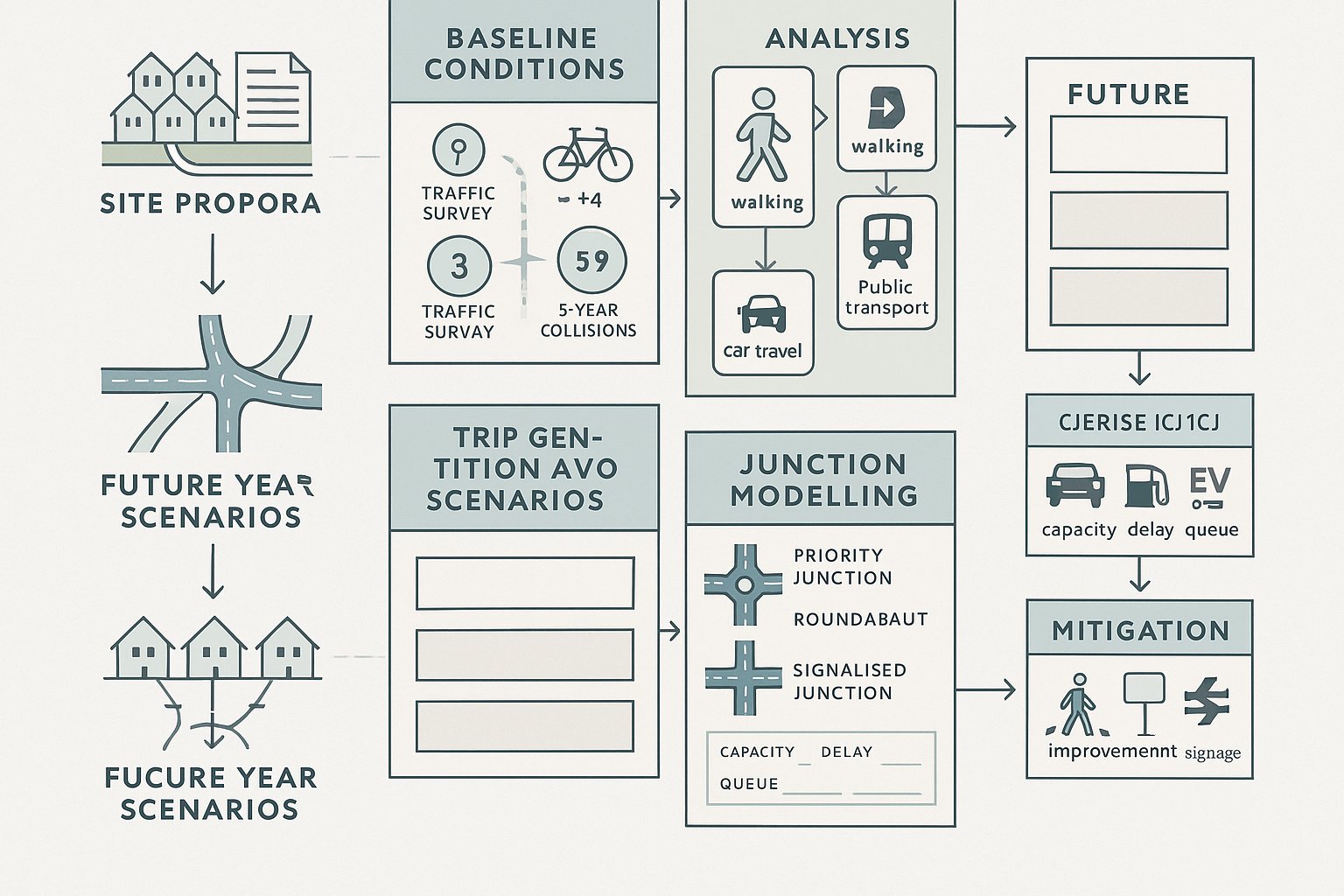
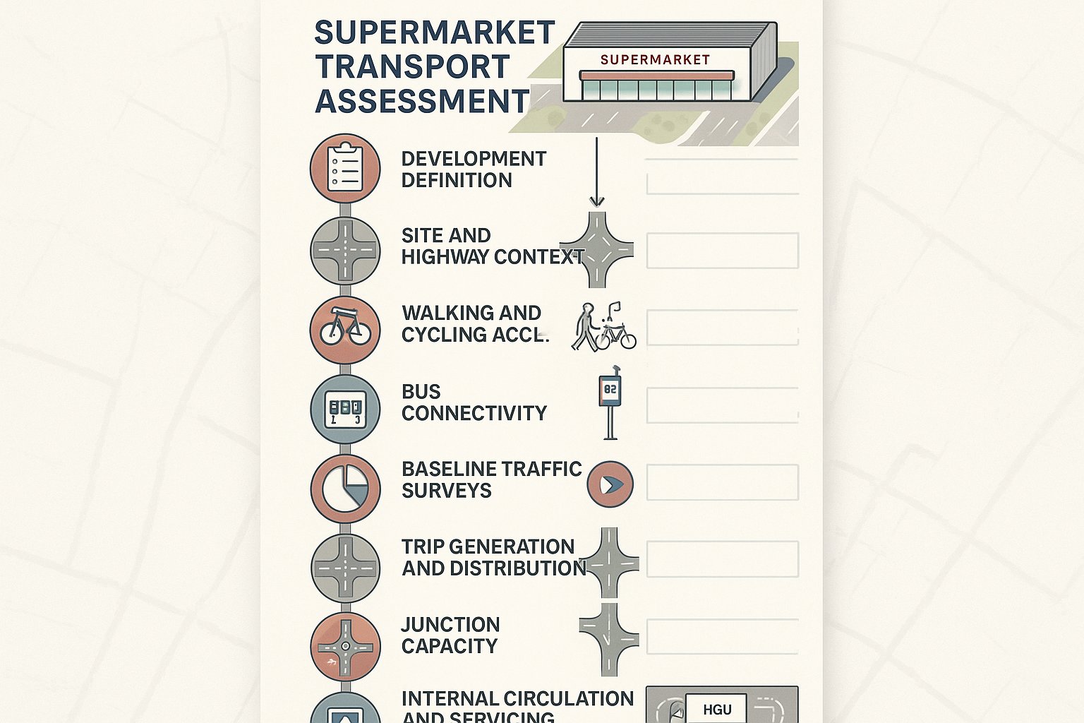
Most local authorities expect a residential TA to follow a recognisable structure. The exact format varies, but the core content is consistent because the same planning questions keep coming up: what is proposed, what conditions exist now, what extra movement will occur, where will it go, what effect will that have, and what mitigation is necessary?
A clear report usually begins with the development description, planning context and agreed scope. It then moves through baseline site and network conditions, sustainable transport opportunities, safety evidence, trip generation, trip distribution and assignment, future year scenarios, junction capacity testing, parking and servicing, and finally mitigation and conclusions.
That may sound formulaic, but clarity helps. Highway officers do not want to hunt through a narrative to find the PIC analysis or the committed development assumptions. And planning teams benefit when each conclusion can be traced back to a defined dataset or model output.
There is another point worth stressing. A TA should be proportionate, but proportionate does not mean thin. If a site raises obvious issues around access, school-run congestion, or parking displacement, a short report that simply says impacts are limited will not reassure anyone. It needs evidence, explanation and, where necessary, drawings to support the case.
Site Access, Highway Conditions, And Baseline Transport Data
This part of the assessment establishes the starting position. If the baseline is weak, everything built on top of it becomes vulnerable.
We would normally expect to see a description of the development quantum, dwelling mix if relevant, access proposals, phasing, and any linked infrastructure works. The report should then explain the site context: surrounding road hierarchy, speed environment, footways, crossing points, cycle routes, bus services, rail access where relevant, local facilities and key destinations.
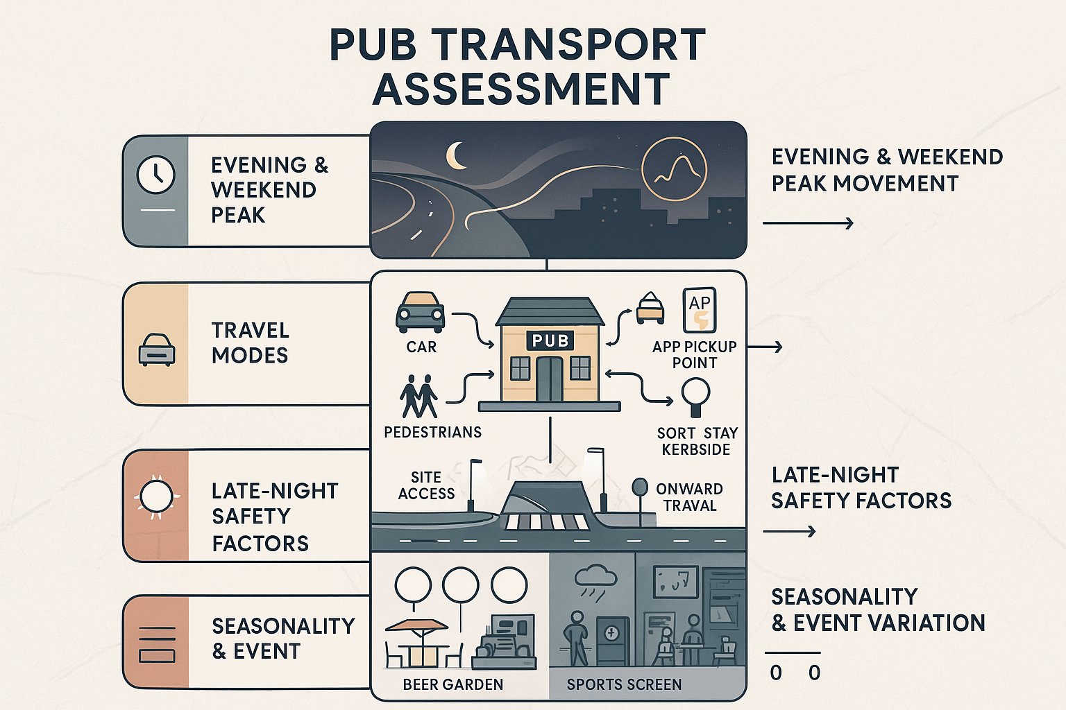
Baseline highway conditions usually include traffic surveys undertaken at agreed locations and during agreed periods, often weekday peaks and sometimes Saturday where retail or leisure interactions matter. Personal Injury Collision data, commonly over a five-year period, should be reviewed to identify any pattern that might affect access or mitigation design. Authorities often look closely at this section because it goes directly to safety.
For sustainable modes, walk and cycle audits and public transport accessibility reviews are increasingly important. A residential scheme is stronger when the TA shows not only vehicular effects, but also genuine opportunities for non-car travel. Even on rural sites, that analysis matters. It frames what mitigation is realistic and what limitations need to be acknowledged.
Trip Generation, Distribution, Junction Modelling, And Parking Review
This is where the assessment shifts from description to testing.
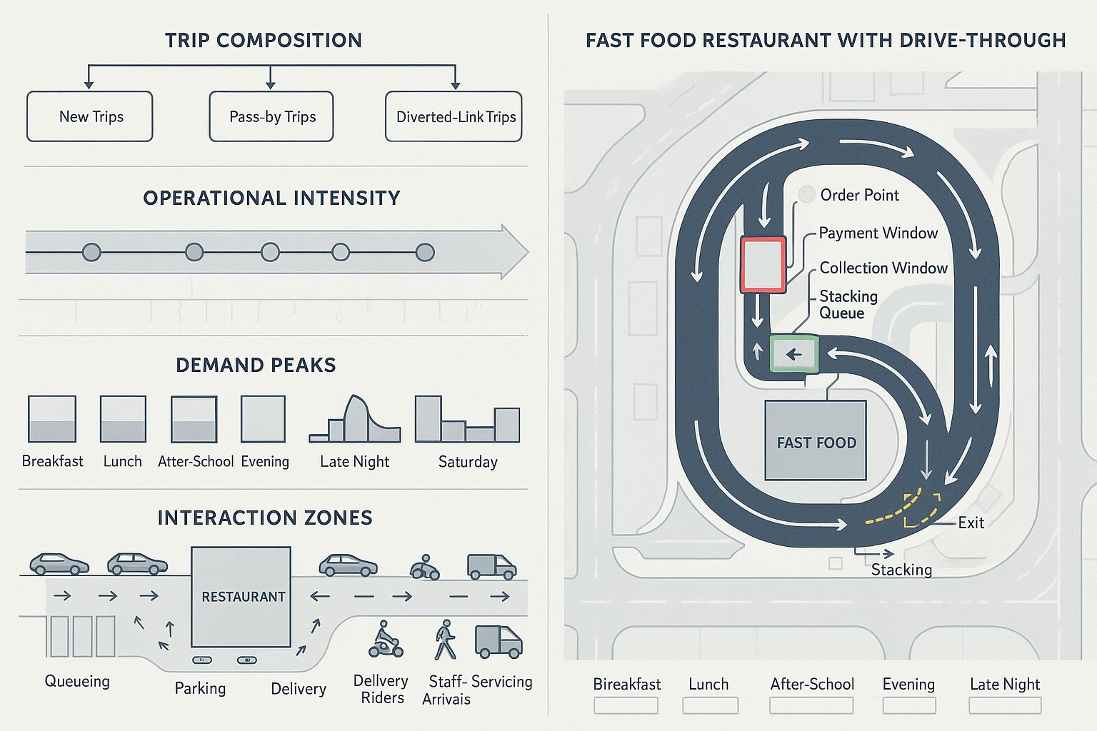
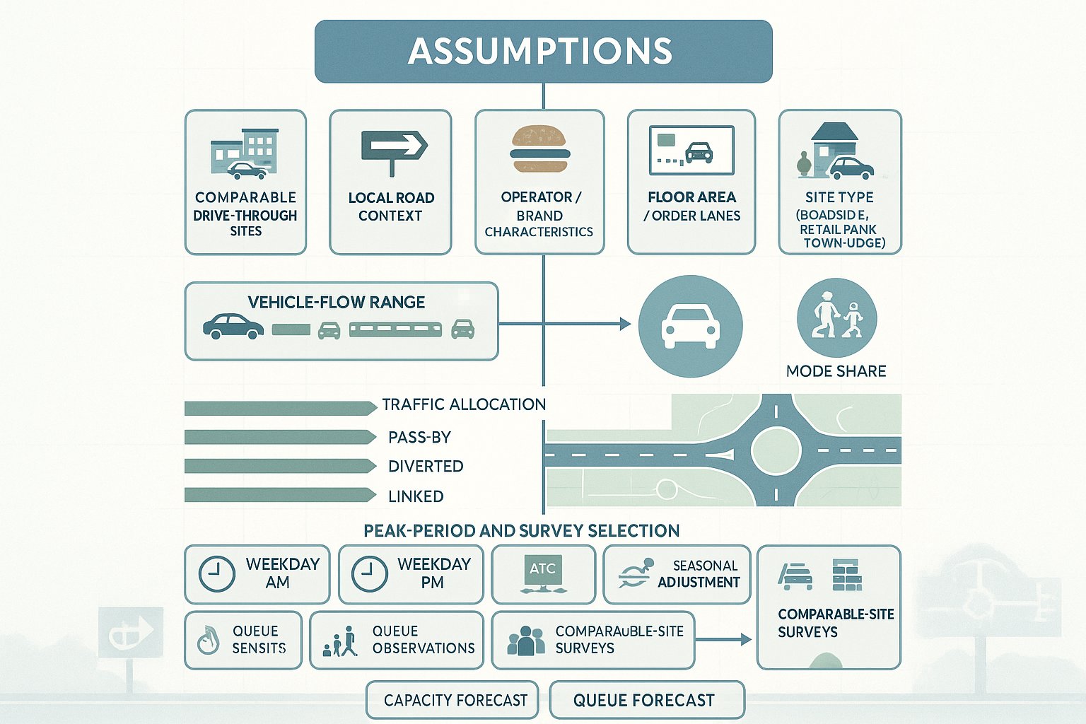
Trip generation estimates how many movements the development is likely to create, by mode and by time period. For residential schemes, vehicle trips are often derived from TRICS, supported by professional judgement and local comparators where necessary. The assumptions need to be transparent. Underplaying trip rates may save a page today, but it rarely survives scrutiny.
Trip distribution and assignment then determine where those movements will travel on the surrounding network. This may draw on census data, local journey patterns, observed turning counts, gravity modelling or agreed distribution assumptions. The result feeds future year traffic scenarios: baseline, baseline plus committed development, and baseline plus committed development plus the proposed scheme.
Junction modelling tests whether key access points and nearby nodes can accommodate those flows. Depending on the network, that might involve priority junction software, roundabout modelling, signal models or microsimulation for more complex layouts. The purpose is to understand delay, queueing and reserve capacity, then identify whether mitigation is needed.
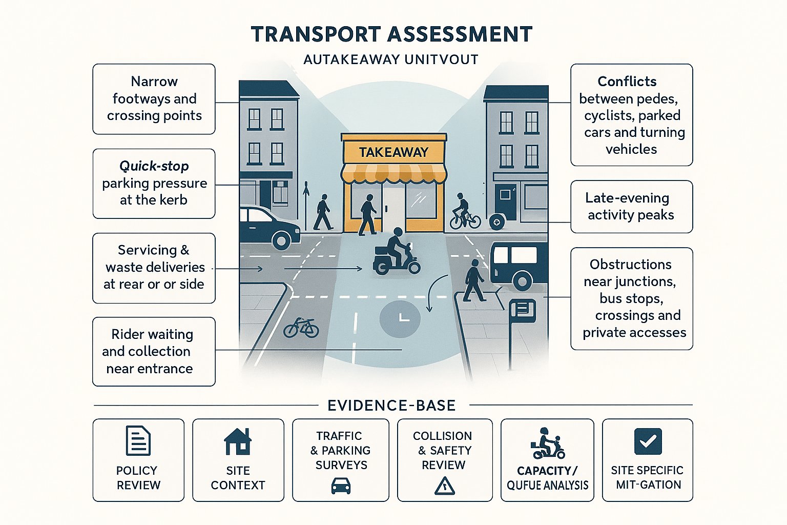
Alongside that, parking review is essential. The TA should compare proposed parking against local standards, explain visitor provision, cycle parking, EV considerations where relevant, and any reasons for deviation. Servicing, refuse collection and swept path analysis also belong here. A scheme can satisfy junction capacity yet still fail on basic operational practicality if parking and manoeuvring are not resolved.
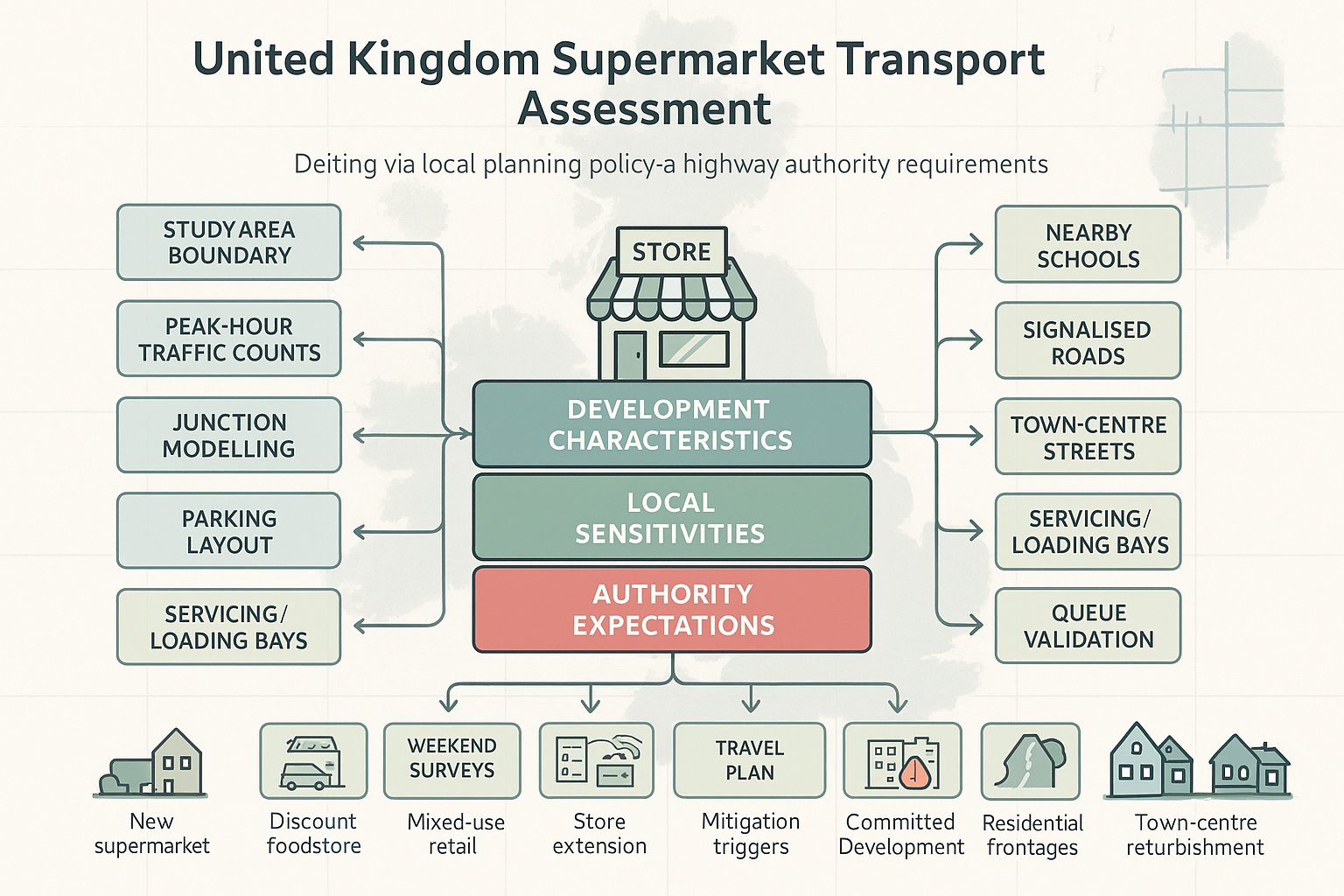
Key Guidance, Local Policy, And Authority Expectations To Consider
A residential transport assessment does not sit in a policy vacuum. The technical work only becomes useful in planning terms when it is tied back to the right guidance and the expectations of the decision-makers reviewing it.
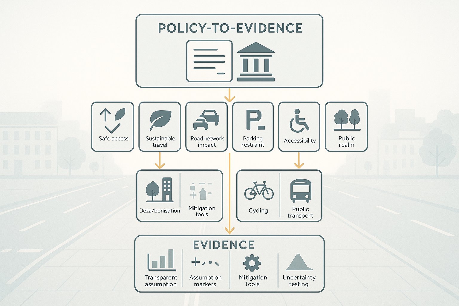
At national level, the starting point is the National Planning Policy Framework. The transport sections set the broad tests around sustainable transport, safe and suitable access, and the threshold for refusal where residual cumulative impacts on the road network would be severe or where there would be an unacceptable impact on highway safety. The wording matters. TAs should be drafted with those tests in mind, because that is how planning decisions are defended.
Then come local policies and standards. County councils and unitary authorities often publish highway design guides, parking standards, visibility requirements, adoptable road criteria and transport assessment guidance notes. Some authorities are very specific about survey age, study areas, committed development assumptions, or preferred modelling software. Others are less prescriptive but still have clear unwritten expectations, which usually emerge through pre-application discussion.
Local plan policy is equally important. A site may be acceptable in pure capacity terms but still face challenge if it does not provide adequate active travel connections, bus accessibility or parking compliance under local policy. In some authorities, the sustainable travel narrative carries significant weight: in others, junction operation and highway geometry dominate the review. Either way, the TA needs to speak the authority’s language.
This is one reason local knowledge matters so much. At ML Traffic, for example, the value is not just technical reporting speed: it is understanding how different authorities apply thresholds and what level of evidence they are likely to expect. That can make the difference between a concise, targeted submission and a report that is technically busy but strategically off-point.
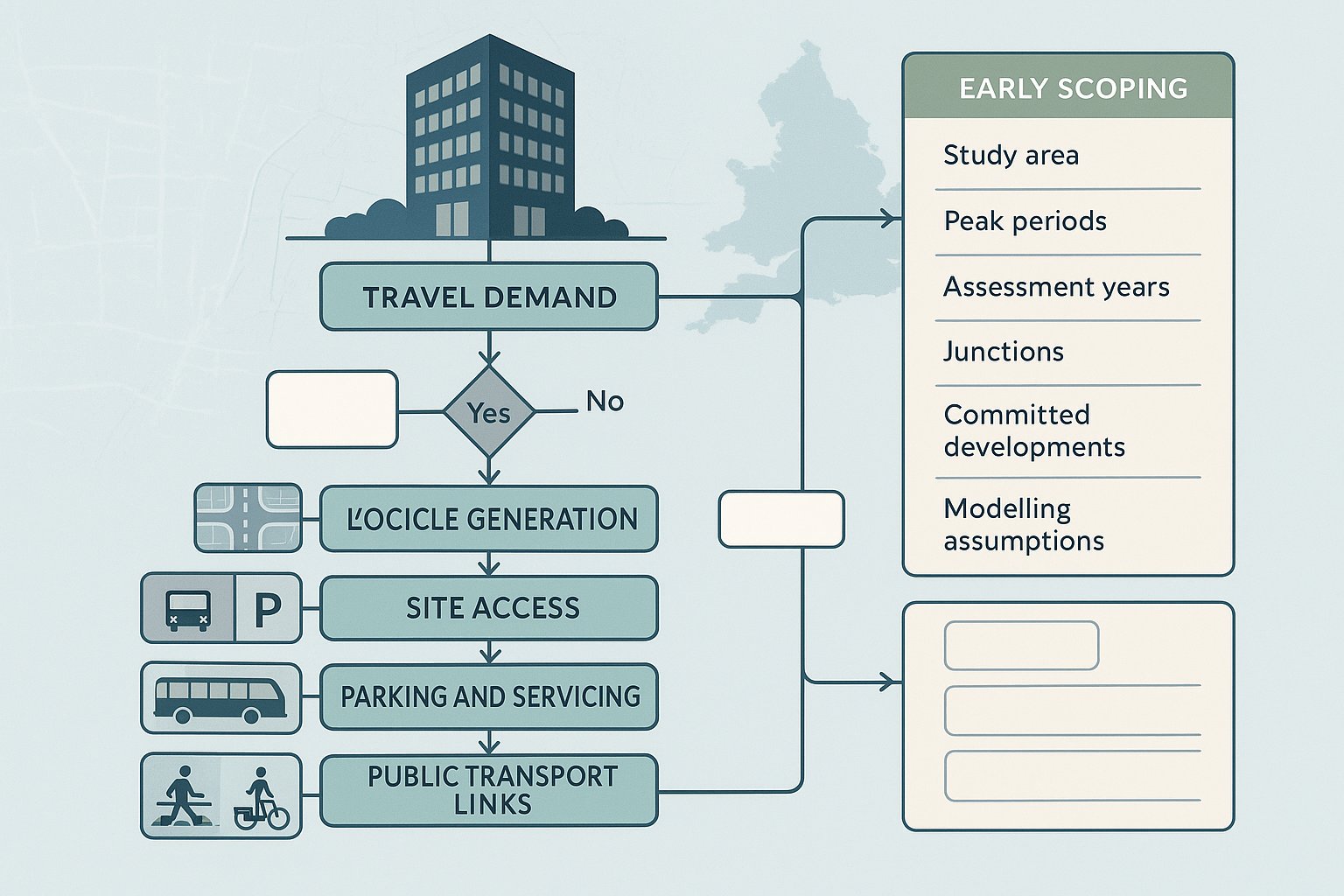
As a rule, we recommend agreeing methodology early: scope, survey locations, peak periods, future years, committed developments, accident study area, trip rates and modelling approach. That small upfront discipline saves a lot of avoidable friction later.
Common Issues That Strengthen Or Weaken A Planning Submission
Two residential TAs can cover the same site and arrive at very different planning outcomes, often because of quality rather than complexity. Authorities tend to respond well when the assessment is candid, proportionate and clearly evidenced. They become sceptical when the report feels selective.
What strengthens a submission? An agreed scope is near the top of the list. If the authority has already accepted the survey strategy, study area and modelling approach, the review becomes much smoother. Robust baseline data also helps enormously. Recent traffic counts, a sensible collision review, realistic walk and cycle auditing, and clear public transport information give the whole report credibility.
Trip generation and modelling assumptions are another dividing line. Good assessments explain why the chosen TRICS sites are comparable, how reductions have been applied, how committed development is treated, and why the tested scenarios are appropriate. They do not hide sensitivity testing. In fact, modest sensitivity testing can strengthen the case by showing the conclusions are resilient.
Design quality matters too. Safe access geometry, adequate visibility, coherent pedestrian routes, logical internal layout and practical servicing all signal that transport has been integrated with the scheme rather than bolted on. Realistic mitigation, whether off-site works, crossing upgrades, travel planning measures or contributions, also improves confidence.
What weakens a submission is just as predictable. Underestimated trip rates. Missing peak periods. Ignoring a known pressure point outside the immediate site frontage. Failing to include committed development. Treating parking as an afterthought. Or overlooking a collision pattern that local residents know all too well. Those omissions do not simply create technical disagreement: they undermine trust in the wider planning case.
One slightly awkward truth: overclaiming can be as damaging as under-analysing. If a TA insists impacts are negligible where everyone can see a mitigation package is needed, reviewers may question the rest of the evidence as well. Honest, proportionate assessment usually travels further.
How To Prepare A Residential Transport Assessment Efficiently
Efficiency is not about producing the shortest report. It is about getting to a defensible, submission-ready document without repeated redesign, duplicated surveys or avoidable rounds of comments.
The first step is early engagement. Before survey work starts, we should confirm whether the authority wants a full TA, a Transport Statement, a Travel Plan, or some combination of the three. That discussion should also settle the study area, survey scope, assessment years, committed development list, collision data extent, and likely modelling requirements. Ten minutes of clarity here can save weeks later.
Next comes coordination with the design team. Access positions, internal layout, refuse tracking, parking strategy and walking connections should evolve alongside the transport work, not after it. It is much cheaper to move a priority junction on a layout drawing in week three than after comments land on a live planning application.
For technical inputs, use recognised tools and keep assumptions transparent. TRICS remains the usual starting point for trip generation, but it should be applied thoughtfully, with sensible filtering and local judgement. Junction models should be those accepted by the authority and calibrated to agreed datasets. If sensitivity tests are needed, say so early.
Report structure matters more than people think. Authorities appreciate a TA that mirrors standard expectations and uses familiar planning language. A concise report with clear appendices, readable figures and a direct mitigation summary often performs better than a longer report that buries conclusions.
Finally, build in review time. Many weak submissions are not wrong in principle: they are simply rushed. Internal checking of figures, consistency between drawings and text, and alignment with the Design and Access Statement or Planning Statement are basic, but they prevent surprisingly common problems. Efficient delivery comes from sequencing the work properly, not from skipping steps.
Conclusion
A residential transport assessment is not just a planning attachment. For larger or more sensitive housing schemes, it is one of the documents that tells the authority whether the proposal is genuinely workable.
When prepared properly, it demonstrates safe access, tests network effects, addresses parking and servicing, and shows how the development aligns with national and local transport policy. Just as importantly, it gives planning officers and highway authorities confidence that the scheme has been examined honestly and that mitigation is deliverable.
The practical lesson is simple: scope early, use robust data, align the transport work with the evolving design, and write the report around the authority’s actual concerns. That approach reduces objections, cuts down requests for further information and supports faster, better-informed decisions.
In 2026, the schemes that move most smoothly through planning are rarely the ones with no transport impacts at all. They are the ones where those impacts are understood, evidenced and dealt with proportionately from the outset.
Residential Transport Assessment FAQs
What is a residential transport assessment, and when is it required?
A residential transport assessment (TA) is a comprehensive report evaluating transport impacts of a proposed housing development. It is usually required for larger schemes or developments in sensitive locations expected to generate significant traffic movements, as agreed with the local highway authority.
How does a residential transport assessment differ from a transport statement or a travel plan?
A TA is a detailed, multi-modal evaluation including capacity tests and mitigation. A transport statement is a lighter report for smaller, lower-impact schemes. A travel plan focuses on influencing future travel behaviour and promoting sustainable transport once the development is occupied.
Why are residential transport assessments important in the planning process?
They provide structured evidence to demonstrate safe access, acceptable network impacts, and compliance with national and local transport policies. This helps avoid severe residual effects on highways, reduces objections and delays, and supports proportionate mitigation measures.
What key elements are typically included in a residential transport assessment?
Core components include site access and baseline highway conditions, personal injury collision data, multi-modal trip generation and distribution, junction capacity modelling, parking and servicing reviews, and recommendations for mitigation aligned with planning policy.
How can developers ensure their residential transport assessment is efficient and effective?
Early engagement with the local highway authority to agree scope, using recognised tools like TRICS and accepted modelling software, aligning the TA with evolving design, and producing a clear, well-structured report reduces delays and objections.
What common pitfalls should be avoided when preparing a residential transport assessment?
Avoid underestimating trip generation, missing peak period analyses, ignoring committed developments or known safety issues, and failing to comply with parking standards. Overclaiming minimal impacts can also undermine credibility with authorities.