Finsbury Park is the sort of location where a development can look perfectly sensible on a drawing set and still run into trouble the moment transport and highway questions land on the table. Tight frontages, busy junctions, constrained servicing, high pedestrian demand, cycle movement, buses, resident parking pressure, it all adds up quickly. In that setting, bringing in a Traffic Engineer in Finsbury Park is rarely a box-ticking exercise. It is usually the difference between a transport submission that feels coordinated and one that gets pulled apart in review.
We work with architects, planners, surveyors, lawyers, builders, developers, and consultant teams who need clear answers early: will the access work, is a Transport Statement enough, can refuse vehicles turn, is cycle parking acceptable, and what is the likely local authority response? Those questions matter because planning officers and highway officers are not simply asking whether vehicles can get in and out. They are asking whether a proposal functions safely, supports active travel, protects the street environment, and aligns with local policy.
This article explains where traffic engineering input is usually needed for Finsbury Park schemes in 2026, what technical reports are commonly expected, and how we prepare concise, decision-ready transport advice that helps project teams move with fewer delays and fewer avoidable redesigns.
Key Takeaways
- Hiring a Traffic Engineer in Finsbury Park is essential for ensuring development proposals address complex local transport challenges effectively.
- Early involvement of a traffic engineer helps identify access, servicing, parking, and safety issues and aligns transport reports with local authority expectations.
- Transport submissions should be coordinated and comprehensive, covering multimodal movement, trip generation, and operational safety to avoid delays and objections.
- Delivery and servicing strategies must demonstrate safe, legal vehicle movements without reliance on informal highway use, especially on constrained urban sites.
- Strong transport advice integrates with design and planning documents, supporting active travel and meeting specific local policies to enhance planning approval chances.
- Providing clear project details and real site constraints upfront streamlines traffic engineering input and improves the quality and relevance of transport advice.
Why Traffic Engineering Matters For Development In Finsbury Park
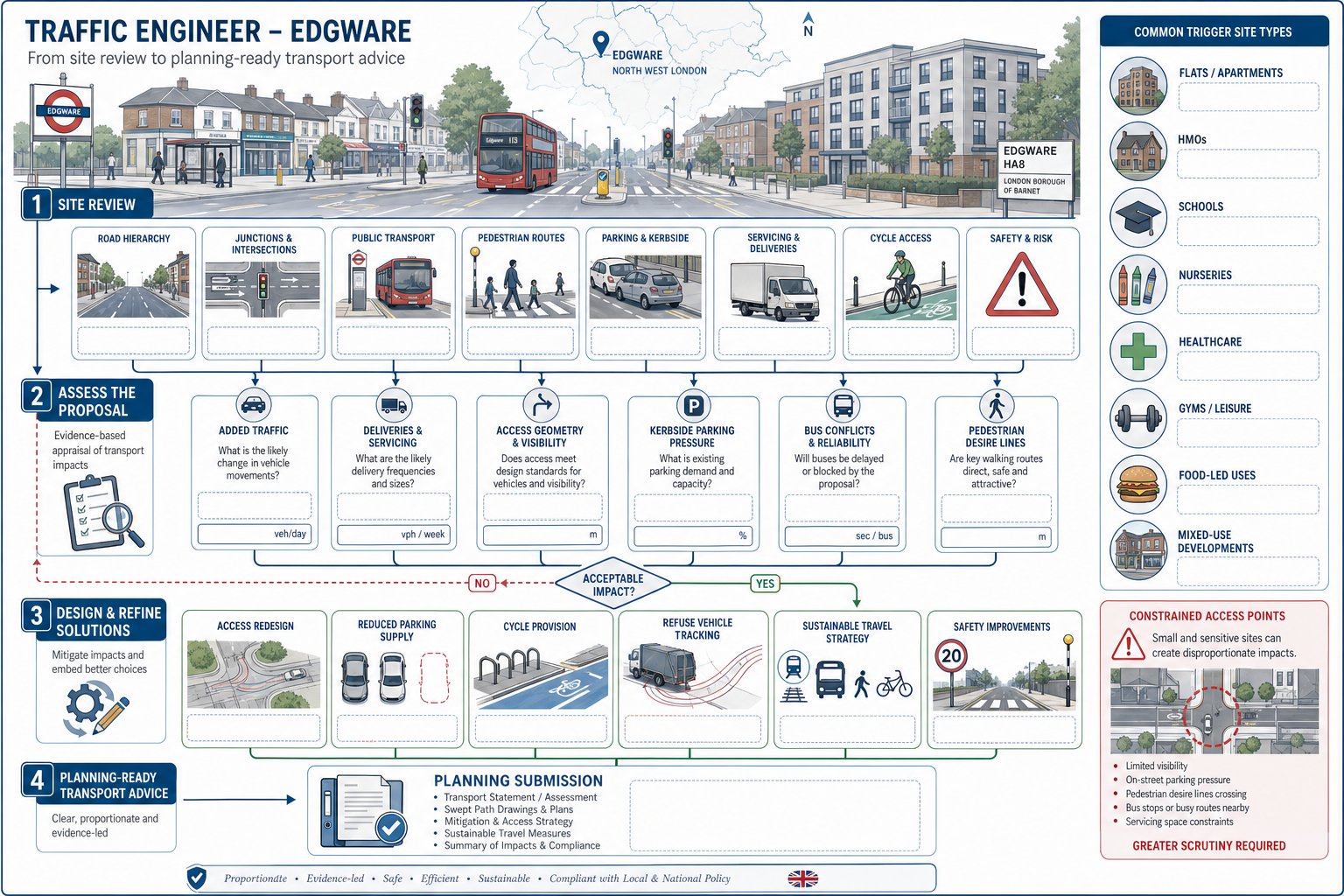
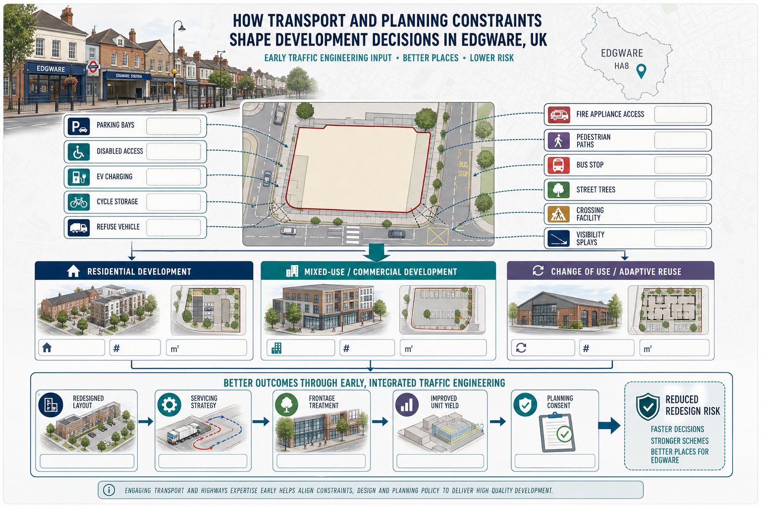
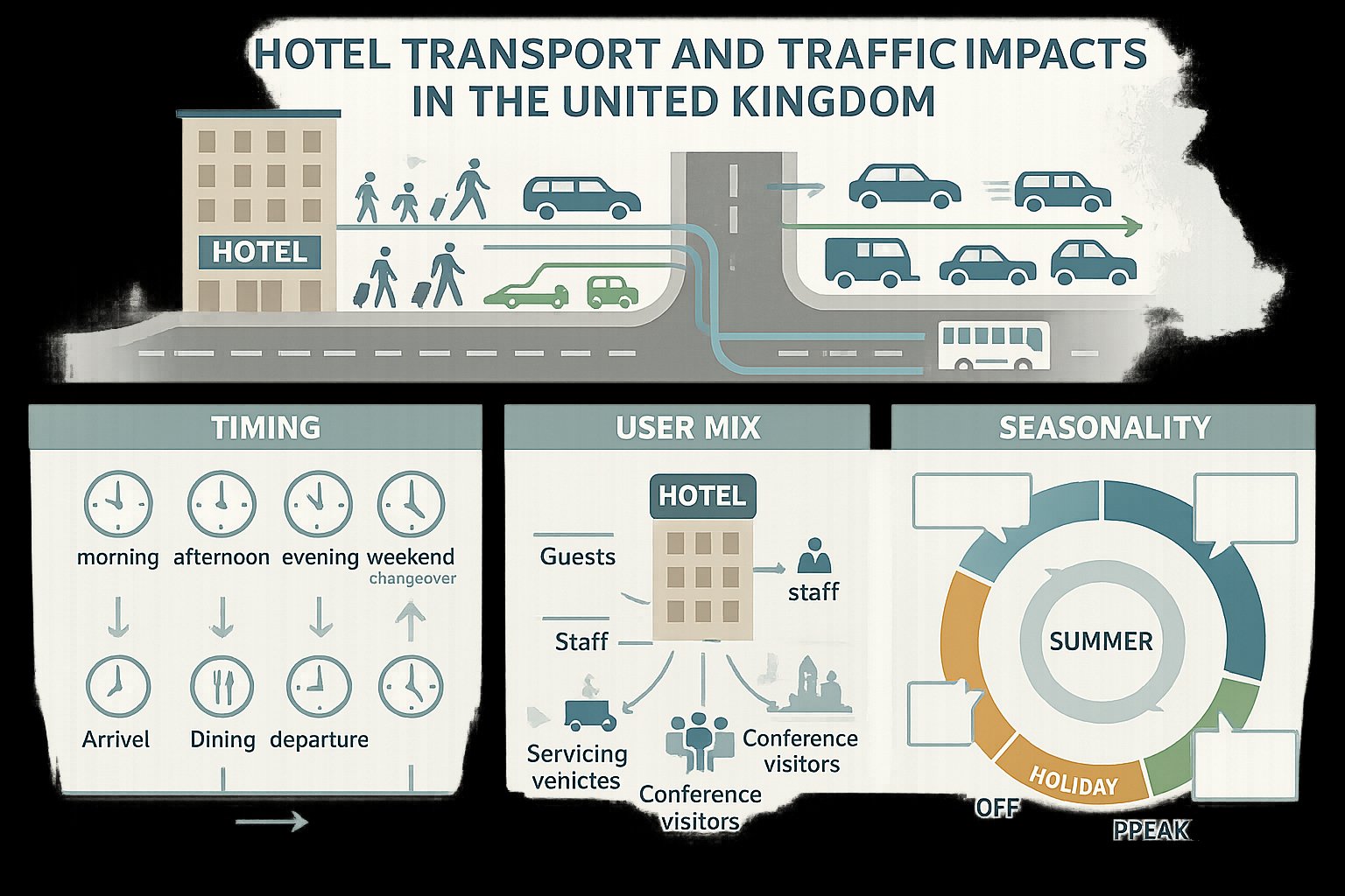
Finsbury Park sits within a dense North London transport environment where development pressure meets limited road space. That has a direct effect on planning strategy. Even modest proposals can trigger questions around access arrangements, servicing, kerbside activity, pedestrian comfort, cycle provision, and cumulative traffic impact.
In practice, traffic engineering matters because it translates a design proposal into how the site will actually operate day to day. A planning authority wants to know whether residents, customers, staff, delivery drivers, refuse vehicles, and vulnerable road users can all use the scheme safely and efficiently. If that operational story is weak, the planning risk rises.
For urban schemes, the focus is not only on car trips. It is often more about multimodal movement: walking routes to public transport, cycle parking quality, servicing windows, loading activity, and whether the development creates friction on already busy streets. That is why a robust transport response should be built into the design process rather than added at the end.
Our role is usually to identify likely transport issues early, scope the right level of reporting, and align submissions with local authority expectations. That broader planning-led approach is central to modern Traffic Engineering Consultants: work, particularly where urban sites are sensitive and margin for error is small.
Local Transport And Highway Issues That Commonly Affect Finsbury Park Sites
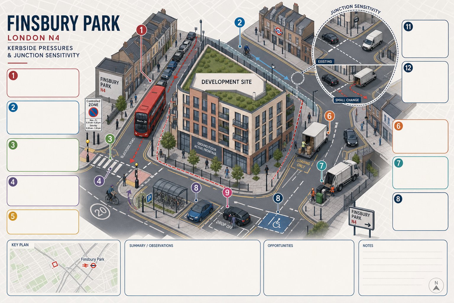
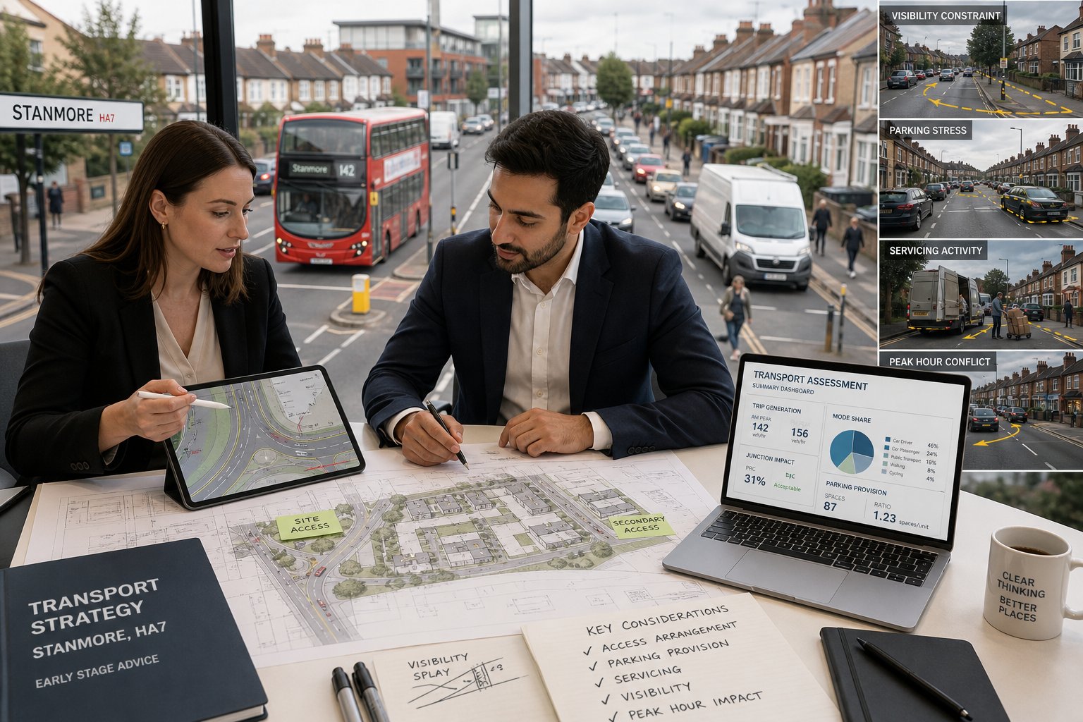
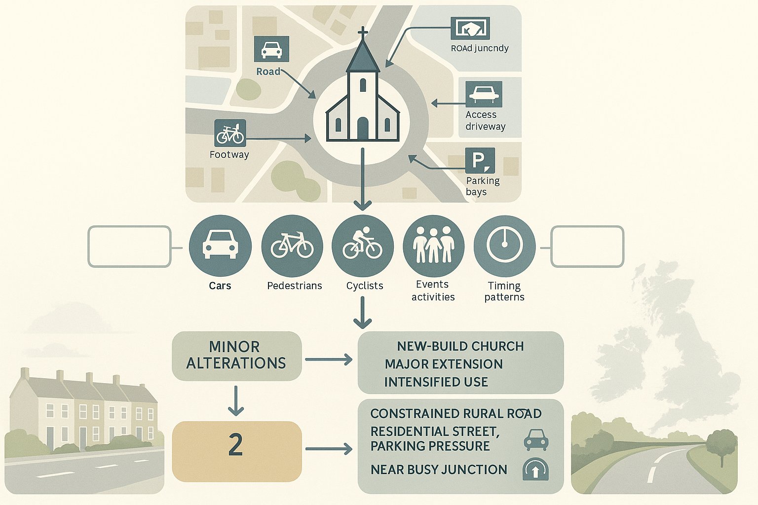
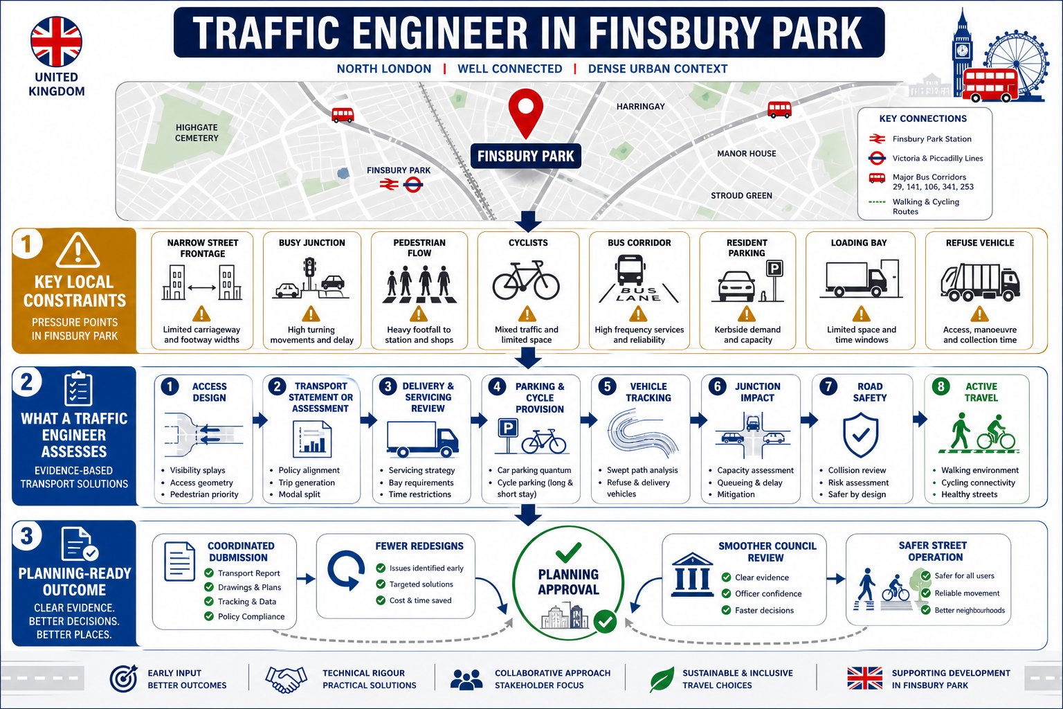
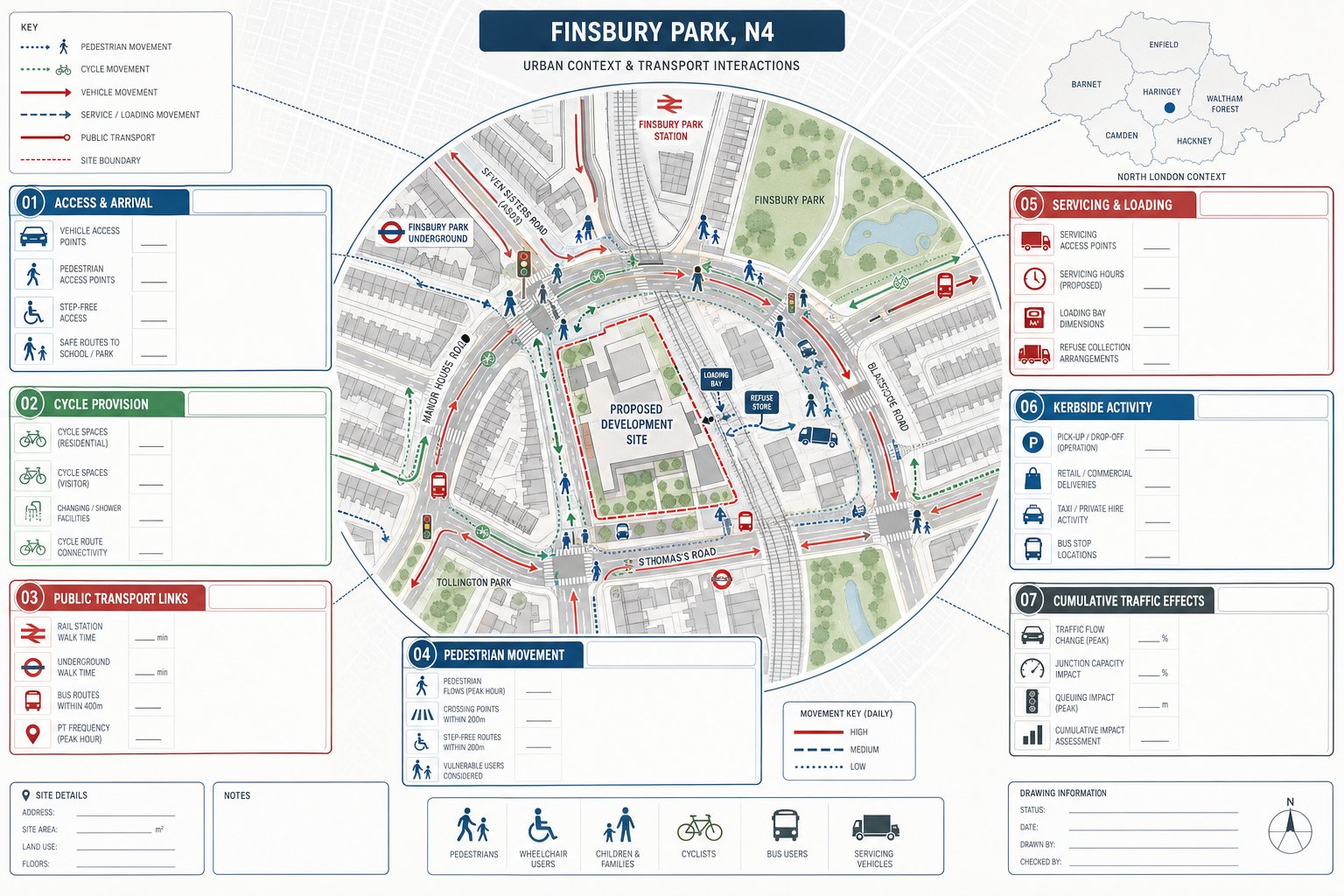
A Finsbury Park site can be affected by several overlapping transport constraints at once. The obvious one is street geometry. Many plots sit on roads with narrow carriageways, restricted visibility, high parking demand, or limited space for vehicles to wait without causing obstruction. But the less obvious issues are often the ones that slow applications down.
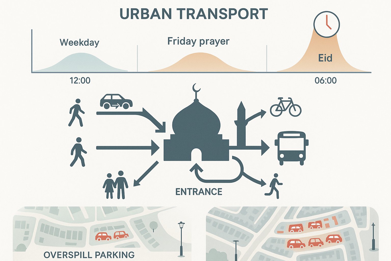
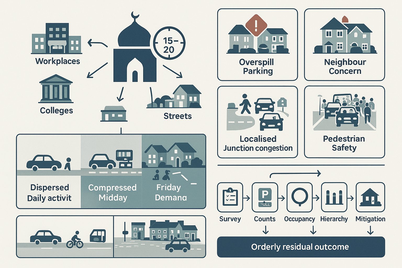
Kerbside competition is a frequent problem. The same frontage may need to accommodate pedestrian movement, cycle activity, bus operations nearby, resident parking controls, deliveries, and refuse collection. If a proposal depends on ad hoc loading or informal stopping behaviour, it can be challenged quickly.
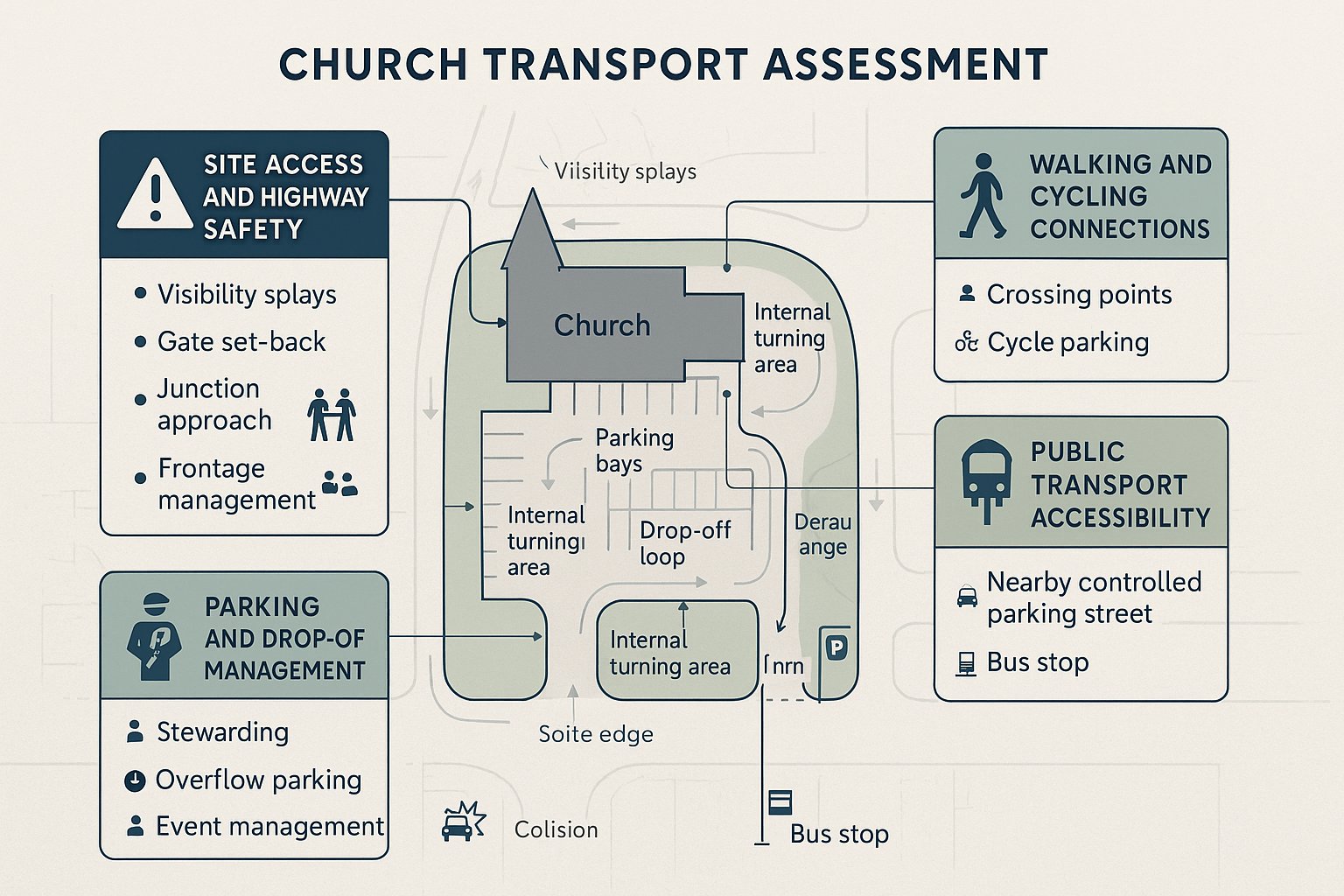
Public transport accessibility is usually strong, which can help support lower parking provision. Even so, that does not remove the need to prove the layout works. Councils often still expect clarity on blue badge access, drop-off arrangements where relevant, and cycle parking that is convenient rather than tokenistic.
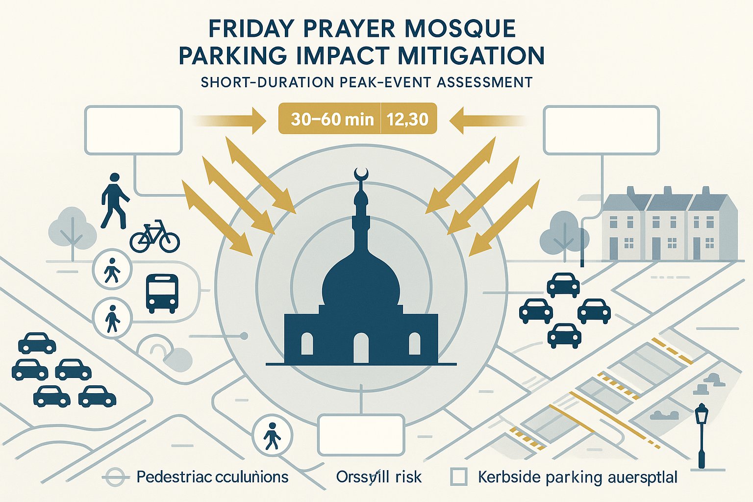
Local junction sensitivity is another recurring issue. A small change in turning activity or servicing behaviour can have a disproportionate effect where traffic already operates in tight gaps. That is why site-specific review matters. Broad guidance from a Traffic Engineer In London: perspective is useful, but Finsbury Park schemes still need location-led judgement based on frontage conditions, nearby uses, and the actual operating pattern of the proposal.
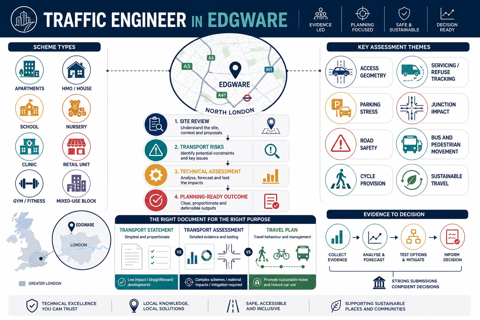
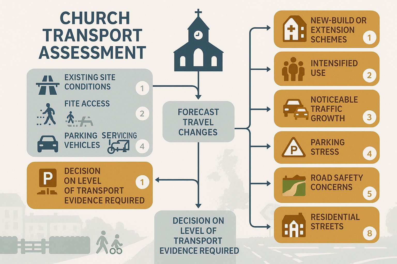
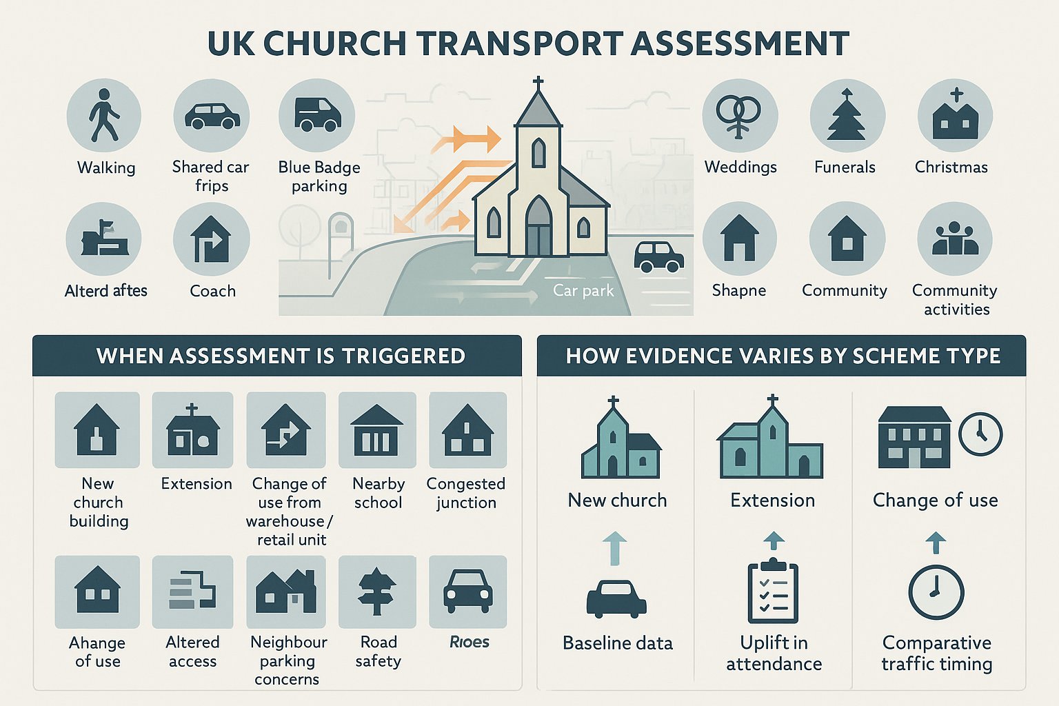
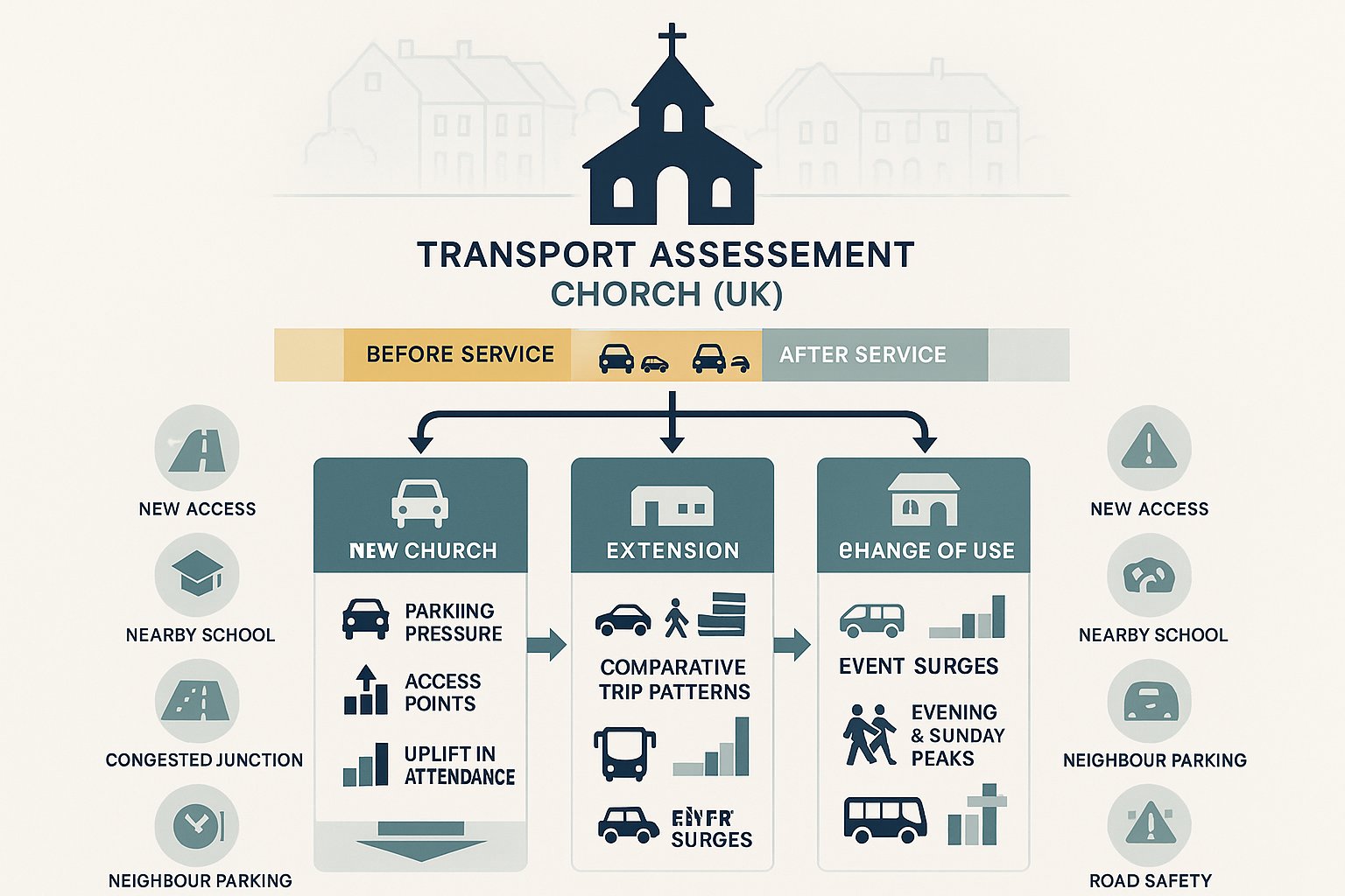
Planning Applications That Often Require Traffic Engineering Input
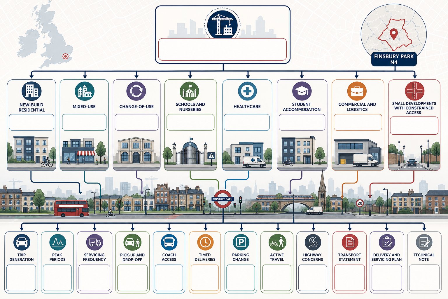
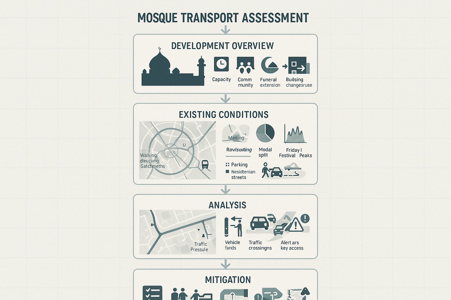
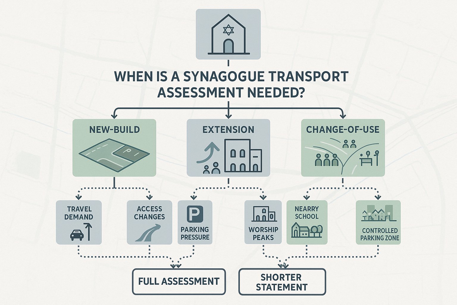
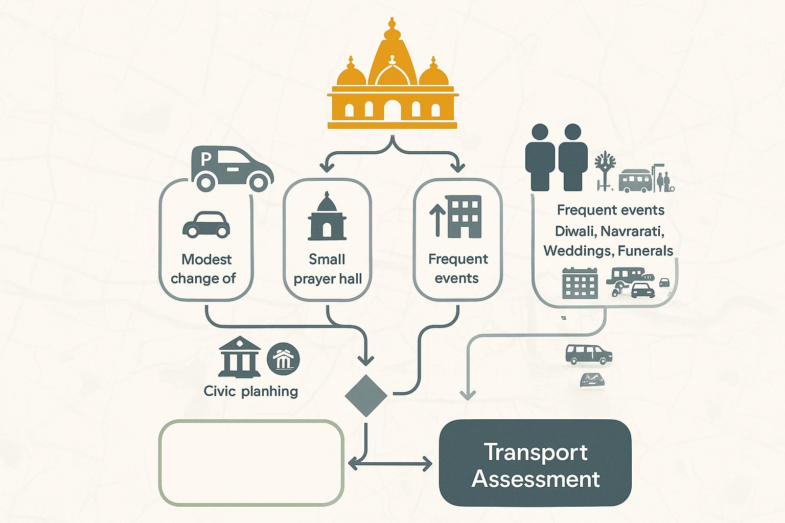
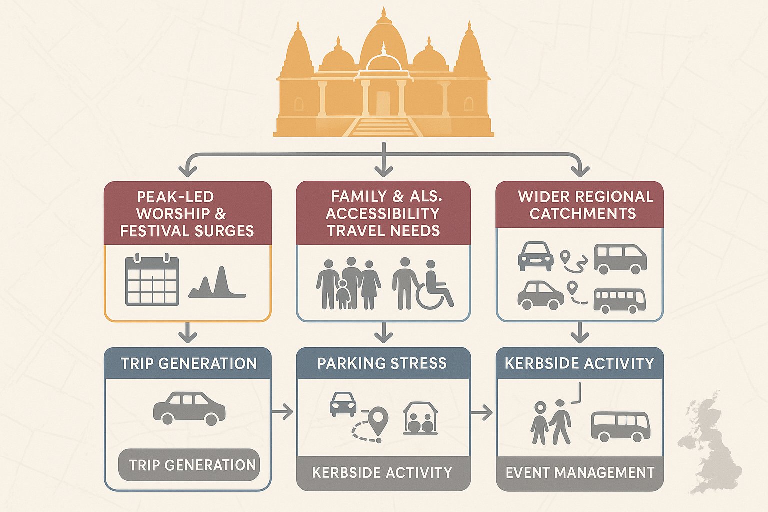
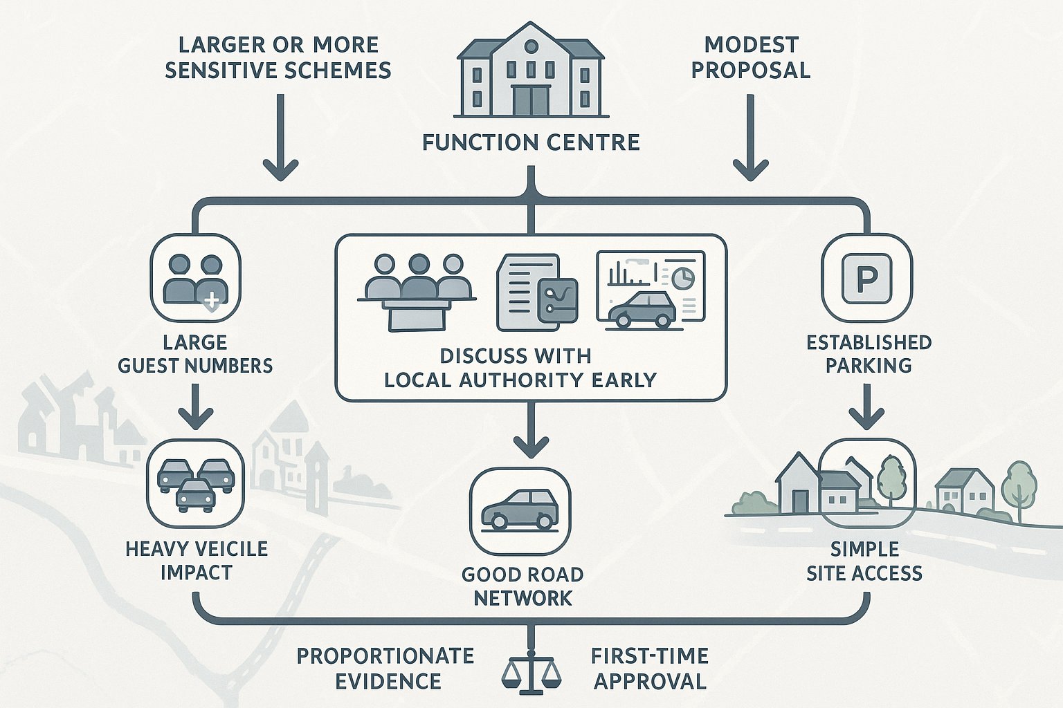
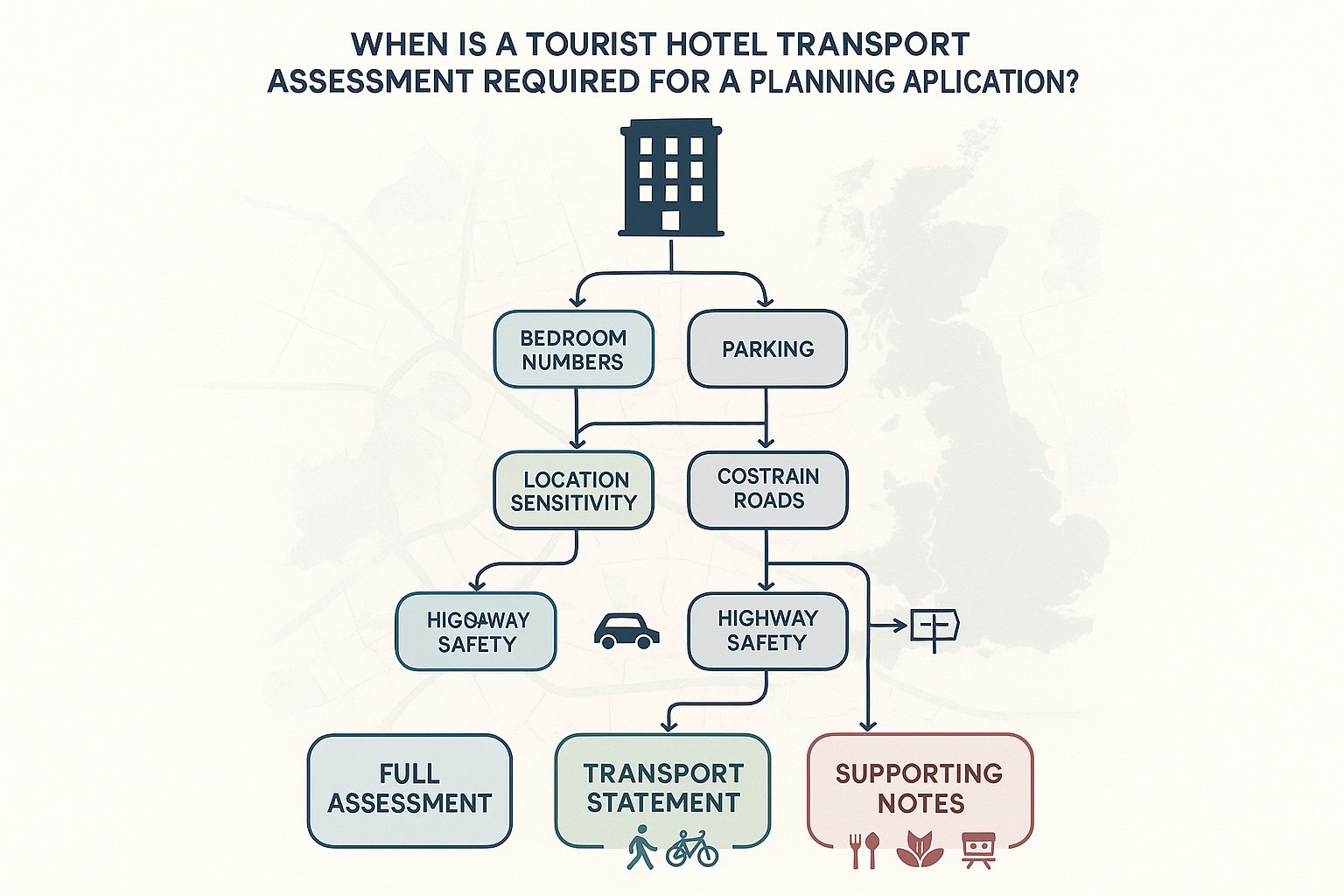
Not every scheme needs a full Transport Assessment, but many planning applications in Finsbury Park benefit from traffic engineering input far earlier than teams expect. New-build residential schemes are an obvious category, especially where new access points, parking changes, servicing needs, or intensified trip demand are involved. Mixed-use development also commonly needs review because different land uses create different peak periods, delivery patterns, and user profiles.
Change-of-use applications can be just as transport-sensitive. A unit shifting from light office occupation to food retail, clinic use, gym space, or education-related activity may alter servicing frequency, trip generation, and pick-up or drop-off behaviour significantly. That can trigger the need for a Transport Statement, Delivery and Servicing Plan, or targeted technical note.
Schools, nurseries, healthcare uses, student accommodation, and commercial schemes often require especially careful handling. These proposals can raise practical questions around coach access, parent drop-off pressure, timed deliveries, and active travel infrastructure.
Even relatively small developments may require support where an existing access is substandard, where parking numbers are changing materially, or where a highway authority has already raised concerns in pre-application feedback. For developer teams dealing with employment space, logistics, and urban mixed-use plots, the principles discussed in Commercial Traffic Engineering are often directly relevant to how applications are scoped and defended.
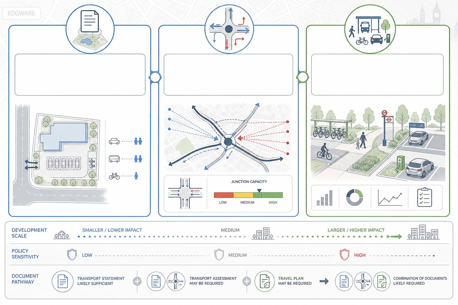
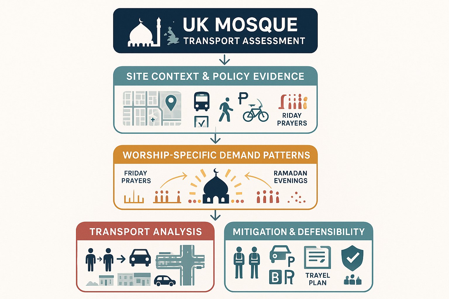
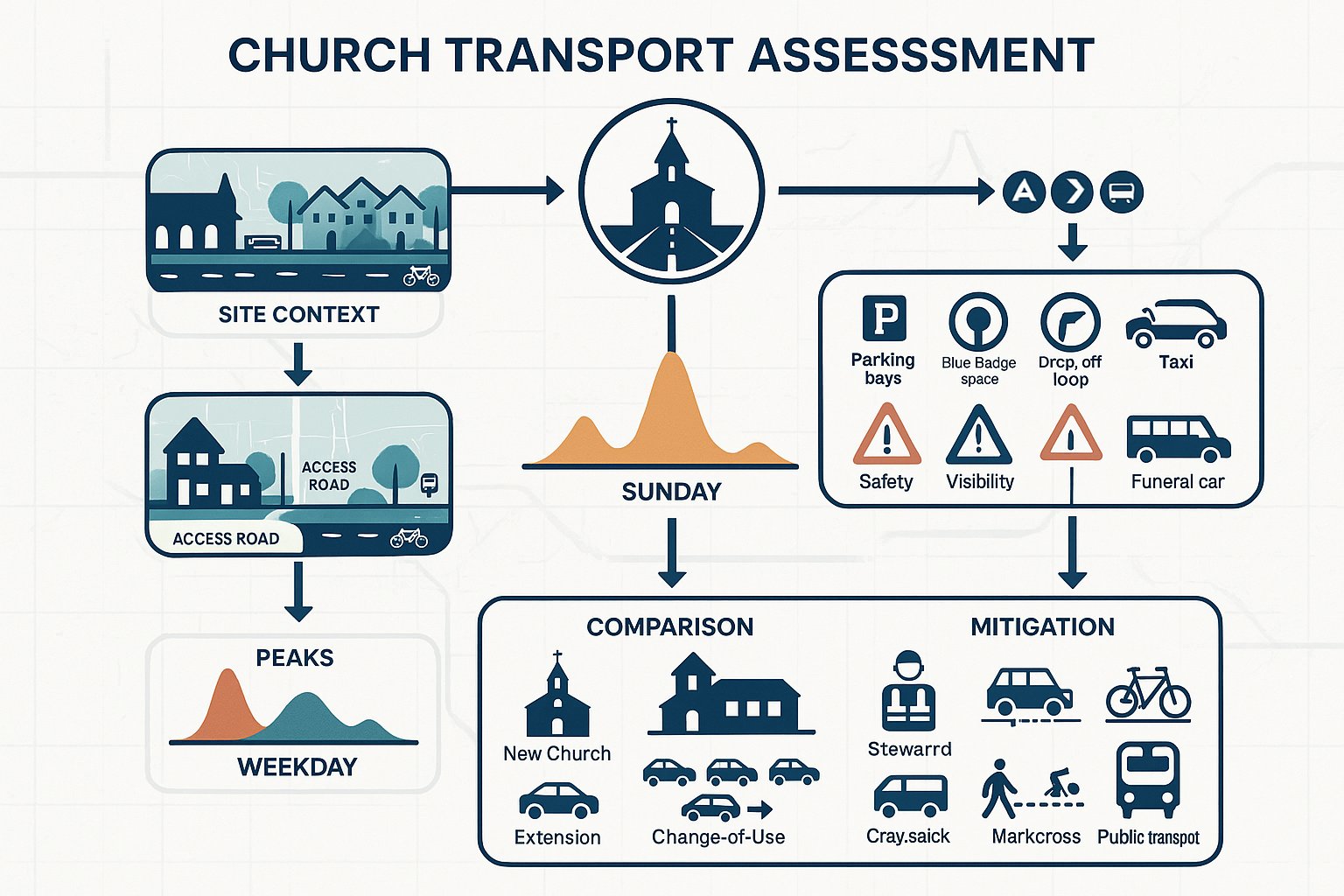
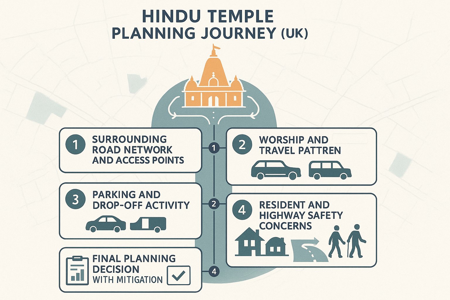
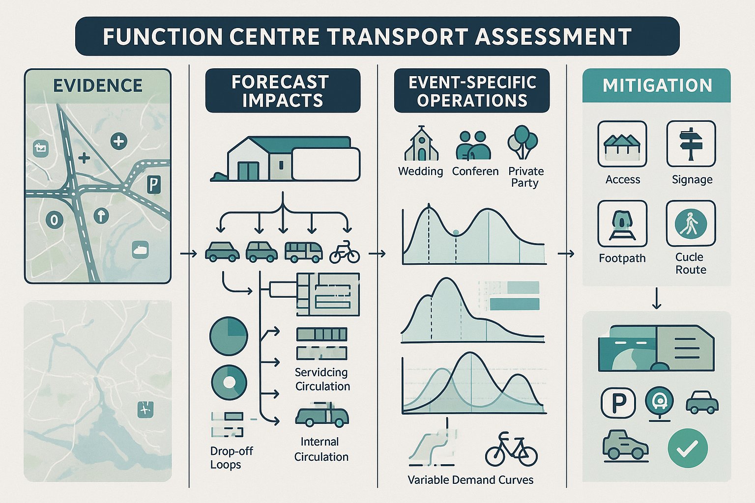
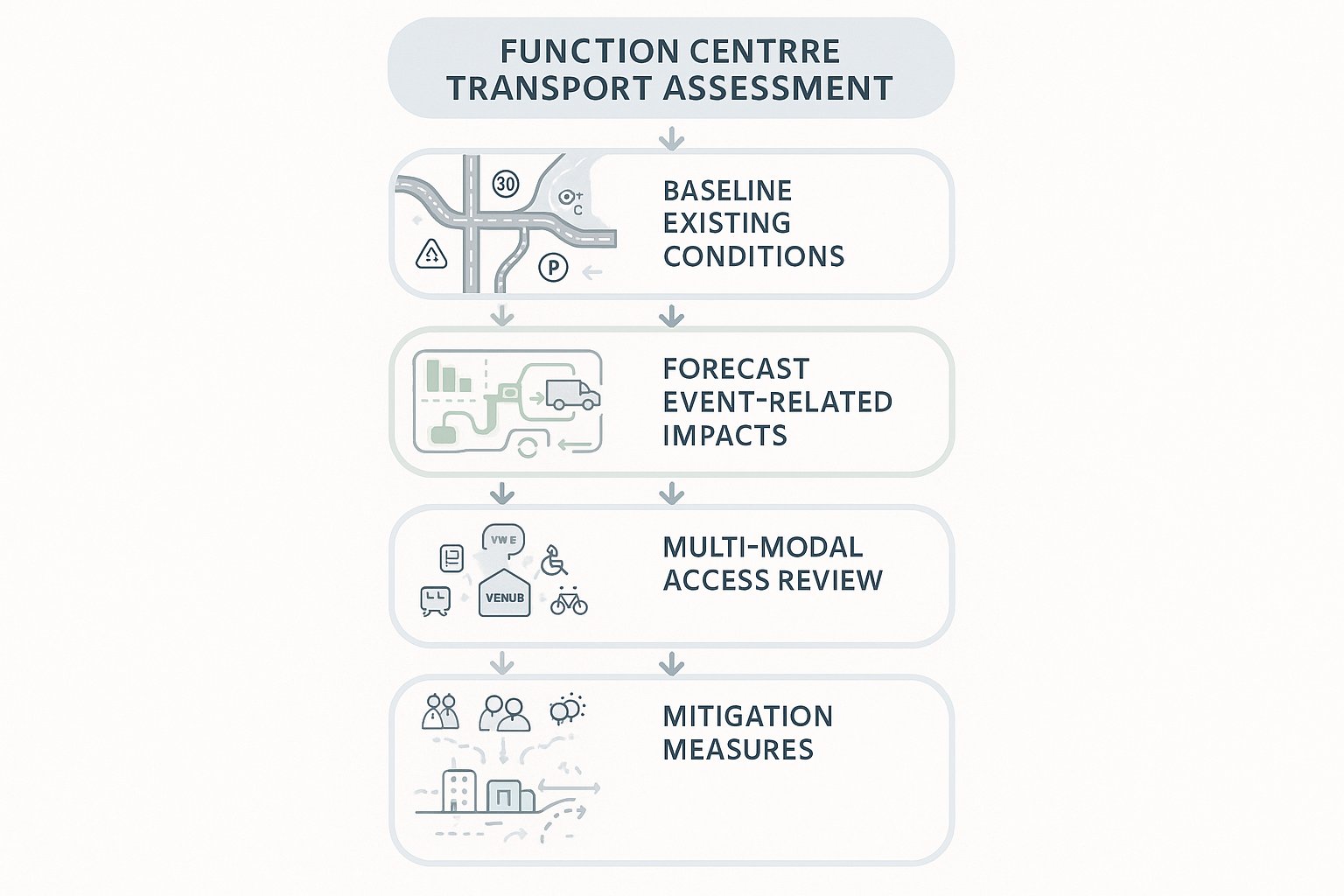
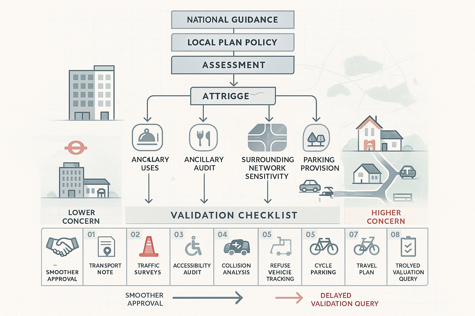
Transport Assessment, Transport Statement, And Travel Plan Requirements
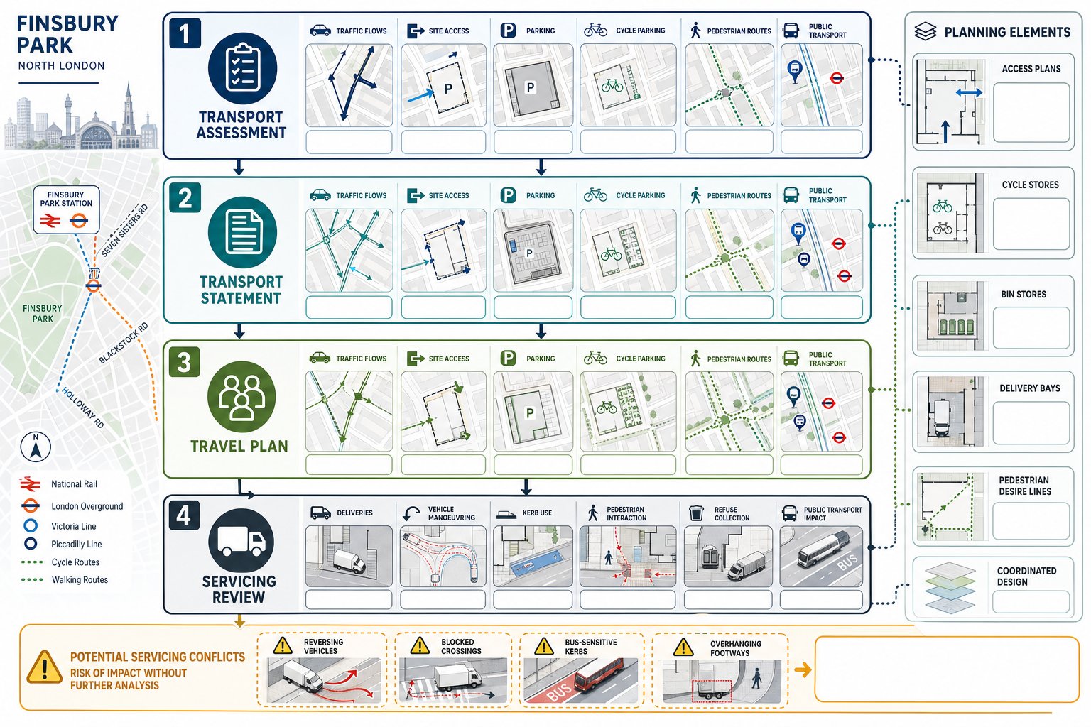
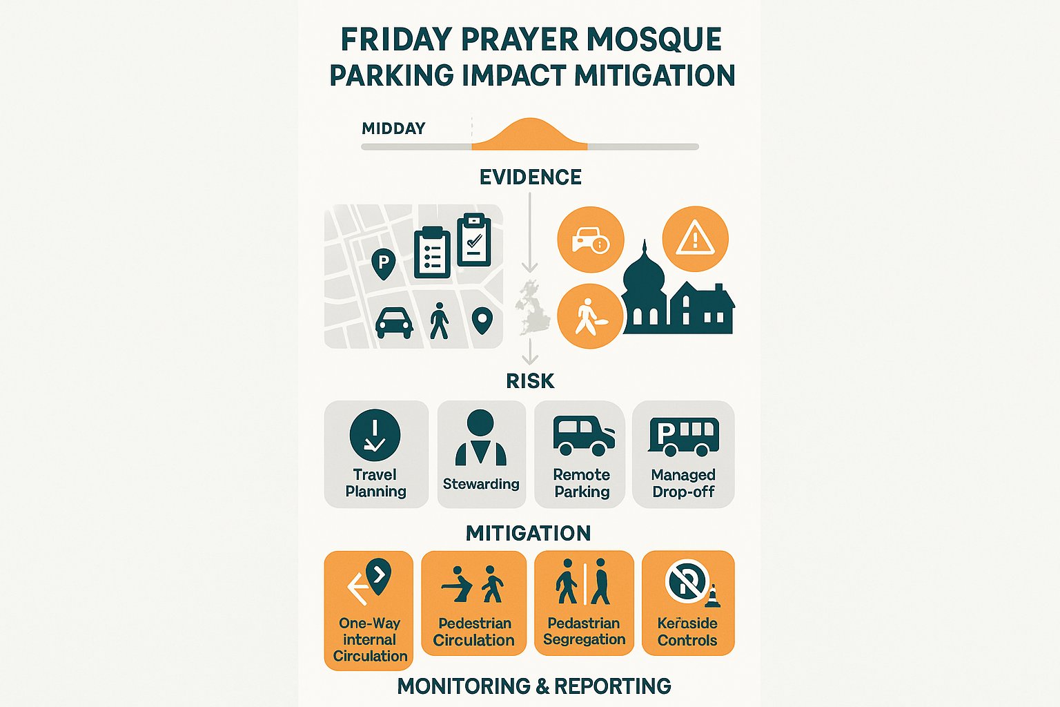
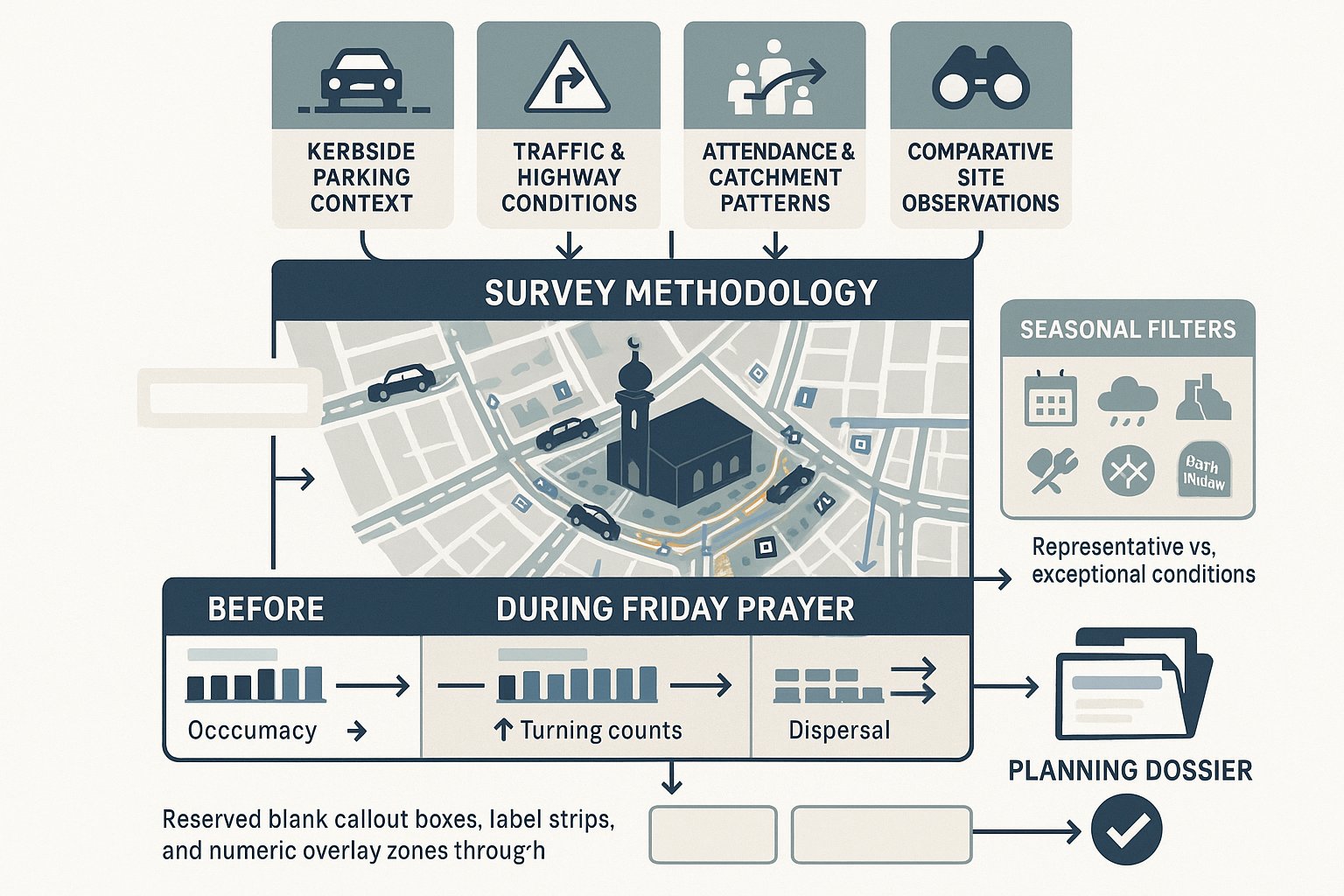
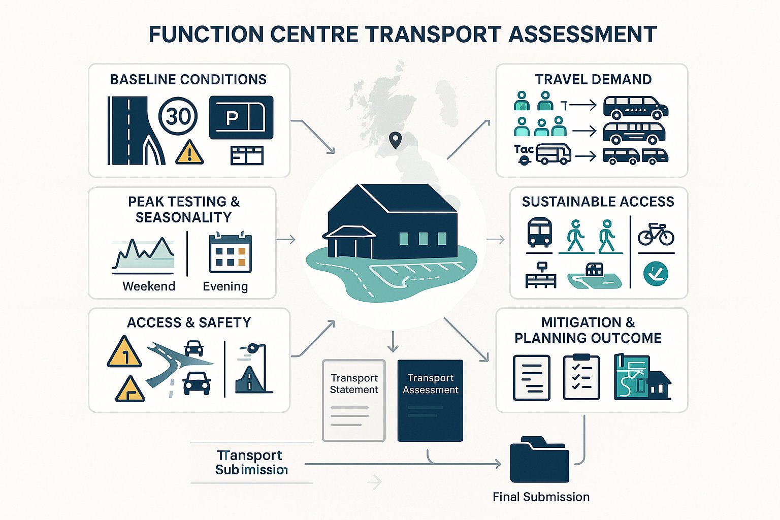
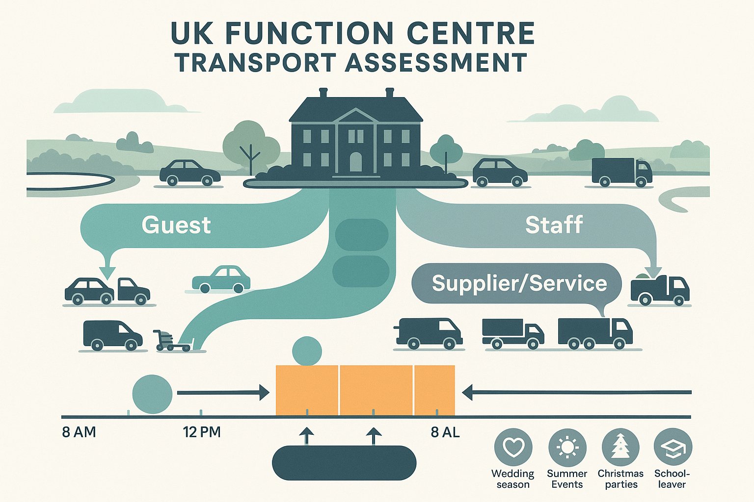
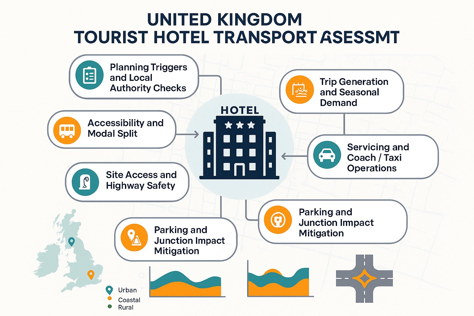
The right report depends on the scale, nature, and context of the proposal. Broadly, a Transport Assessment is used for schemes with more substantial transport implications. It looks in detail at existing conditions, trip generation, distribution and assignment, access strategy, servicing, parking, cycle provision, and likely network effects. A Transport Statement is typically shorter and more proportionate for smaller or less impactful developments, but it still needs to be evidence-led and tailored to the site.
Travel Plans sit alongside these documents where sustainable travel measures need to be formalised. In Finsbury Park, they can be particularly important because authorities are often keen to show that developments support walking, cycling, and public transport use rather than defaulting to private car demand. A good Travel Plan is specific. It should describe real measures, realistic mode share assumptions, and implementation responsibility, not generic promises.
The strongest submissions connect the transport narrative to the architecture and planning case. That means access plans, cycle stores, bin stores, delivery space, and pedestrian routes must all line up across the package. Where they do not, transport comments tend to arrive fast.
We generally scope reports to local thresholds and planning context, drawing on the wider discipline set out in Traffic Engineering: Your approach while keeping the final submission concise and proportionate.
When A Delivery And Servicing Review Is Needed
A delivery and servicing review is usually needed when regular vehicle movements are essential to the operation of the site and there is any realistic question about how those movements will occur. That includes retail units, food and beverage uses, hotels, student schemes, care-related uses, and larger residential developments with frequent parcel activity or managed waste collection.
In Finsbury Park, the issue is rarely just whether a van can reach the property. The real question is whether it can do so legally, safely, and without relying on behaviour the highway authority will not accept. If vehicles need to reverse onto the road, stop in a bus-sensitive location, block a crossing desire line, or overhang the footway, the servicing strategy may fail.
A useful review normally covers vehicle types, frequency, timing, loading location, swept-path feasibility, conflict points, and management measures. Where site constraints are severe, operational controls can matter as much as geometry.
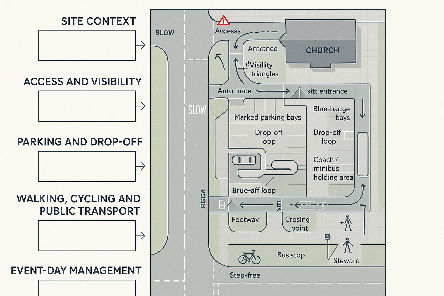
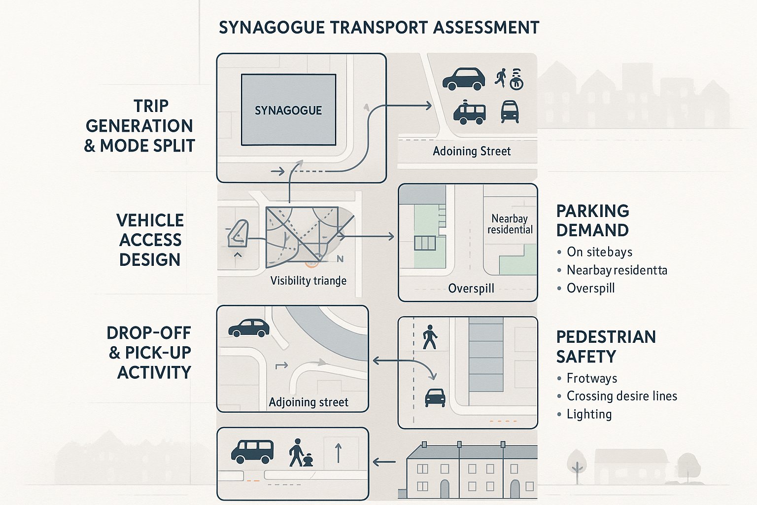
How Parking, Cycle Provision, And Access Are Typically Assessed
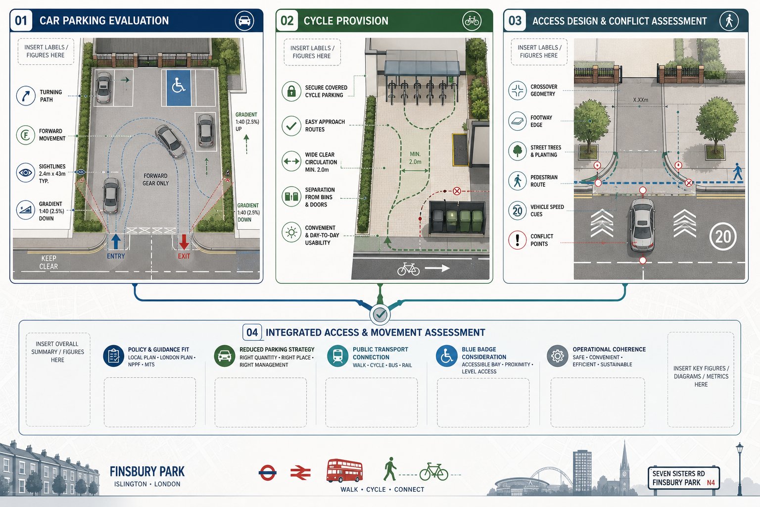
Parking and access assessment in Finsbury Park is rarely a simple numbers exercise. Yes, planning policy and local standards matter. But officers also look closely at usability. A parking space that technically fits on a plan but requires awkward manoeuvring, creates conflict with pedestrians, or cannot be used independently may not carry much weight in review.
For car parking, the assessment usually covers quantity, allocation, disabled provision, turning space, entry and exit arrangement, gradient, visibility, and whether vehicles can leave in forward gear where expected. For cycle parking, quality is just as important as capacity. Stores should be convenient, secure, accessible, and designed around genuine day-to-day use. If residents must drag cycles through a narrow corridor past bins and doors, objections are predictable.
Access review typically considers the geometry of the proposed crossover or entrance, the relationship with footways and street trees, likely vehicle speeds, and whether the arrangement is legible for all users. In an urban environment, tiny design decisions can have outsized consequences.
Where schemes lean on reduced car parking or car-free positioning, the supporting narrative needs to be strong. Policy alignment, public transport accessibility, blue badge arrangements, and cycle quality all need to work together. A focused parking strategy traffic review often helps avoid the common trap of treating parking provision as detached from the wider operational case.
Vehicle Tracking And Refuse Vehicle Access For Constrained Urban Sites
Swept-path analysis becomes critical on constrained sites because assumptions are not enough. If a refuse vehicle, fire appliance, or delivery vehicle must enter the site or manoeuvre close to structures, walls, gates, or parked cars, the movement needs to be demonstrated clearly.
In Finsbury Park, the most common problems involve tight archways, narrow forecourts, basement ramps, shared surfaces, and turning heads that work only if every bay is empty. That is not a robust planning position. Councils and waste teams tend to ask whether the largest regular vehicle can enter, turn if necessary, load or collect safely, and leave without dangerous reversing or dependence on informal highway stopping.
Refuse strategy is often where design coordination shows its strengths or weaknesses. The tracking output has to align with the bin store location, drag distances where relevant, collection point strategy, and street management arrangements. If those documents contradict each other, report revisions follow.
We usually recommend testing realistic vehicle types rather than idealised ones, and doing it early enough for layout changes to remain possible. Similar principles apply across urban schemes beyond London, whether the job resembles a Traffic Engineer In Leeds: project with constrained access or another dense city-centre site where service movements shape the entire layout.
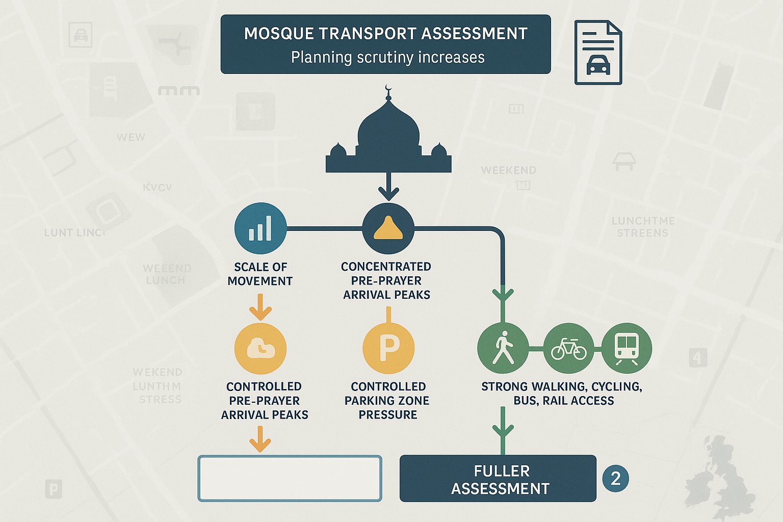
Junction Capacity, Trip Generation, And Traffic Impact Analysis
Traffic impact analysis is often less dramatic than people fear, but it does need to be credible. The starting point is trip generation: how many movements the proposed development is likely to create by mode and by time period. That estimate should reflect the land use, scale, local transport context, and realistic travel behaviour, not just a copied benchmark.
From there, we consider where trips are likely to come from and go to, whether the proposal materially changes turning flows, and whether nearby junctions or access points are sensitive enough to warrant capacity testing. In Finsbury Park, some sites generate only a limited highway effect because of excellent public transport access and low parking provision. Others have a sharper local impact because servicing, drop-off activity, or turning patterns are concentrated at constrained points.
Capacity assessment may involve junction modelling, queue review, or more proportionate operational commentary depending on the scheme. The key is proportionality. Over-modelling wastes time: under-evidencing invites challenge.
Trip assumptions often come under scrutiny, especially for mixed-use or atypical schemes. That is why we explain methodology plainly and tie it back to the planning case. A well-structured assessment should show not just the numbers, but why those numbers make sense in this location and for this development type.
Road Safety, Visibility, And Active Travel Considerations
Safety review in Finsbury Park goes well beyond checking whether a vehicle can physically emerge from a site. We need to understand who is using the street, how fast vehicles move, where pedestrian desire lines sit, whether cyclists pass close to the access, and what visibility is genuinely available in real conditions rather than in a simplified drawing.
Visibility splays remain important, but urban safety analysis is broader than that. Street furniture, trees, parked vehicles, bus stops, crossing points, and high footfall can all affect the quality of an access arrangement. A proposal may technically function while still being uncomfortable or conflict-prone for people walking and cycling. Planning officers increasingly pay attention to that distinction.
Active travel is now central to transport justification. Safe and direct walking routes, secure cycle parking, connections to nearby public transport, and minimising vehicle-pedestrian conflict all feed into a stronger planning outcome. In some cases, small design changes, a better gate setback, a clearer footway crossing treatment, improved cycle store location, do more for acceptability than lengthy narrative.
This is where practical urban judgement matters. The right mitigation is not always expensive, but it does need to be specific, policy-aware, and embedded in the design before the application is locked.
Working With Local Councils, Planning Consultants, And Design Teams
Good traffic engineering is collaborative. The transport report may sit in its own technical package, but it is shaped by architects, planning consultants, highways officers, waste teams, landscape proposals, and often legal or development constraints as well. If those strands are not joined up, inconsistencies appear quickly.
We usually work backwards from the likely decision points. What will the planning officer need to understand? What is the highway authority most likely to challenge? Which design assumptions still need to be fixed before submission? That process helps teams avoid producing a polished report around an unresolved layout problem.
Pre-application engagement can be especially useful on contentious sites, though it only helps if the questions are framed properly. Councils respond better to clear, evidence-based options than to vague requests for comfort. Equally, design teams benefit when transport advice is given early enough to influence the drawings rather than simply annotate them.
Our experience across different authorities matters here. The issues facing a Traffic Engineer In Birmingham: scheme or a regional city-centre project may differ in detail, but the same principle holds: coordinated technical submissions move faster than fragmented ones.
Common Reasons Transport Reports Are Delayed Or Challenged
Most delays are not caused by complex modelling. They come from avoidable gaps in information or from poor coordination between documents. A transport report might say servicing occurs from an internal bay while the architect’s plan shows no workable route. Or the planning statement describes a low-car scheme while the access drawing still prioritises awkward vehicle manoeuvres over pedestrian quality. Those contradictions attract comments immediately.
Another common issue is weak scoping. Teams sometimes prepare a light statement where a fuller assessment is clearly needed, or they produce a long report that still avoids the critical issue, often servicing, refuse collection, or access safety. Neither approach helps.
Trip generation can also be challenged where assumptions are generic, outdated, or not properly adjusted for urban context. Likewise, parking and cycle provision often run into problems when quality is overlooked in favour of headline numbers.
The fix is usually simple in principle: start earlier, use consistent drawings, confirm the operational strategy, and test difficult vehicle movements before the layout hardens. That sounds obvious, but on live projects it is easy to leave transport too late. And then the “small” highway comment becomes the reason determination slips by weeks.
What To Prepare Before Instructing A Traffic Engineer In Finsbury Park
A well-prepared instruction saves time, reduces revisions, and improves the quality of advice from the outset. At minimum, we normally need a site location plan, existing and proposed layout drawings, the proposed land use and quantum, draft parking and cycle numbers, access details, and any available pre-application or planning correspondence. If refuse collection, servicing, or delivery activity is material, that should be flagged immediately.
It also helps to share the real project pressure points. Is the scheme relying on a difficult access? Is car parking intentionally low? Is there concern about neighbour objection, servicing on-street, or a highway officer’s previous response? Those issues shape the scope.
Where available, surveys and background material are valuable: traffic counts, speed data, collision records, public transport context, and existing site photographs. But even where the evidence base is limited, clarity about the proposal still goes a long way.
For clients comparing options across regions, lessons from a Traffic Engineer In Liverpool: or wider city project can be useful, yet the Finsbury Park instruction should remain rooted in the specifics of the street, frontage, and local authority context. The better the starting information, the faster we can identify whether a Transport Statement, full assessment, tracking package, or targeted technical note is actually needed.
Conclusion
For development teams working in dense urban locations, transport issues rarely stay in the background for long. In Finsbury Park, access, servicing, parking, cycle provision, safety, and active travel expectations can all influence whether a scheme feels planning-ready or exposed.
That is why we treat traffic engineering as part of the development strategy, not an afterthought. The best outcomes usually come from early scoping, realistic operational assumptions, and transport reporting that is proportionate, coordinated, and grounded in the site’s actual constraints.
If you are instructing a Traffic Engineer in Finsbury Park, the aim should be simple: identify the risks early, answer the authority’s likely questions clearly, and make sure the technical case supports the design rather than chasing it. Done properly, that gives architects, planners, developers, and councils a far better basis for confident decision-making in 2026.
Frequently Asked Questions About Traffic Engineering in Finsbury Park
Why is hiring a Traffic Engineer important for developments in Finsbury Park?
Traffic Engineering Consultants in Finsbury Park ensure that development proposals work safely and efficiently in dense urban settings, addressing access, servicing, parking, and multimodal transport demands to meet local planning policies and avoid delays.
What transport assessments are typically needed for planning applications in Finsbury Park?
Planning teams usually prepare a Transport Statement for smaller developments or a full Transport Assessment for larger projects, both detailing trip generation, access, parking, and sustainable travel measures to satisfy local authority requirements.
How do Traffic Engineers handle delivery and servicing challenges on constrained Finsbury Park sites?
They conduct delivery and servicing reviews that examine vehicle types, routes, frequency, and safety to ensure service vehicles can operate legally and without obstructing busy urban streets, often using swept-path analysis for verification.
What factors are considered when assessing parking and cycle provision in Finsbury Park developments?
Assessments focus not only on parking capacity but also on the usability and safety of car and cycle parking, including location convenience, manoeuvrability, accessibility, and secure facilities that meet local standards and support active travel.
How do traffic engineers address road safety and active travel in their assessments for Finsbury Park?
They evaluate visibility splays, pedestrian and cyclist safety, local traffic speeds, and street design to reduce conflicts, promote walking and cycling, and embed safe, direct routes in urban development plans.
What site information should I prepare before instructing a Traffic Engineer in Finsbury Park?
Provide location plans, existing and proposed layouts, land use details, parking and cycle provisions, access arrangements, refuse and servicing strategies, plus any relevant surveys or planning correspondence to enable efficient and accurate traffic advice.